
Place · 1.1 mi away
Challenging
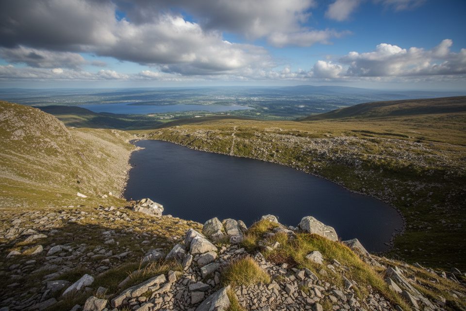
This is Mangerton’s classic line: a steady climb to the Devil’s Punchbowl—an amphitheater‑like glacial lake—then a push up the west ridge to the broad, feature‑poor summit plateau. Expect about 6.2 miles total (out‑and‑back) and 4–5 hours for most hikers. The draw is simple: a wild corrie, sweeping views over Killarney’s lakes, and a real mountain feel without technical scrambling. Underfoot is a mix of rocky and grassy paths with wet, boggy patches and a notably rocky descent.
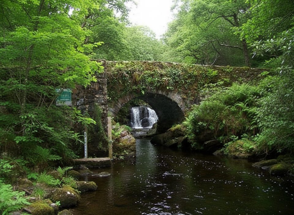
Start from the “concrete slab bridge” trailhead and follow the worn track to the Devil’s Punchbowl. Skirt the rim, then climb the west ridge onto the wide, flat summit area to tag the true high point before reversing your steps. Navigation can feel straightforward in clear weather but turns tricky fast in mist because the summit plateau lacks strong features. If conditions deteriorate, make the Punchbowl your turnaround rather than committing higher. Strong winds are common around the rim. Ambitious hikers sometimes extend to Stoompa for a longer horseshoe, but that’s a different day out with extra distance and time.
Count on mud in wetter months and slick rock after rain. Wear sturdy waterproof boots with ankle support, bring layers for fast‑changing weather, and pack enough food and water—there are no facilities on the mountain. Signage is limited; download an offline map and carry a compass. In low visibility, take a bearing across the summit plateau and keep well back from corrie edges in high winds. Treat any stream water before drinking.
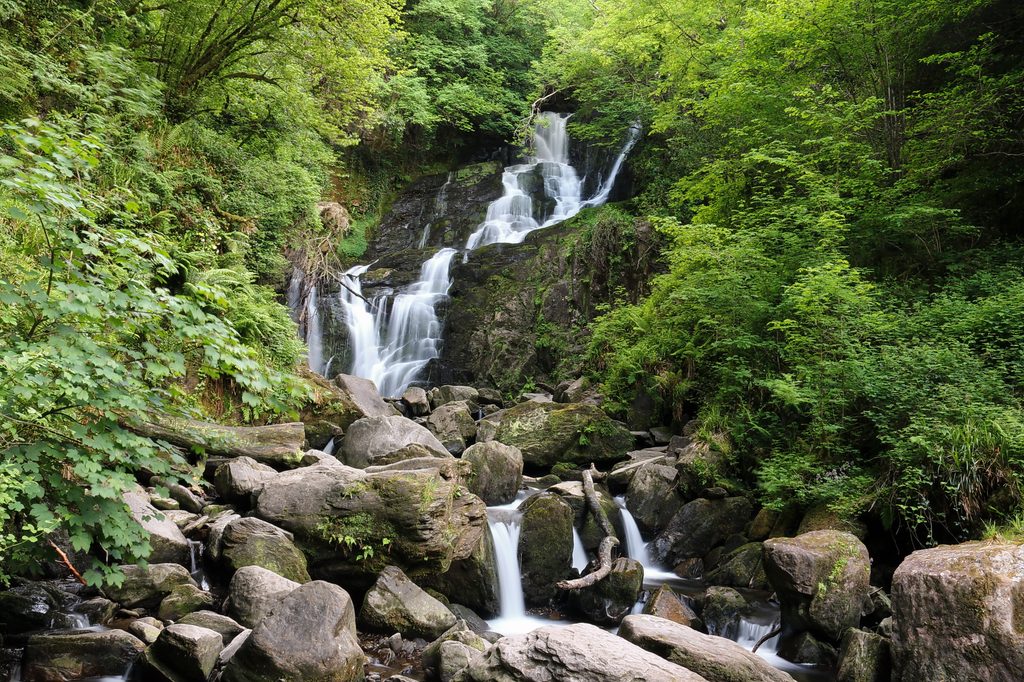
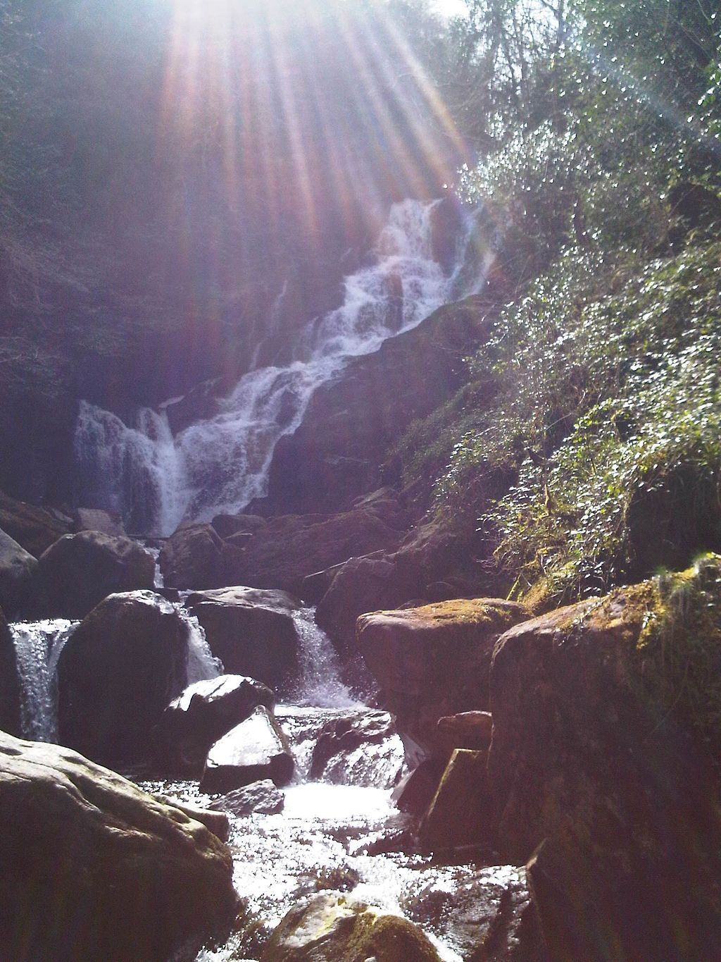
Mangerton is built of Devonian green sandstones and purple siltstones, sculpted by Ice‑Age glaciers. The Devil’s Punchbowl is a textbook corrie that drains to the Owengarriff River and ultimately Torc Waterfall. Watch for red and sika deer on the open hillsides and keep an eye skyward for peregrine falcons—and, if you’re lucky, a white‑tailed sea eagle.
Year‑round with care. Clear, calmer days reward you with the big lake‑and‑mountain panorama this route is known for. Shoulder and winter seasons are wetter, windier, and slower underfoot, so start early and build a daylight buffer.
From Killarney, take the N71 toward Kenmare, then turn left just past Molly Darcy’s Pub to reach the approach road. Parking is typically free by the trailhead. Public transport to the start is limited, so plan on driving or arranging a ride. Dogs should be on‑lead.
Small, typically free parking by the concrete slab bridge trailhead; reach it from the N71 out of Killarney, turning left just past Molly Darcy’s Pub. Public transport is limited.
Rapid weather shifts, strong winds near corrie edges, boggy footing, and poor visibility on a featureless summit plateau—carry layers, offline maps, and treat natural water.
Place · 1.1 mi away
Place · 1.1 mi away
Place · 1.2 mi away
Place · 1.2 mi away
Moderate · 1.1 mi away
Moderate · 1.1 mi away
Moderate · 1.1 mi away
Moderate · 1.1 mi away

Parkwolf Tour Guide
