
Place · 0 mi away
Challenging
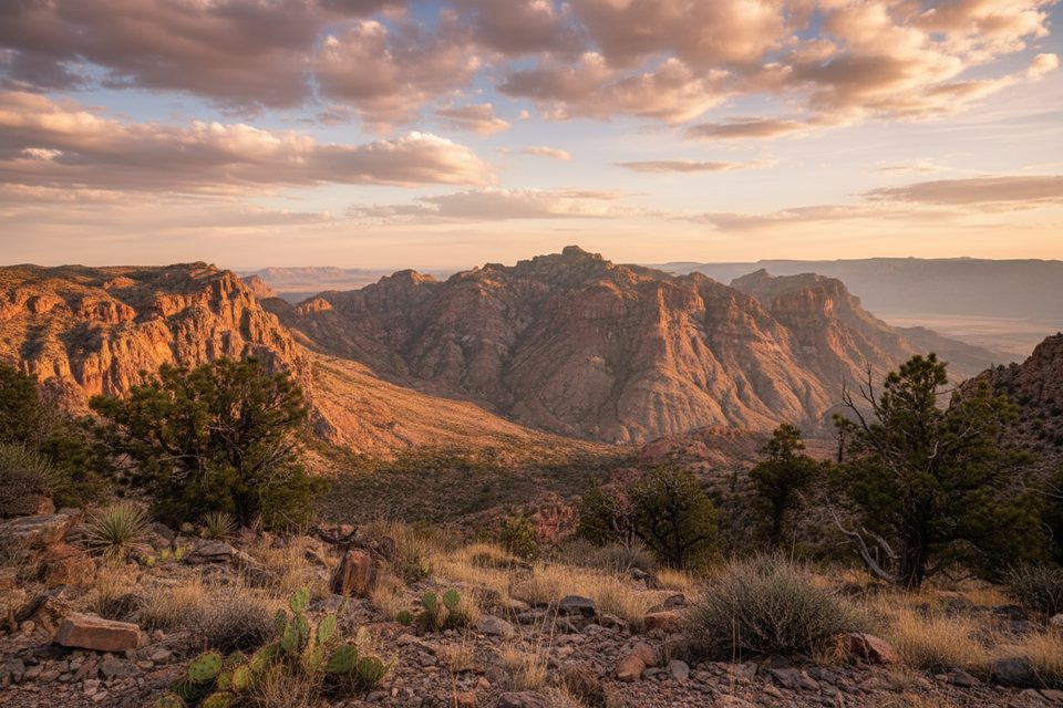
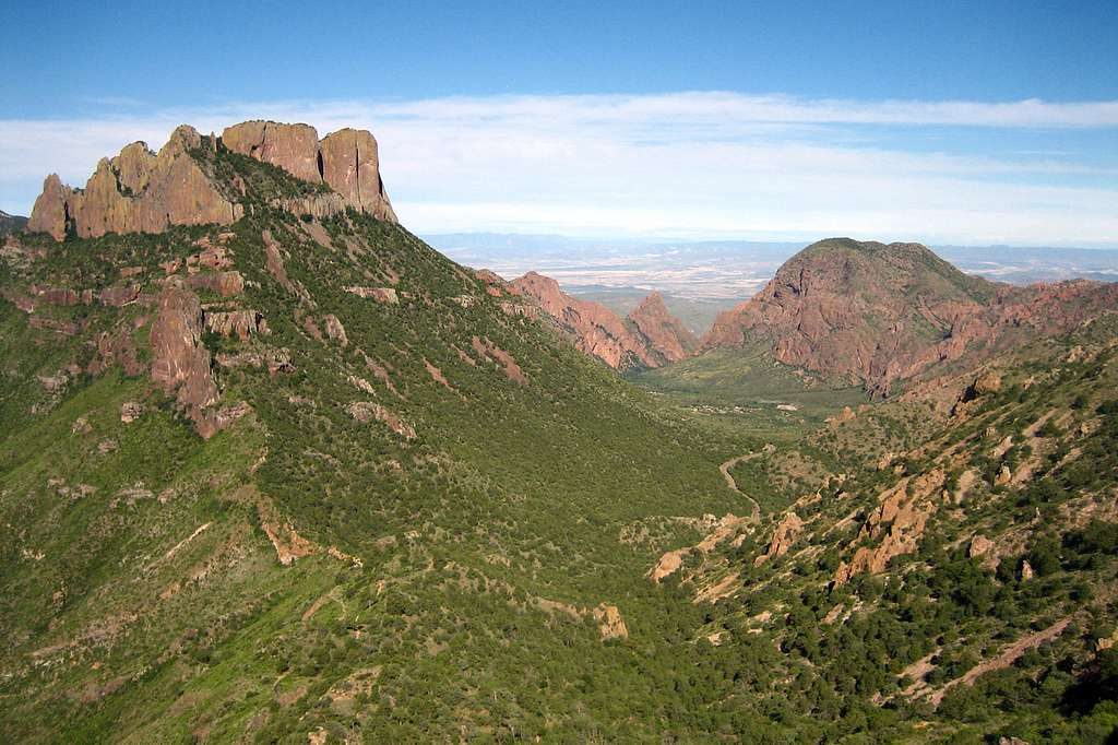
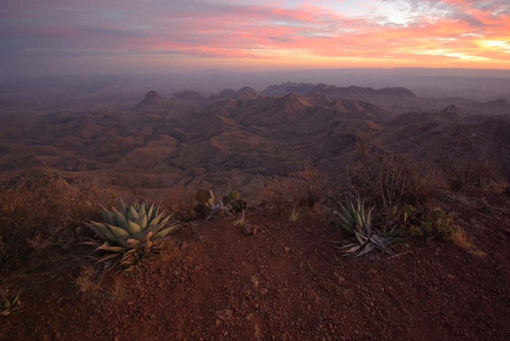
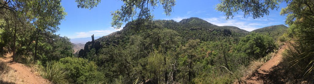
The East Rim Trail is a backcountry rim walk with sweeping, unobstructed views over the Chihuahuan Desert and surrounding mountains. It’s quieter and, for some, even more breathtaking than the more famous South Rim. The East Rim section itself is about 2.4 miles, but you must first earn it with a long, steep approach to the high volcanic plateau where the rim sits.
Plan for a full-day effort. While the East Rim segment is roughly 2.4 miles, reaching it requires 6–7 miles of climbing from the Chisos Basin via the Pinnacles Trail (about 8.5 miles if you come up Laguna Meadow). Most hikers doing East Rim as a day trip log roughly 13–15 miles round trip, with over 2,000 feet of gain to reach the rim. Trails are well marked and maintained.
The reward is a dramatic traverse along the edge of a high lava plateau: big sky, deep desert basins, and layered mountain country in every direction. You’re walking through classic Chihuahuan Desert plant communities perched above it all, with a sense of rugged solitude that’s hard to find elsewhere on the rim.
Primitive backcountry sites (like ER-4) are tucked back 150–300 feet from the cliff edge in shaded spots. They’re quiet and private, but you’ll walk a short way for the best dawn and dusk views. No water is available—carry everything you need—and packing out human waste with a commercial kit is required. Overnight use of these sites requires a backcountry permit; day hiking does not.
You can reach the rim year-round, but it’s best from fall through spring when temperatures are cooler. Summer heat is intense and there’s no water anywhere on the route or the rim. Start early for cooler temps, gentler light, and to bank time for the long descent.
This is strenuous, remote terrain with sustained climbing and exposure along the rim. A portion of the East Rim is annually closed from February 1 to May 31 to protect nesting peregrine falcons (the closure typically affects the stretch between ER‑3 and the southern Boot Canyon junction). Always check the current status before you go. Pets are not allowed on park trails.
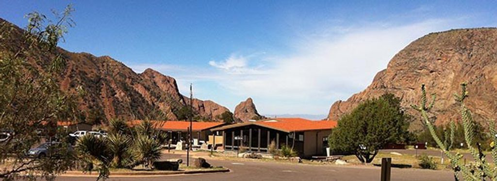
Overnight parking at the Chisos Basin Amphitheater next to the main campground.
Strenuous climb with 2,000+ feet of gain, full exposure, and no water; pack out waste; partial East Rim closure Feb 1–May 31 for peregrine nesting.
Place · 0 mi away
Place · 0 mi away
Place · 0.1 mi away
Place · 0.1 mi away
Challenging · 0 mi away
Moderate · 0 mi away
Moderate · 0 mi away
Moderate · 0 mi away

Parkwolf Tour Guide
