
Place · 0 mi away
Challenging
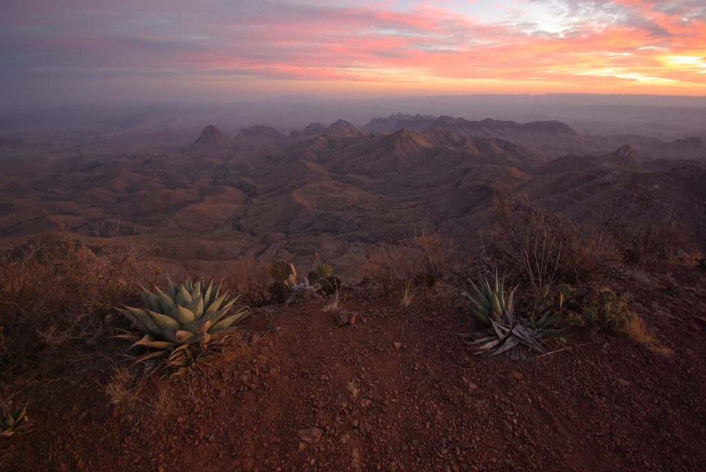
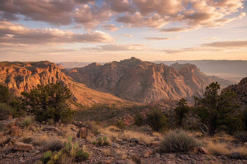
If you want the biggest views in the Chisos, this is the one. The South Rim Loop is a challenging mountain loop that starts and ends in the Chisos Basin and delivers hours of cliff‑edge panoramas over the Chihuahuan Desert, the Rio Grande, and deep into Mexico. Plan on roughly 12.6 miles total for the loop (no shuttles, no shortcuts), with substantial elevation gain and high‑country time that feels a world away from the desert floor.
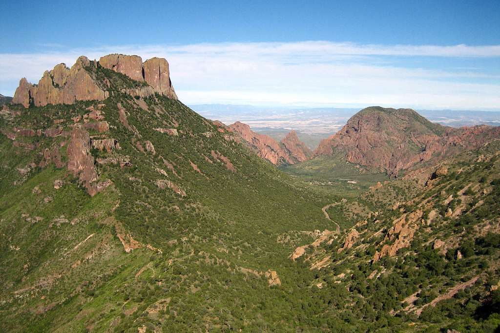
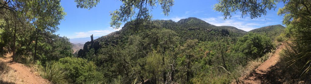
Most hikers climb the gentler Laguna Meadows Trail, traverse the South Rim, and descend the steeper Pinnacles Trail, linking with Boot Canyon to complete the loop. The rim itself is split into two distinct sections—Southwest and Southeast—so the vistas keep changing rather than repeating. Watch for short side spurs to the best overlooks; the famous Boot Rock spire is a fun landmark near the rim. Forested pine‑oak slopes on the Laguna Meadows approach give way to volcanic cliffs and big sky along the rim.
This is a strenuous day, with sustained climbing and altitude that can slow you down. Expect around 2,000–2,400 feet of total ascent depending on your exact variant. There are no reliable water sources on the rim—carry all you need (3–4 liters per person is a solid target for most hikers). Trail signage is good, but cell service is spotty, so have a map or offline navigation. The Pinnacles descent is steep and rocky; trekking poles help knees and balance.
Black bears are active in the Chisos (Boot Canyon gets frequent mentions), so stay alert and practice food storage if you’re backpacking. You may spot javelinas, deer, and raptors riding thermals along the cliffs. Portions of nearby rim segments can close seasonally for nesting raptors—check current postings before you go.
If you have gas in the tank, the separate Emory Peak spur (the park’s high point) can be added for a very big day—about 3 extra miles round trip—with 360° views. Many hikers say the South Rim’s cliffside scenery is the star, so don’t force the add‑on if you’re feeling worked.
October through April brings cooler temps and the best odds for a comfortable long day. Summer heat can make this loop punishing. Start early to snag parking, climb in the cool, and hit the rim before midday glare. Backpackers with a permit can catch rim sunrise or sunset from designated sites—arguably the prime way to experience the views.
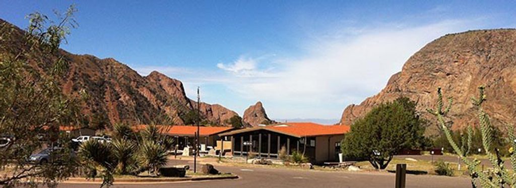
Park at the Chisos Basin Visitor Center area; arrive early to secure a spot and beat the heat.
Long, strenuous loop with sustained elevation and limited shade; no reliable water on the rim—carry 3–4 liters per person. Black bear activity is common (especially around Boot Canyon); use bear‑safe practices if camping. Some rim segments may close seasonally for nesting raptors. Steep, rocky footing on the Pinnacles section can punish knees.
Place · 0 mi away
Place · 0 mi away
Place · 0.1 mi away
Place · 0.1 mi away
Challenging · 0 mi away
Moderate · 0 mi away
Moderate · 0 mi away
Moderate · 0 mi away

Parkwolf Tour Guide
