
Place · 1.5 mi away
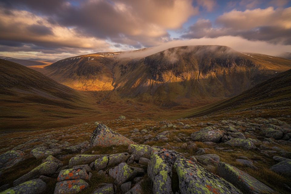
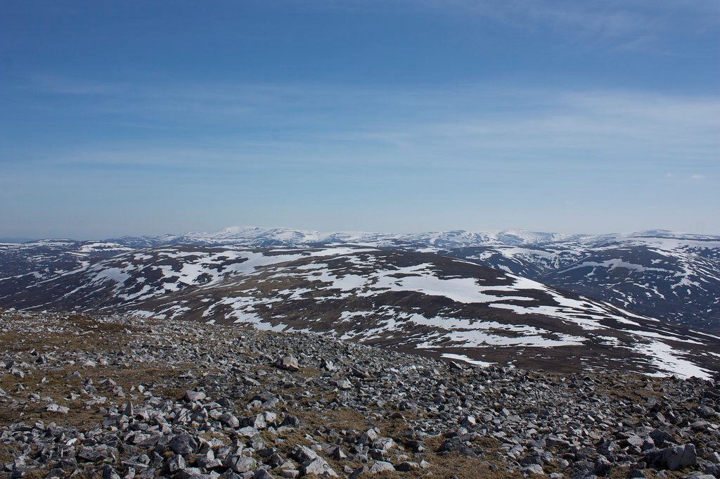
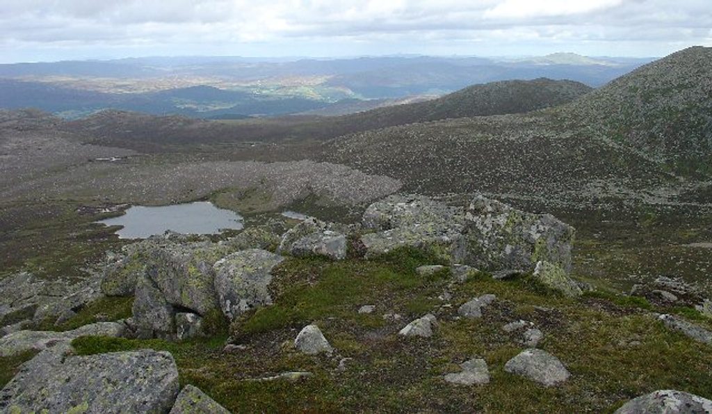
Cairn of Claise is a 1,064 m Munro in the southern Cairngorms, known for its broad, gently undulating plateau and huge skies. It’s not a dramatic peak, but on a clear day the panorama stretches over Glen Shee to nearby Munros like Glas Maol, Tolmount, and Carn an Tuirc. The summit is marked by a large cairn and feels satisfyingly remote.
This is classic high plateau country: big spaces, subtle contours, and a sense of wildness rather than crags and corries. It’s often folded into multi‑Munro circuits, making it a great value summit on a longer round rather than a stand‑alone objective.
Most walkers approach from Glen Shee (often starting near the ski centre or the A93) and link Cairn of Claise with one or more neighboring tops. Expect grassy and stony ground with heather patches, and occasional boggy stretches after rain. Circuits that include several Munros typically take 6–8 hours or more—plan your time and energy accordingly.
Keep an eye out for mountain hare, ptarmigan, and red grouse on the higher ground, with red deer on lower slopes. Raptors occasionally patrol these open skies—worth packing binoculars if you like birding.
The plateau is very exposed to wind and rapid weather changes. In mist or snow the featureless terrain makes navigation challenging—map and compass (and the skills to use them) are essential. In winter, expect snow cover and potentially icy sections where crampons and an ice axe may be needed. There are no services or shelter on the hill.
There are no facilities at or near the summit—no toilets, food, water taps, or designated parking. Treat this as a fully self‑supported mountain day, using village services or lower‑level car parks before you start.
Like much of the range, the hill is underpinned by granite shaped by glaciation into rolling plateaux. The name is Gaelic in origin, translated along the lines of “cairn of the furrow/ditch.”
Aim for clear, settled weather to make the most of the views and to simplify navigation. Late spring through early autumn offers longer daylight and typically easier conditions. Start early if you’re linking multiple Munros, and save winter ascents for when you have the kit and experience.
Place · 1.5 mi away
Place · 1.7 mi away
Place · 2 mi away
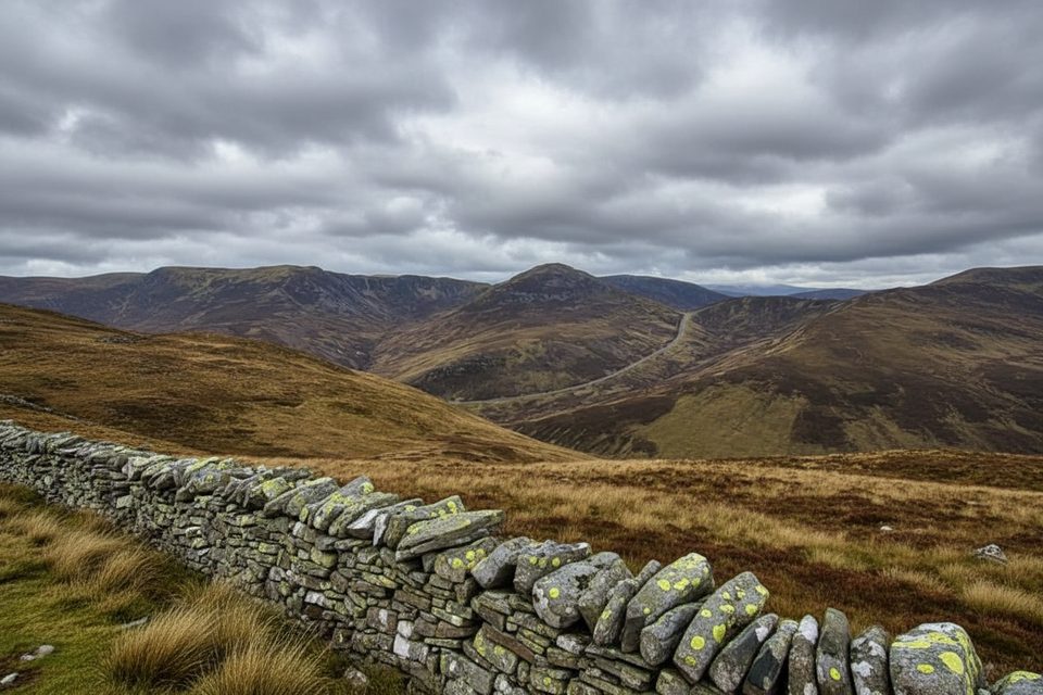
Place · 2.9 mi away
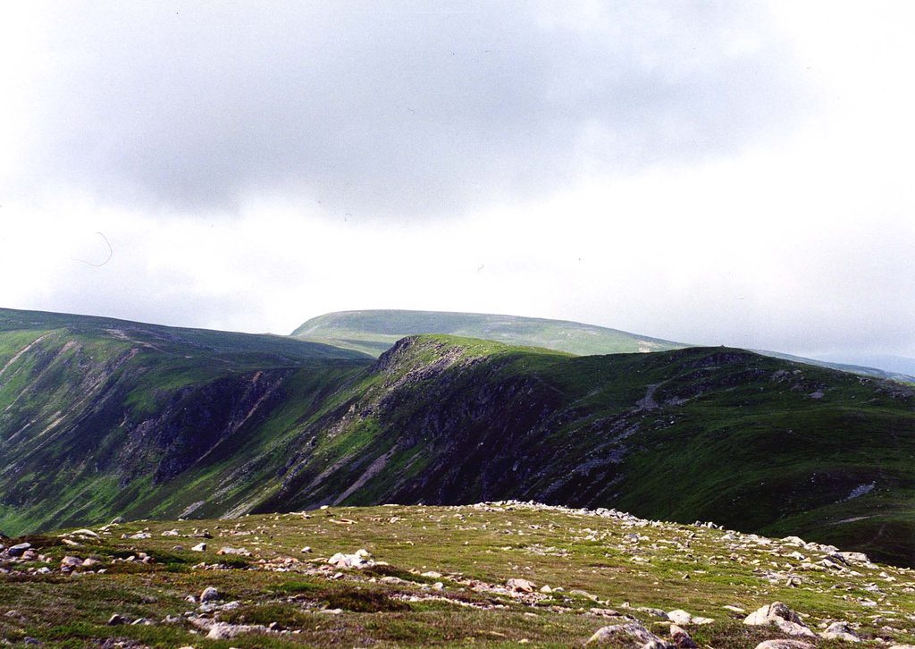
Moderate · 3.1 mi away
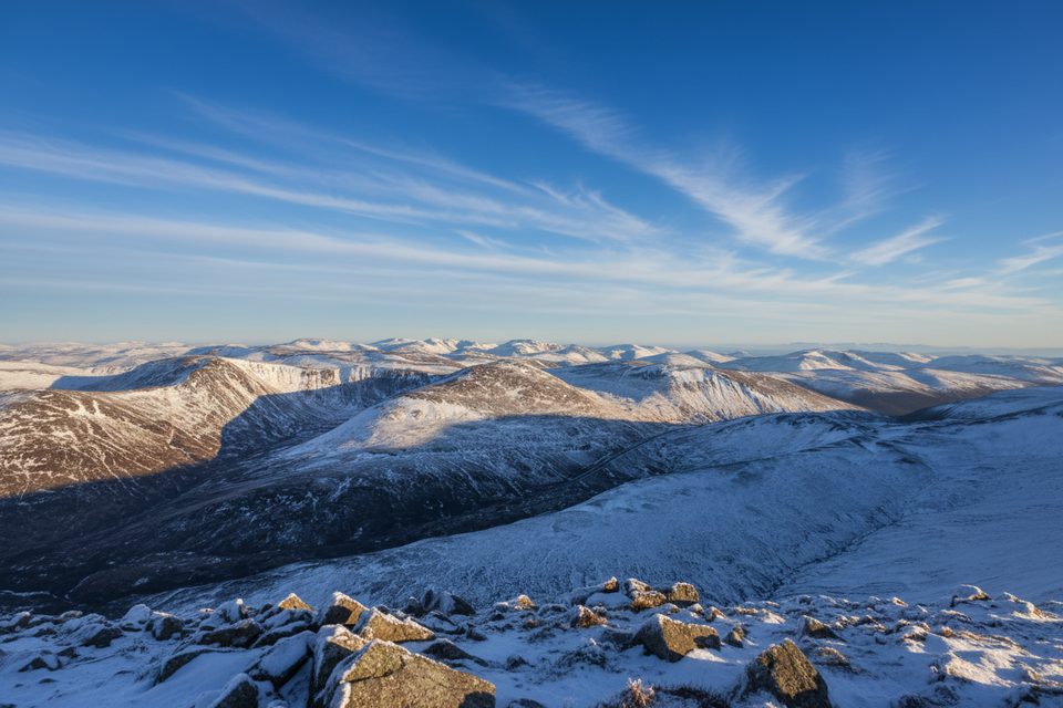
Moderate · 3.1 mi away
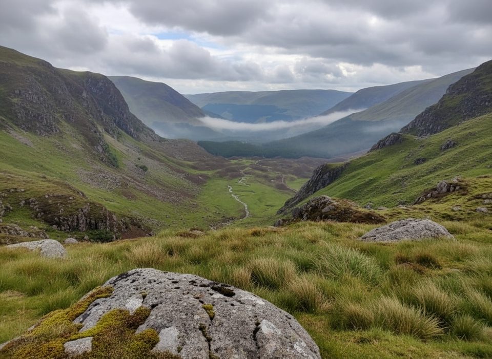
Moderate · 5.9 mi away
Challenging · 6.9 mi away

Parkwolf Tour Guide
