
Place · 0.3 mi away
Moderate
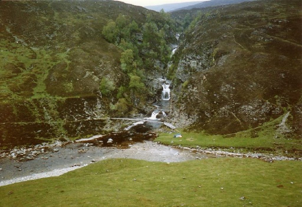
This is a big, beautiful day up a classic Highland glen. Starting near the Old Bridge of Tilt at Blair Atholl, you follow estate tracks beside the River Tilt all the way to the dramatic Falls of Tarf—where a suspension footbridge spans a rocky gorge. It’s long but not technical: steady gradients, good surfaces, and huge scenery.
Plan for a long out-and-back: roughly 12.5 miles (20 km) one way to the Falls of Tarf, about 25 miles total if you walk the full return. Most of the approach uses clear estate tracks and paths. The final approach to the falls is on foot; many cyclists pedal most of the glen and leave bikes before the rougher end section. If that distance feels too punchy, sample the excellent lower Glen Tilt circuit instead and save the falls for a bike-assisted outing or a longer summer day.
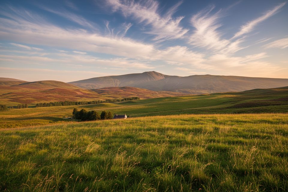
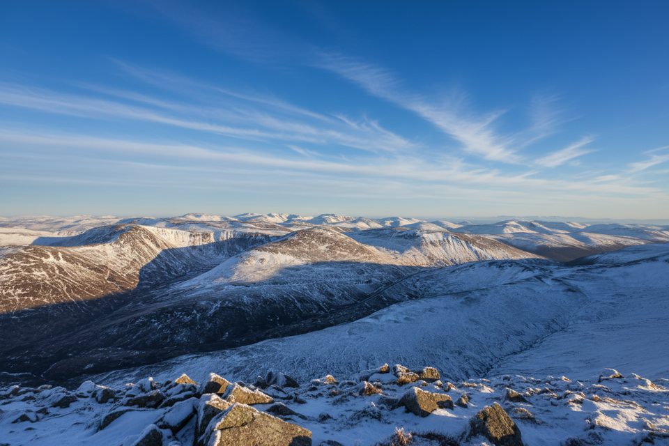
Glen Tilt earns its reputation: constant river views, rapids, and deep pools framed by a grand mountain skyline—especially the Beinn a’ Ghlò massif guarding the east. The Falls of Tarf deliver the finale: a tight gorge and surging cascades with a memorable footbridge crossing. Keep an eye out for red deer on the slopes and raptors riding thermals (golden eagle and buzzard are both possible if you’re lucky and patient). You’ll pass scattered ruins hinting at past clearances, and the glen’s geology is a quiet star—fault-aligned river cuts, marble outcrops, and rock faces that helped shape modern geological thinking.
Underfoot it’s mostly landrover track—great for steady progress and very bike-friendly. The glen grows quieter and more remote as you head north, with only a handful of estate lodges breaking the solitude. Expect variable conditions after rain (muddy patches), and remember there are no services once you leave the car park—this is a self-sufficient day out.
Spring through autumn is prime: longer days, greener glen, and strong spring flows at the falls. Winter is possible but only for well-prepared parties—short daylight, cold, and a very remote feel make the full out-and-back a serious undertaking.
Glen Tilt Car Park near the Old Bridge of Tilt in Blair Atholl; look for the information board and clear signage at the trailhead.
Long, remote outing with changing weather and no services; carry a map/GPS, full supplies, and be ready to turn back if rivers run high or conditions deteriorate. Keep dogs under close control around livestock and deer.
Place · 0.3 mi away
Place · 0.4 mi away
Place · 0.5 mi away
Place · 0.5 mi away
Moderate · 0 mi away
Moderate · 0 mi away
Moderate · 18 mi away
Moderate · 18 mi away

Parkwolf Tour Guide
