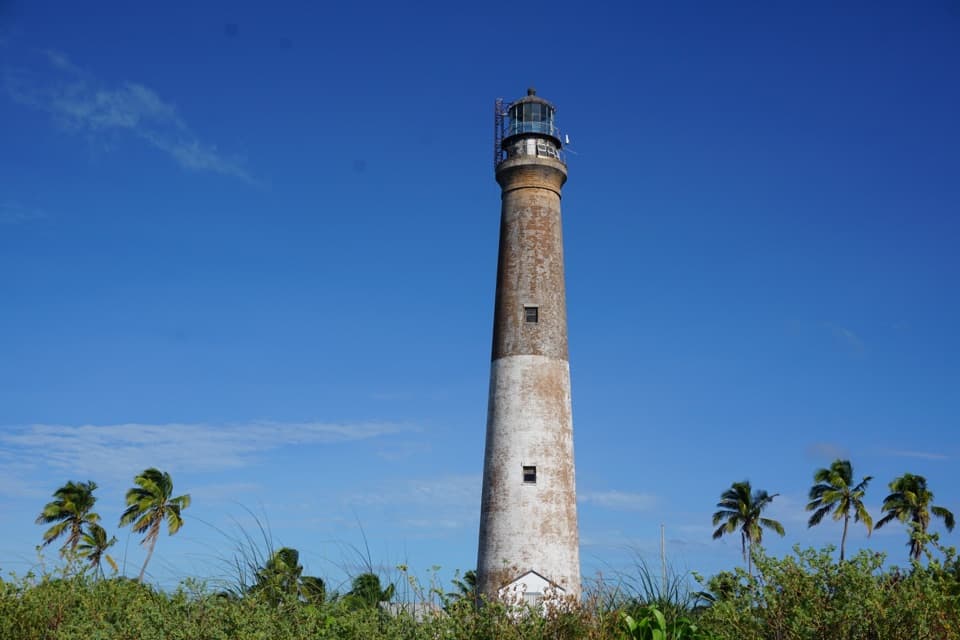
Parking
There is no road access or car parking. Ferry and seaplane visitors arrive at Garden Key; cross to Bush Key on foot only when the sand bridge connects the keys. When it is absent, NPS lists kayak or canoe access.
#1 of 2 trails in Dry Tortugas
Dry Tortugas National Park, FL
A mile of shore beside up to 80,000 nesting sooty terns.
Overview
Map & elevation
Plan your hike

The highest, rockiest slopes around here are a summer buffet for grizzly bears.
Dry Tortugas Tour Guide
Parkwolf is a GPS audio tour guide for Dry Tortugas National Park. As you drive, it chimes in with what’s ahead: hidden gems, upcoming stops, history, geology, and wildlife, right through your car’s speakers.
More stories near here in the app
“Fantastic app with many points of information… It’s great to just turn on while you’re driving and it gives you an audio tour of the national Park. We love it!!!!”


Trail guide
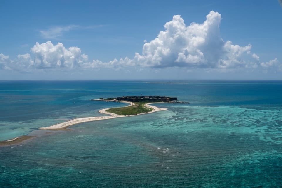
Bush Key Trail is a one-mile round-trip out-and-back along the island’s south shore, just east of Fort Jefferson. It follows the beach from the Garden Key approach for about half a mile, then returns the same way. Sand and coral rubble, open water and a major seabird colony are the appeal. The exact turn point is not marked in the sources, so treat the mapped line as a shoreline guide rather than a surveyed tread. Allow about 45 minutes to an hour if you stop to watch birds; that is a practical estimate, not a published time.
The shoreline surface changes from sand to coral rubble. There is no summit climb; the experience is a walk along the edge of a low island. The beach itself shifts, so the line can sit a little differently from the walkable strip. Wear footwear and keep to the route marked for visitors.
Bush Key is a 16-acre island that supports a major colony of sooty terns and brown noddies. NPS reports up to 80,000 nesting sooty terns and 4,500 brown noddies. Stay on the shoreline trail and out of vegetation. The key closes seasonally for nesting, generally from around February into September, so check current access before building your day around this walk.
Bush Key is made of carbonate sand and coral rubble over older reef limestone. Storms, erosion and newly deposited sediment reshape these low islands; Bush Key has generally shifted west toward Garden Key. That is why the sandy bridge between the two keys appears and disappears, and why this is an approximate shoreline route rather than a fixed path.
Boats and seaplanes are the only way to reach Dry Tortugas; ferry and seaplane visitors arrive at Garden Key. Walk across the sand bridge only when it connects the keys. When it is absent, NPS lists kayak or canoe access. There are no services in the park, so bring what you need with you. Pets are not allowed on Bush Key. From the shore, frame the curve of sand with Fort Jefferson beyond to show how far out this small island sits.
Wildlife
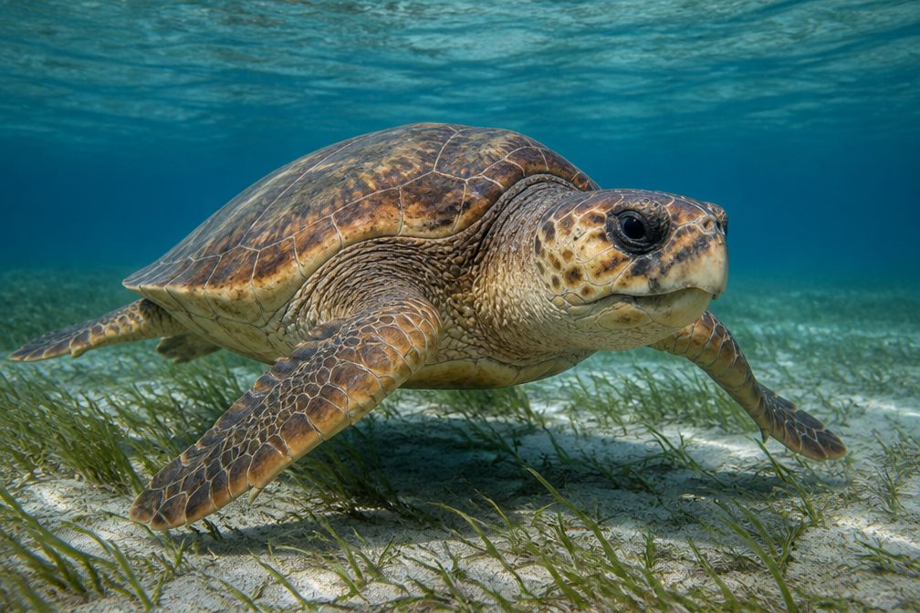 13 sightingsLoggerhead Sea TurtleMost seen around 7 PMSighting map
 12 sightingsGreen Sea TurtleMost seen around noonSighting map
 11 sightingsGreat White HeronMost seen around 7 AMSighting map
 102 sightingsMasked BoobyMost seen around 8 AMSighting map
 65 sightingsBrown BoobyMost seen around 10 AMSighting map
 12 sightingsRed-footed BoobyMost seen around 5 PMSighting map
Sighting maps show where each species has been reported across Dry Tortugas. Wildlife moves, so no sighting is guaranteed.
Keep exploring
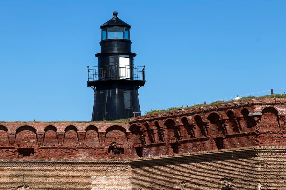 Sight · 0.1 mi awayTortugas Harbor LightAn iron lighthouse rises above Fort Jefferson's brick defenses.
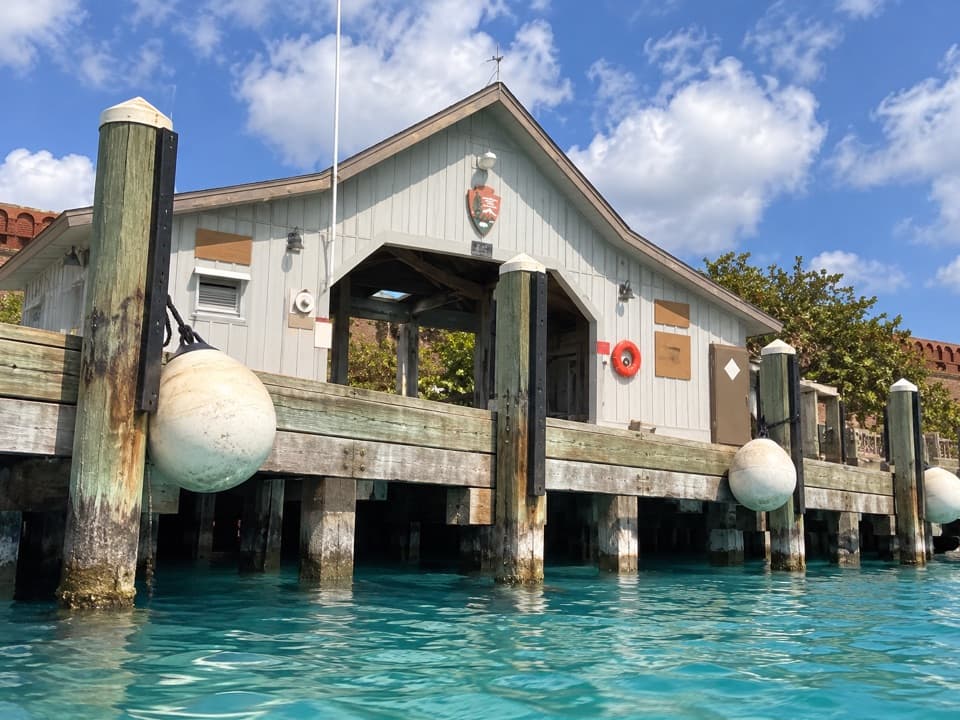 Sight · 0.1 mi awayGarden Key Dock House and InformationThe ferry arrival stop at Fort Jefferson's only entrance.
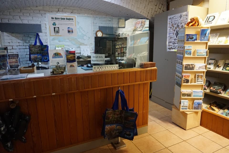 Visitor center · 0.1 mi awayGarden Key Visitor CenterA cool stop for fort artifacts and a quick island primer.
 Beach · 0.1 mi awayNorth BeachAn easy-entry swim beach around the back of Fort Jefferson.
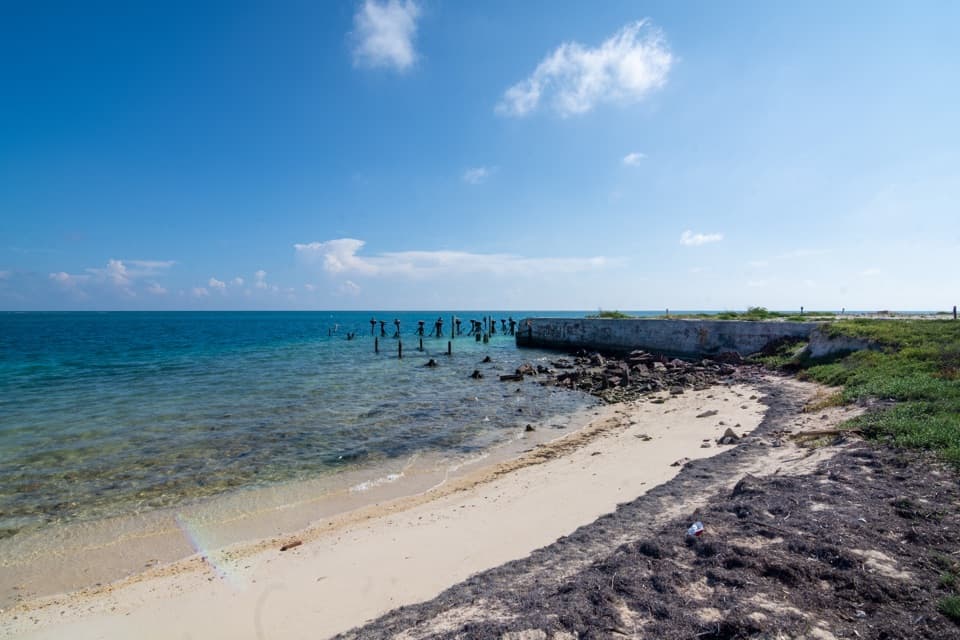 Beach · 0.2 mi awayGarden Key Dinghy BeachThe designated landing for small craft on Garden Key.
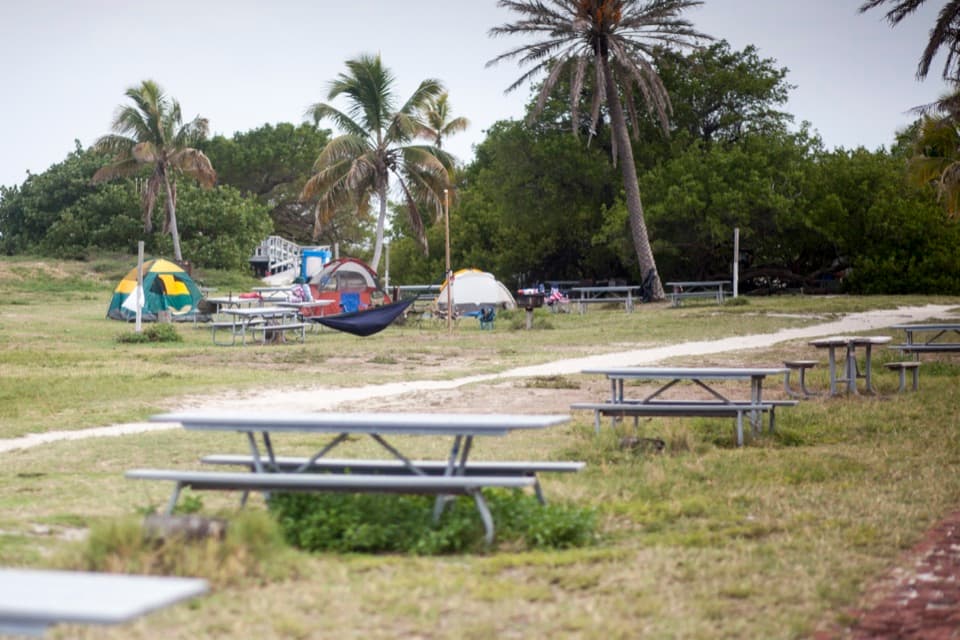 Campground · 0.2 mi awayGarden Key CampgroundStay overnight for Garden Key after the day visitors leave.
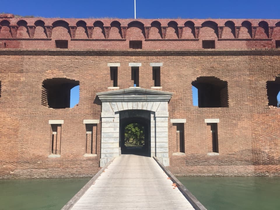 Sight · 0.2 mi awayFort JeffersonA vast brick fort that became a Civil War prison.
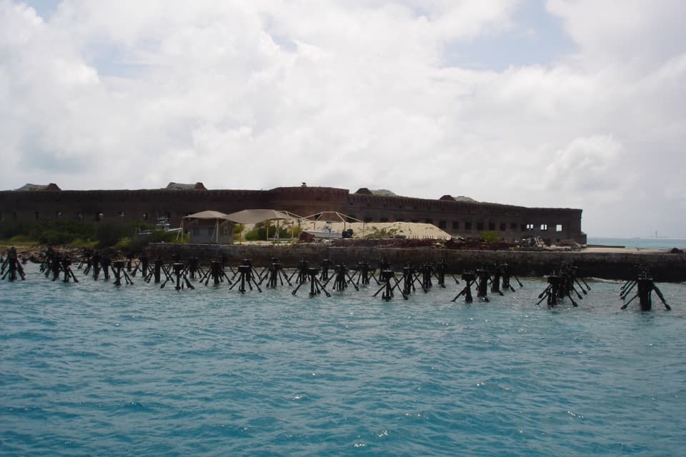 Sight · 0.2 mi awayNorth Coaling DocksSwim over the Navy’s old pilings beside a deep, fish-rich channel.
Parkwolf’s Dry Tortugas ranking

The audio tour guide for the drive, plus offline maps, trails, and wildlife heatmaps for when the signal drops.