
Alerts

Great Smoky Mountains National Park alerts

Current notices from official park sources.
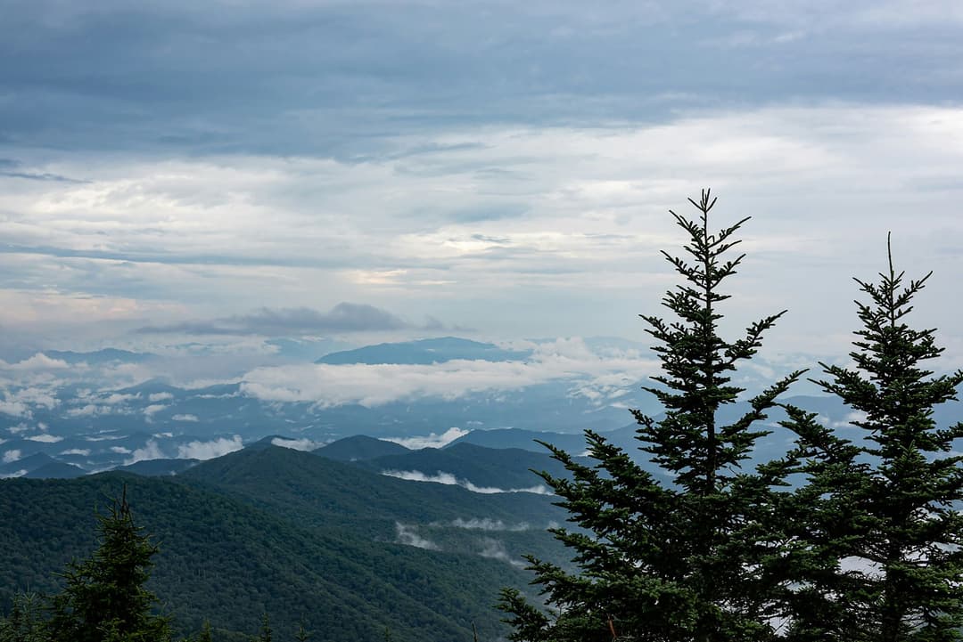
Great Smoky Mountains National ParkImage credit: Parkwolf

Closure

Abrams Falls Trail closed Monday–Thursday

Abrams Falls Trail is closed Monday through Thursday through September 30, 2026, for rehabilitation work. - Crews are replacing four aging footlog bridges and handrails and building stairs at a steep, slick rock section near Abrams Falls to improve footing. - Rigging equipment, animal-packer supply deliveries, and footlog removal and replacement require the closure to protect visitors and employees while work is underway. - The trail is open Friday through Sunday and on Labor Day during construction. Check current trail closures before hiking.Official details

Closure

Mingus Mill temporarily closed

Mingus Mill is temporarily closed for preservation and rehabilitation work. - Choose another historic destination or attraction while the mill remains closed. Check current closures before traveling.Official details

Information

Cades Cove Loop Road vehicle-free Wednesdays

Cades Cove Loop Road is closed to motor vehicles every Wednesday through September 30, 2026. - This temporary closure allows pedestrians and cyclists to use the loop without vehicles; schedule motor-vehicle touring for another day. Check current park conditions before traveling.Official details

Caution

Bear and bat closures and warnings in backcountry

Hazel Creek Trail, Derrick Knob Shelter, and campsites 19, 34, 70, 82, and 91 are closed; use extreme caution near Trillum Gap Trail and Silers Bald Shelter. - Hazel Creek Trail is closed from campsite 83 to the intersection with Welch Ridge Trail; campsite 83 and Bone Valley Trail remain open. - Derrick Knob Shelter is closed because of increased bat activity inside the shelter. - Campsites 19 and 91 are closed because their bear-cable systems are down; campsites 34, 70, and 82 are closed due to bear activity. - Bears are active near Trillum Gap Trail and Silers Bald Shelter; use extreme caution there. Check current trail closures and warnings before setting out.Official details

Closure

Scott Mountain Trail partially closed

Scott Mountain Trail is closed from campsite 6 to Schoolhouse Gap; use an alternate route for the closed section. - Campsite 6 remains open. Check current trail closures before hiking.Official details

Closure

Straight Fork and Balsam Mountain roads closed

Straight Fork Road and the one-way section of Balsam Mountain Road (Heintooga Round-Bottom Road) are closed. - Straight Fork Road has no scheduled reopening because of Hurricane Helene impacts; the seasonal-road listing gives its 2026 status as “TBD due to Hurricane Helene impacts.” - Do not plan vehicle travel on either road until reopening is reported. Check current road status before traveling.Official details

Closure

Park Headquarters Road closed

Park Headquarters Road is closed to public vehicles because of rehabilitation work on the Sugarlands water and wastewater systems. - Do not use the road to access park headquarters until reopening is reported. Check current park conditions before traveling.Official details

Closure

Backcountry trails and campsites closed or restricted

Hurricane Helene damage has closed or restricted multiple backcountry routes and campsites; check conditions and change plans before hiking. - Caldwell Fork, Gunter Fork, and Swallow Fork trails are closed to all users because washed-out trail surfaces, rockslides/debris, and lost bridges or footlogs have made routes or crossings unsafe; Swallow Fork fording may be high risk during rain. - Big Creek Trail is open only for its first 2 miles to hikers and equestrians and closed beyond Mouse Creek Falls because of significant damage; campsites 36 and 37 cannot be accessed from this trail, and parking near the ranger station requires an approximately ¾-mile walk. - Campsites 41 and 42 are closed; 39 and 40 are open but closed to stock. - Hyatt Ridge, Enloe Creek, and Camel Gap are closed to equestrians but open to hikers. Hemphill Bald, Pretty Hollow Gap, and Rough Fork are closed to equestrians; hikers should use extra caution because of landslides, washouts, erosion, missing footlogs, and damaged tread. - Boogerman is not advised because a 55-foot footlog washed away, leaving a crossing typically more than 2 feet deep. Rabbit Creek has a missing bridge at Abrams Creek, where the crossing may be deep during high water. Rough Creek is open, but travel is not recommended because of tread damage. - Use extra caution on Balsam Mountain Trail because the section from Gunter Fork to the Appalachian Trail has not been assessed; Gunter Fork Trail is closed. Be prepared for swollen streams, bridge washouts, downed trees, and erosion, and turn back if conditions are unsafe. Check current backcountry trail and campsite closures before hiking.Official details

PARKWOLF TOUR GUIDE

Like a tour guide in your car.

Parkwolf automatically chimes in with upcoming places, tips, hidden gems, history, and wildlife info as you drive through Great Smoky Mountains.
Download Parkwolf on the App StoreGet Parkwolf on Google Play
The Parkwolf tour guide sitting on a phone mounted in a car

