
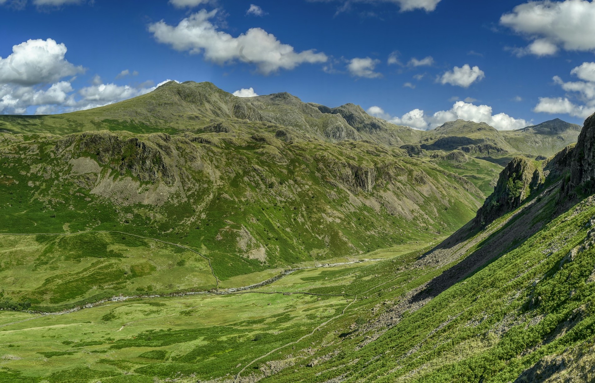
Lake District National Park

Lake District National Park, EN

Lake District alerts

8 current alerts from the park.

Photo: Parkwolf
Alerts
8
Closures
7
Cautions
1

ClosureUpdated

Chapel Stile footpath closed for retaining-wall risk

Part of Footpath 543030 between Chapel Stile and Baysbrown campsite is closed because a retaining wall beside the path could collapse and material it supports could fall across the footpath.

  • Use the alternative route through gaps in the wall, across a short section of field, to leave the access track.
  • The closure notice expires 16 October 2026, unless continued by a further order.

Check current rights-of-way closures and restrictions before travelling.

ClosureUpdated

Stanley Ghyll Lower Falls footpath closed for rockfall

The section of Footpath 408037 leading towards Stanley Ghyll Lower Falls is closed because severe rockfall damage has made the path unstable and further rockfall remains a danger.

  • Do not use the closed section between Footpath 408087 and the path termination point; it remains closed until the Authority can make the path safe and reinstate it.

Check current Stanley Ghyll restriction before travelling.

ClosureUpdated

Crag Cottage Bridge footpath closed

Footpath 582005 over the main-drain footbridge near Crag Cottage, Meathop, is closed because significant structural issues—including cracked or failed steelwork and bulging concrete—have made the crossing unsafe.

  • There is currently no alternative route; the Authority is working with the Environment Agency to replace or reinstate the crossing.
  • The Order expires 14 March 2027, or earlier if the likelihood of danger is removed.

Check current rights-of-way closures and restrictions before travelling.

CautionUpdated

Great Langdale Beck bridge restricted

Bridleway 543049 over Great Langdale Beck near Oak Howe is restricted to walkers because one bridge beam has begun to sag and could fail.

  • Horse riders, users with mobility equipment and cyclists must not use the bridge; there is no suitable nearby crossing, so alter your route using other rights of way or public highways.
  • The restriction expires 18 December 2026, unless the danger is removed sooner.

Check current rights-of-way closures and restrictions before travelling.

ClosureUpdated

Whinlatter paths closed for forestry works

Sections of Bridleway 201006 and Footpath 201044 at Whinlatter are closed for forestry thinning works, and open access is restricted during the works.

  • Follow signage: available routes vary and sometimes there is no suitable alternative; when available, alternatives include D-C-E-F, A-B-E-F, or the longer G-N-M-L-K-J route via Seat How, Ullister Hill and Lord’s Seat.
  • The Order may be extended if works are not complete; it runs for up to six months from 6 May 2026.

Check current rights-of-way closures and restrictions before travelling.

ClosureUpdated

West-coast rights of way closed for pylon works

Bridleway 405018 at Bell Hill Farm and Footpath 405004 at Holme Bridge are closed for Electricity North West pylon re-cabling works.

  • New cables are hazardous until fully tensioned, and heavy machinery obstructs the paths; closures are phased and there are no suitable direct alternatives.
  • Follow local closure signage; other named paths have reopened because their works are complete.
  • The Order is extended until 14 April 2027, or until the works are complete if earlier.

Check current rights-of-way closures and restrictions before travelling.

ClosureUpdated

Huck’s Bridge bridleway closed after landslips

Bridleway 355041 between the A6 at Huck’s Bridge and Breast High Road is closed because landslips and continuing riverbank deterioration have made its original line unsafe.

  • Walkers can use the adjacent alternative route.
  • Cyclists and horse riders must use the Breast High Road byway via the ford, which is sometimes impassable at the ford or stepping stones.
  • The Order expires 3 September 2027.

Check current rights-of-way closures and restrictions before travelling.

ClosureUpdated

Bannerdale footpath closed after erosion

Footpath 348013 beside the River Glenderamackin is closed because riverbank erosion and landslips have cut away the path, leaving it extremely narrow and hazardous in places.

  • Use the waymarked alternative B-C shown in green on the official plan; other alternatives cross rough ground and bracken and may not provide a safe, easy way around the hazards.
  • The Order expires 17 January 2027.

Check current rights-of-way closures and restrictions before travelling.

Take Parkwolf to Lake District.

The audio tour guide for the drive, plus offline maps, trails, and wildlife heatmaps for when the signal drops.

4.7 from 8,600+ ratings

Download Parkwolf on the App StoreGet Parkwolf on Google Play