
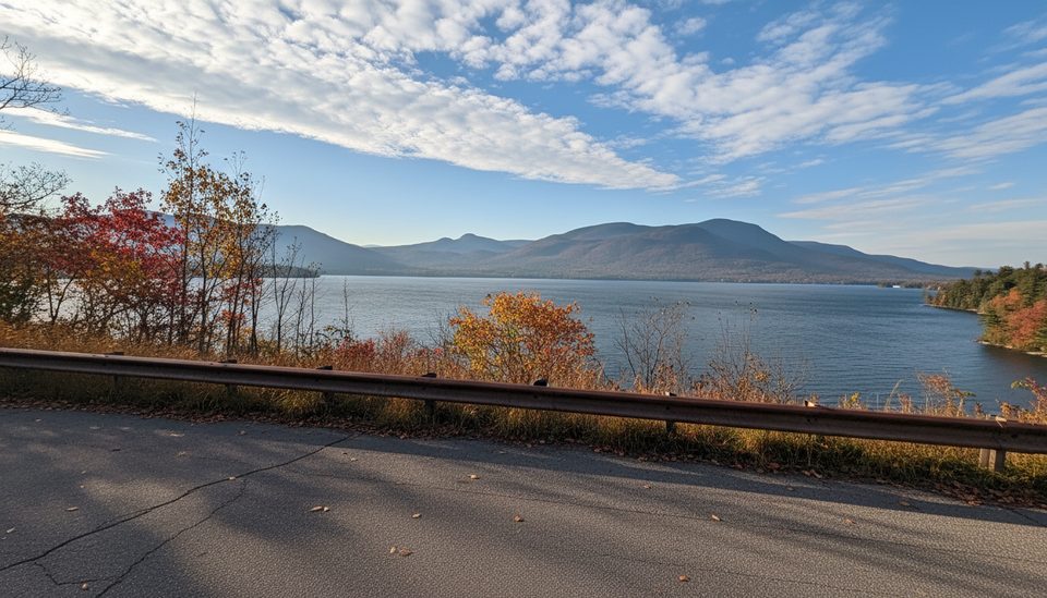
Place · 11.4 mi away
Moderate
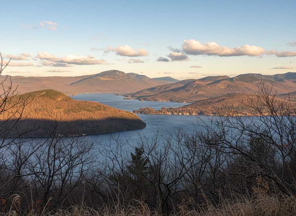
Cook Mountain is the quick-hit viewpoint you want at the north end of Lake George. From the kiosk on Baldwin Road in Ticonderoga, you’ll start on an easy, mostly flat Yellow Trail through mixed hardwoods and past a small bridge over a former beaver pond—now a regenerating wetland that’s lively with birds. Soon, you hook into the Ridges Trail for the real work: a short, sustained climb that’s steep and rocky in places before easing off near the top.
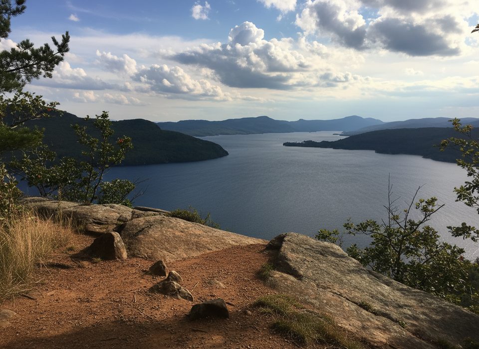
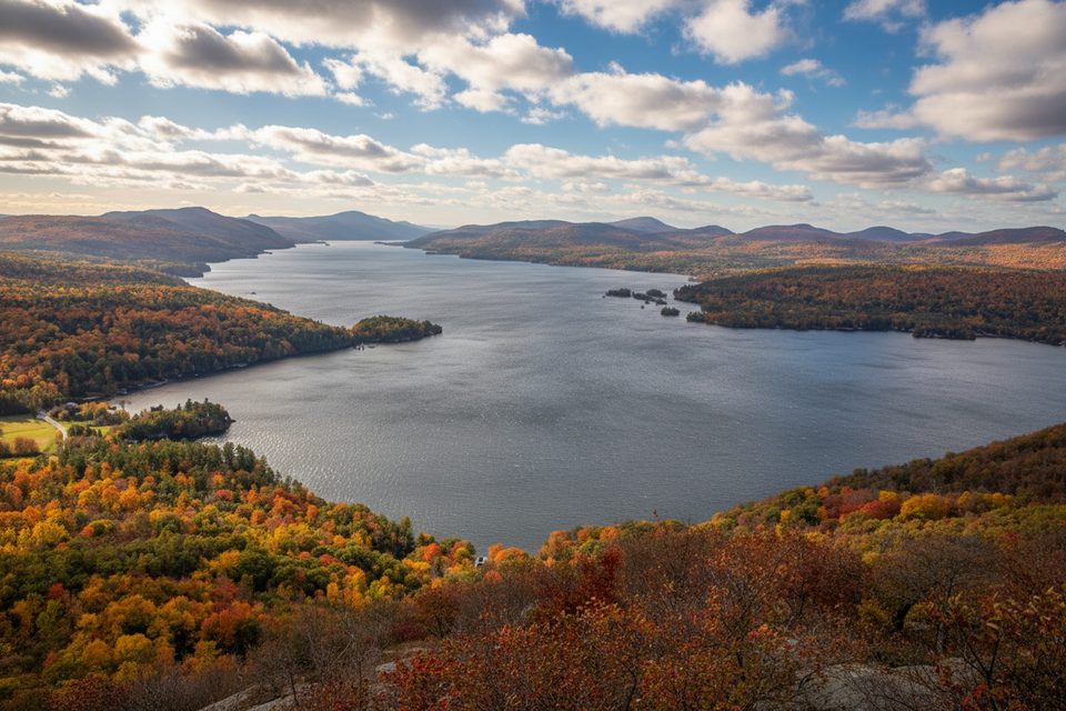
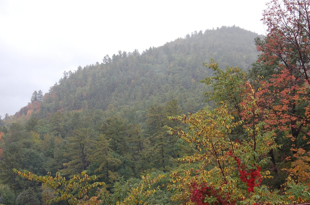
Expect about 3.0 miles round trip (out-and-back, including the gentle approach on the Yellow Trail). It’s not long, but the middle section is a grind; plan 1.5–3 hours depending on pace and how long you linger at the views. Near the summit (elev. ~1,213 ft), signs point to two distinct lookouts: “Vermont View” and “Lake View.” Hit both—one looks east to the Champlain Valley and the Green Mountains, the other sweeps over northern Lake George, with Ticonderoga below and familiar shapes like Rogers’ Rock and Anthony’s Nose framing the water.
This preserve mixes more than just views. Watch for remnants of an old railroad grade near the start, and consider the short side trip to a Civil War–era cemetery via a marked spur. The habitat shifts as you climb—wetland edges, old field, mixed beech–maple forest, and finally dry, rocky grassland along the open ridge. It’s a compact sampler of Adirondack foothill ecology.
Footing can be slick when wet, and the steep section will make you glad you wore real hiking boots. Trails are well-marked, but bring a map on your first visit so you don’t skip one of the lookouts. There are limited facilities—think small parking area and kiosk—so arrive prepared with water and a snack.
Best time to hike: clear days from spring through fall for long-range vistas, wildflowers, and excellent foliage. Winter is very doable on snowshoes and rewards with crisp views. For quieter vibes and softer light, go early or late in the day; this popular local climb still offers solitude at off-peak times.
Small parking area and kiosk on Baldwin Road in Ticonderoga; start on the Yellow Trail from the kiosk.
Middle section is steep and rocky; can be slick after rain or in winter. Limited shade on the open ridge and no facilities at the trailhead—carry water and wear sturdy boots.
Place · 11.4 mi away
Place · 12.3 mi away
Place · 12.3 mi away
Place · 14.8 mi away
Moderate · 2.9 mi away
Moderate · 3.5 mi away
Moderate · 12 mi away
Moderate · 12 mi away

Parkwolf Tour Guide
