
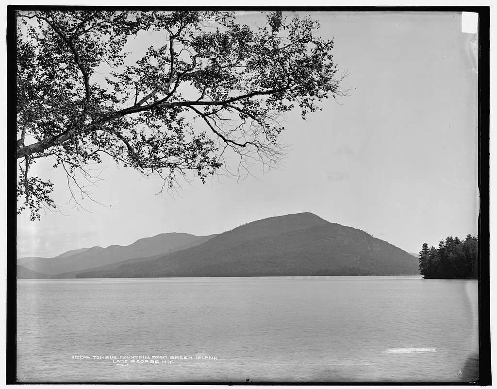
Place · 1.3 mi away
Challenging
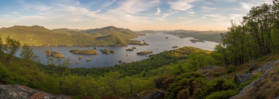
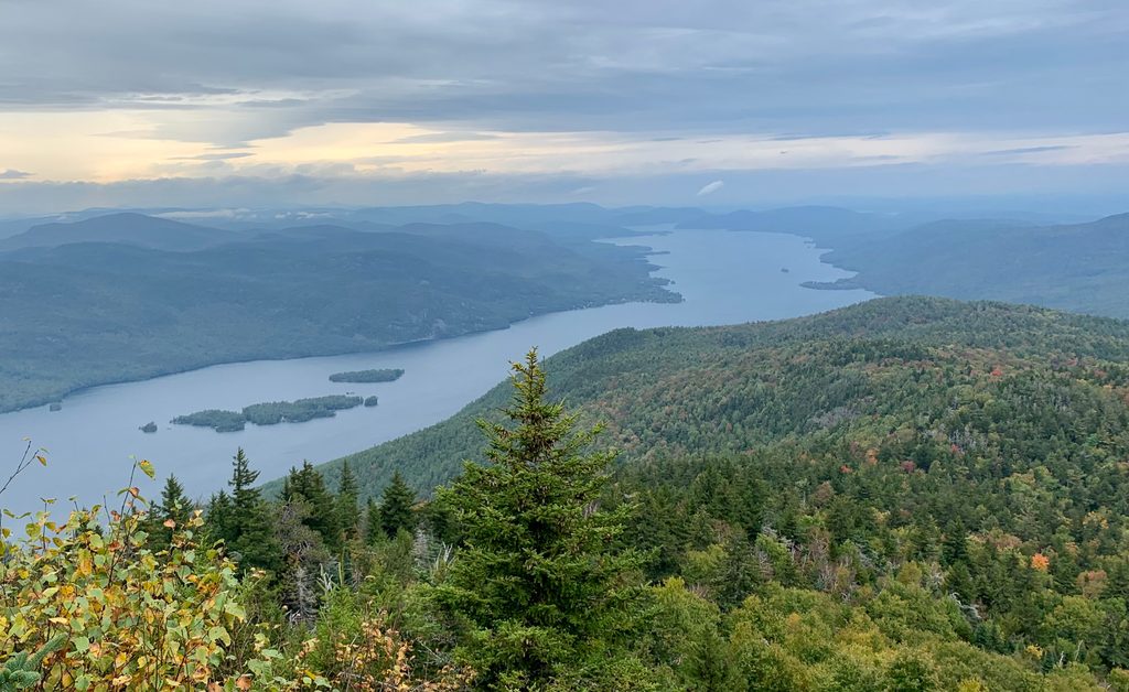
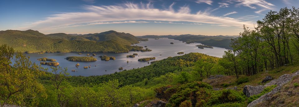
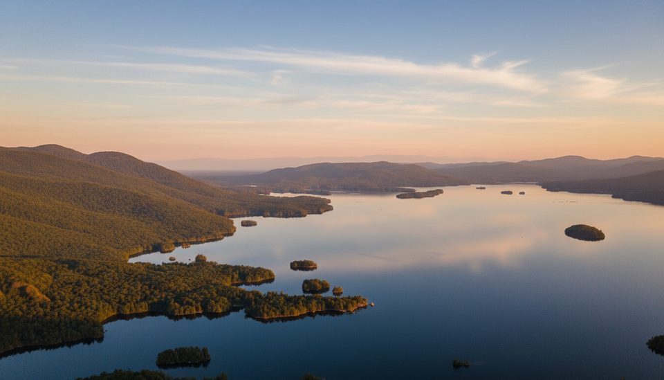
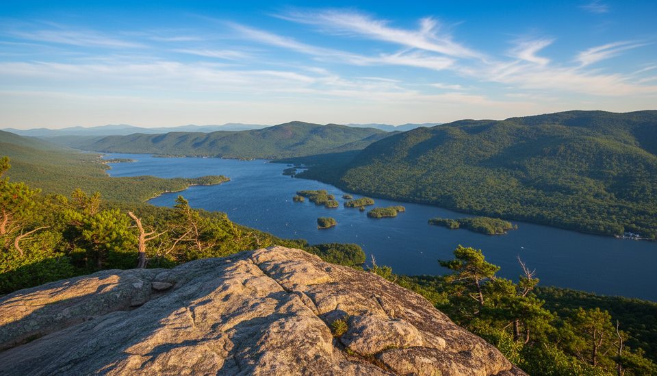
This is the Lake George ridge walk you do for big, sustained views without the High Peaks crowds. Starting from the Clay Meadows trailhead on Route 9N, you climb to the Tongue Mountain spine and head south over rocky knobs toward French Point and First Peak. Expect repeated ups and downs, cliffy south faces, and frequent open ledges that frame islands, the Narrows, and—on clear days—the Adirondack High Peaks and Vermont’s Green Mountains across the lake.
Distance options matter here. The classic Lower Tongue loop that includes First Peak is about 13 miles total and takes most hikers 7–8 hours. If you only want First Peak, an out-and-back runs roughly 7.5–8 miles round‑trip (plan on 4–6 hours). Either way, this is real Adirondack footing: narrow singletrack, rocks and roots, and sections that can be wet and muddy.
The character of the ridge is the draw. You’ll weave between forest and sun-baked ledges, with the stretch after French Point offering near‑continuous views as you approach First Peak. Wayfinding can get tricky where the trail leaves open rock and ducks back into trees—pay attention to markers and carry a good map.
Wildlife note: timber rattlesnakes live on this range and like to bask on warm rock. Watch your step, give them space, and keep dogs leashed. Water is scarce up high, the sun is strong on the ledges, and there’s little shade once you’re on the spine—pack more water than you think you need, sun protection, and sturdy waterproof boots.
Camping is part of the scene for some: there’s a designated lean‑to at Fifth Peak (north of First Peak), and camping is allowed in specified areas within the Lake George Wild Forest. Fires are permitted below 4,000 feet per regional regulations.
Best time to hike: late spring through fall. Early spring can be muddy; late fall and winter often mean ice or snow—microspikes may be needed. Autumn is prime here for color and crystal‑clear vistas; leaf‑off seasons also improve views. Summer brings bright greens and plenty of boat action on the lake but can be hot on the exposed rock.
Bottom line: this is a strenuous, view‑forward ridge hike best for experienced hikers who want drama without the throngs. If you’re a beginner, snake‑averse, or hunting for a quick, easy stroll, pick something shorter.
Planning tips
Clay Meadows trailhead/lot on Route 9N (Lake Shore Dr) beside a small quarry pool; small capacity (~10 cars). Arriving from the south, the lot is on the right and about 250 ft north of the trail sign.
Timber rattlesnakes on warm ledges; limited water on the ridge; exposed sun and heat; muddy/rough footing; and navigation can be tricky where the trail leaves open rock and reenters forest.
Place · 1.3 mi away
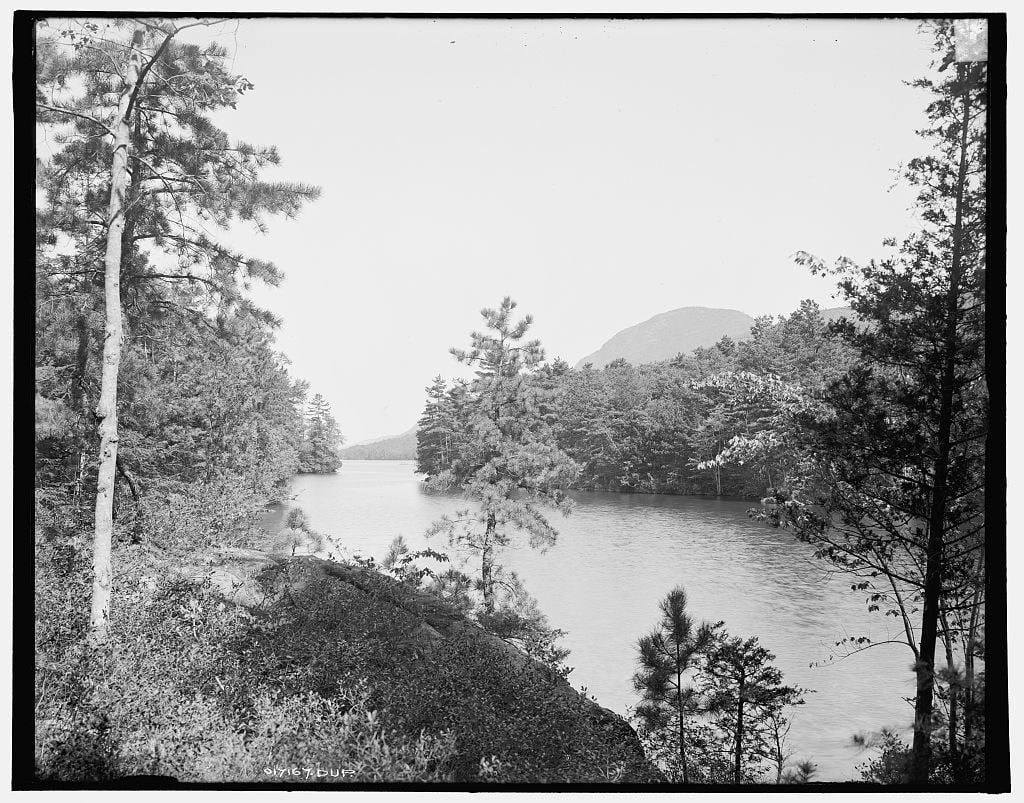
Place · 3.6 mi away
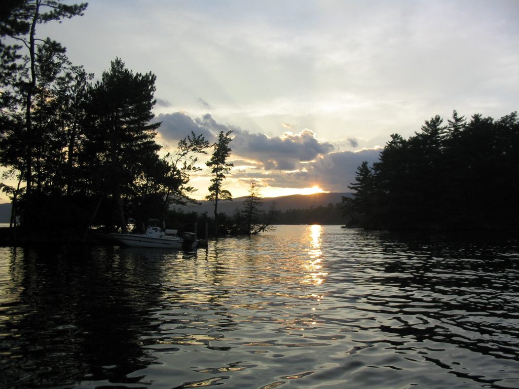
Place · 3.8 mi away
Place · 4.1 mi away
Challenging · 0 mi away

Challenging · 0 mi away
Challenging · 0 mi away
Moderate · 0 mi away

Parkwolf Tour Guide
