Parking
Clay Meadows parking area is along NY 9N north of Bolton Landing and serves both loop directions; walk from the lot to the trail fork.

Lake George NY, NY
A full-day loop from bay shoreline to rugged Lake George ridge views
Overview
Map & elevation
Plan your hike

The highest, rockiest slopes around here are a summer buffet for grizzly bears.
Lake George Tour Guide
Parkwolf is a GPS audio tour guide for Lake George NY. As you drive, it chimes in with what’s ahead: hidden gems, upcoming stops, history, geology, and wildlife, right through your car’s speakers.
See the Lake George audio tourRecorded for this trailhead
Clay Meadows and Tongue Mountain“You're approaching Clay Meadows, the starting point for hikes onto Tongue Mountain.”
Plays as you drive up to this trailhead in the Parkwolf Lake George Tour Guide.
More stories near here in the app
“Fantastic app with many points of information… It’s great to just turn on while you’re driving and it gives you an audio tour of the national Park. We love it!!!!”


Trail guide
The Tongue Mountain Range and Montcalm Point Loop is a demanding, roughly 12.7-mile circuit from Clay Meadows that pairs the wooded Northwest Bay shore with a rocky ridge walk above Lake George. Follow the shore to Montcalm Point, return to the ridge junction, then climb across the Tongue Mountain Range and descend by Five Mile Point Trail to the same lot. The point spur is an out-and-back within the loop.
Published totals do not line up exactly: descriptions of the complete circuit give 12.6–12.7 miles, while its listed shoreline, ridge and return sections add to about 13.4; the connected mapped line measures about 12.1. Plan for a full day and roughly 13 miles, and check the map you carry so you know which short spur is included.
Allow at least eight hours; about nine is a more realistic plan once you include the point and short breaks. The shoreline leg is often called moderate, but that does not describe the whole circuit. The ridge return repeats steep climbs and descents over rough, rocky ground, and the downhills can be hard on tired knees. Sturdy shoes, food, plenty of water, layers and an offline map or GPS matter here. There is no confirmed potable-water or food service along the route.
From the shared Clay Meadows lot, take the Northwest Bay side of the opening fork. The approach climbs during its first mile, then eases; after roughly a mile and a half, the trail reaches the east shore of the bay. From there it rolls between woods and water, with small stream crossings, bridges and occasional openings to the lake. It is a quieter, gentler-feeling stretch than the return ridge, though still a long walk from the road.
Near the point, leave the shoreline route at the ridge-return junction and continue south to Montcalm Point before turning back. The endpoint is a rocky headland at the water, with open views of the lake and surrounding mountains; campsites are nearby. Retrace the short spur to the junction before starting the ridge leg. Keep the same junction in mind on the return so the two routes make a loop rather than an unintended extension.
The return trades shoreline walking for a sequence of rocky humps, steep grades and exposed-feeling descents. The ridge leg alone is described as gaining about 1,390 feet. On the French Point Mountain plateau, the view opens north along Lake George toward the island-filled Narrows. This is the route's defining high-country payoff, but the repeated ups and downs make it a serious undertaking even though the peaks are not especially high.
The Five Mile Point return follows part of an older horse-trail corridor. Stone bridges and retaining walls remain along the route, reminders of a 1930s effort to develop the area for horseback travel. That plan was abandoned after rattlesnakes were encountered during construction. Montcalm Point also recalls the lake's military history: General Montcalm and his forces moved south across Lake George toward Fort William Henry in 1757.
Timber rattlesnakes live on Tongue Mountain, including its sunny rocky ledges. Watch where you place your hands and feet, give any snake room, and never handle or harass wildlife. Dogs are allowed; keep them under control, and leash them at the trailhead and campsites.
Clay Meadows parking area is on NY 9N north of Bolton Landing and serves both sides of the loop. The trail access is a short walk from the lot, with a brief roadside start. No parking capacity, toilets or on-route drinking water were verified, so arrive prepared for a remote-feeling day and do not count on a quick resupply.
Wildlife
 34 sightingsWhite-tailed DeerMost seen around 5 PMSighting map
 26 sightingsTimber RattlesnakeMost seen around 6 PMSighting map
 22 sightingsOspreyMost seen around 7 AMSighting map
 60 sightingsLoonMost seen around 6 AMSighting map
 33 sightingsPorcupineMost seen around 7 PMSighting map
 84 sightingsGreat Blue HeronMost seen around 6 AMSighting map
Sighting maps show where each species has been reported across Lake George. Wildlife moves, so no sighting is guaranteed.
Keep exploring
 ModerateNorthwest Bay Trail10.8 mi · 5.5 hr · At the trailheadA long wooded lakeshore walk to Montcalm Point.
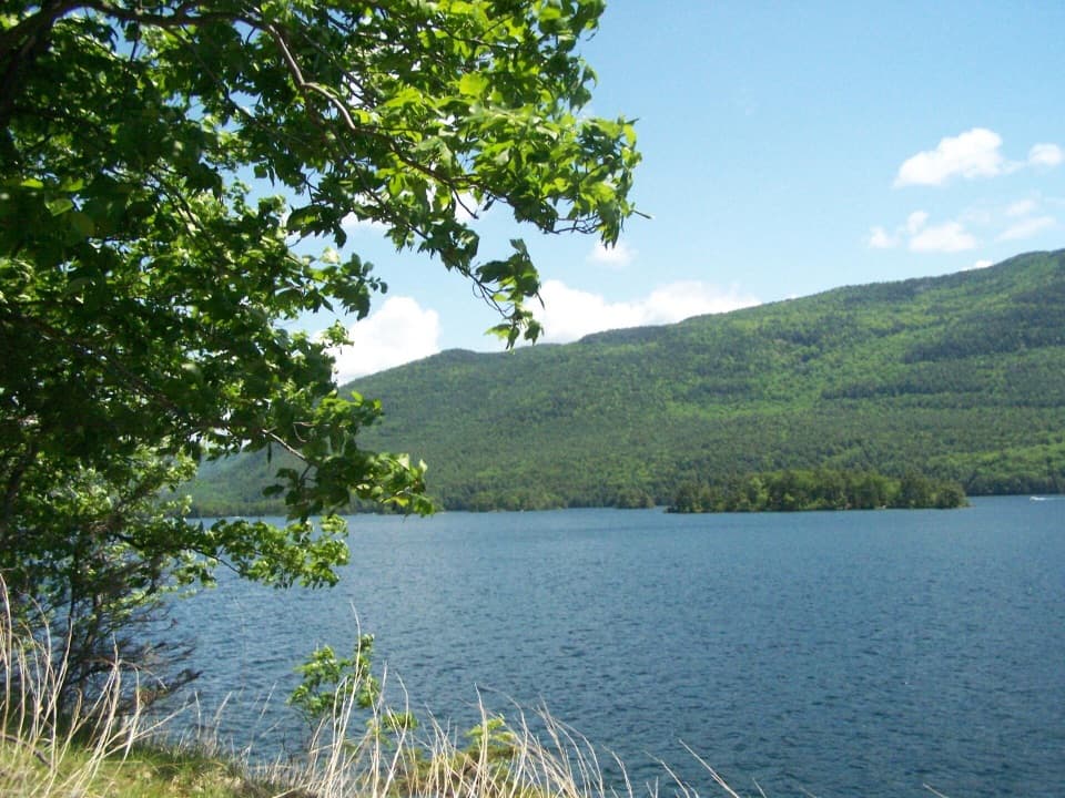 ChallengingFive Mile Point Trail6.2 mi · 5 hr · At the trailheadA steep ridge crossing reaches a lakeshore point.
 ModerateFifth Peak Trail5.6 mi · 5.5 hr · At the trailheadA lean-to and Lake George views reward the Tongue Mountain climb.
 ChallengingPole Hill Pond and Ridge Loop5.8 mi · 3.8 hr · 1.2 mi awayA rocky ridge view and a quiet pond make the climb worthwhile.
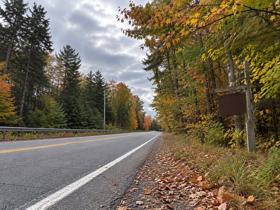 ModerateBear Knob Loop1.4 mi · 1.3 hr · 1.2 mi awayA rugged little ridge loop with seasonal openings through the trees.
 EasyAmy’s Park Blue Trail1.7 mi · 1 hr · 2.3 mi awayAn easy forest walk along a wide old logging road.
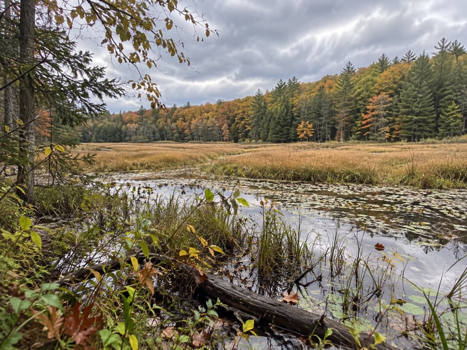 ModerateAmy’s Park Orange Trail1 mi · 45 min · 2.3 mi awayLichen ledges and a compact loop overlook a beaver pond.
 EasyYellow Trail to Beaver-Dam Bridge0.1 mi · 12 min · 2.3 mi awayA very short Yellow Trail branch to the beaver-dam bridge.
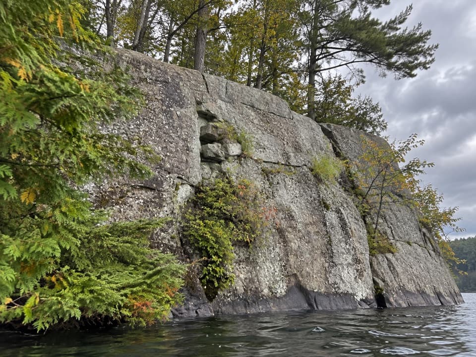 Picnic area · 2.5 mi awayWest Dollar IslandA steep rock face meets the water at this island picnic stop.
 Picnic area · 3 mi awayPicnic IslandA boat-only picnic island with a pavilion beside Lake George.
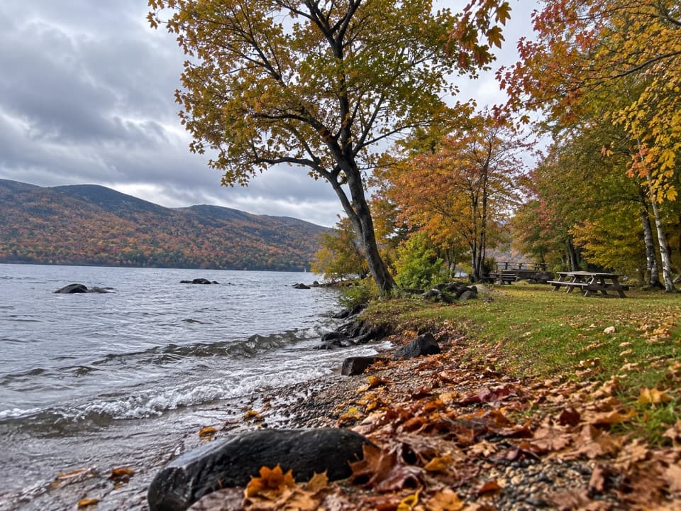 Picnic area · 3.1 mi awayBlack Mountain Point Picnic AreaA picnic stop among the trees on Lake George's east shore.
 Picnic area · 3.5 mi awayHazel IslandA boat-only picnic stop with two reservable docks.
 Picnic area · 3.6 mi awaySarah IslandTwo reservable dock sites make this a useful island picnic stop.
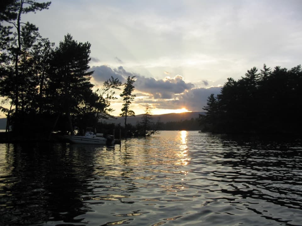 Campground · 3.9 mi awayGlen Island CampgroundEven the mainland campsites are reached only by boat.
 Picnic area · 4.1 mi awayCommission Point Picnic AreaA boat-in picnic stop with lakeside tables on Lake George.
 Visitor center · 4.3 mi awayUp Yonda Farm Environmental Education CenterHands-on nature exhibits pair with a short climb to a lake view.
Parkwolf’s Lake George ranking

The audio tour guide for the drive, plus offline maps, trails, and wildlife heatmaps for when the signal drops.





