
Alerts

Mount Aspiring National Park alerts

Current notices from official park sources.
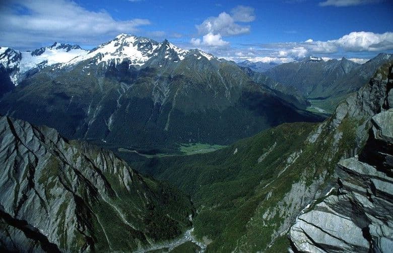
Mount Aspiring National ParkImage credit: Parkwolf

Closure

Rees–Dart Track circuit closed due to slip

Do not plan a through-trip on the Rees–Dart Track circuit: a large slip in Dart Valley between Daleys Flat Hut and Chinamans Bluff has made it impassable, and the Dart Track is closed until at least December 2026. - Alternatives are to walk from Muddy Creek to Dart Hut and return the same way through Rees Valley, go over Cascade Saddle to Dart Hut and out along Rees Valley, or pre-book a helicopter transfer with Heli Glenorchy over the affected section from Top of Dredge Flat to Surveyors Flat. - Do not use Te Korokā (Dart/Slip Stream) Specially Protected Area as an alternative route: public access on the true right of the Dart River from Sandy Bluff through to the area between McBride Burn and the Beans Burn catchment is not permitted; entry is by special permit only, and hunting and unauthorised entry are prohibited. - Do not use the Waterfall Creek bridge between Clarke Slip and Shelter Rock Hut: it is structurally damaged and cannot be used. Heavy rain and high creek flows can make the creek dangerous, and flooding can make other creeks impassable; if a crossing is not safe, stay out and wait for water levels to drop. Check current Rees–Dart Track information before setting out.Official details

Caution

Rob Roy Track: stop at lower lookout in winter

From May through November, end your Rob Roy Track hike at the lower lookout: the section to the upper lookout crosses active avalanche paths. - Avalanches can reach the track even when no snow is visible because valleys can funnel them from snowy slopes high above; continuing beyond the lower lookout puts you directly in the path of potential avalanches. - If you are considering going farther, first check current avalanche and weather conditions with the local DOC Visitor Centre, know how to recognise dangerous avalanche terrain, and carry avalanche rescue equipment—including transceivers, shovels and probes—and know how to use it. - The track ends at the upper lookout, but going beyond it is not recommended because the terrain has steep drop-offs, canyons, unstable ground and fast-flowing water. Check current Rob Roy Track information before setting out.Official details

PARKWOLF TOUR GUIDE

Like a tour guide in your car.

Parkwolf automatically chimes in with upcoming places, tips, hidden gems, history, and wildlife info as you drive through Mount Aspiring.
Download Parkwolf on the App StoreGet Parkwolf on Google Play
The Parkwolf tour guide sitting on a phone mounted in a car

