
Alerts

Redwood National Park alerts

Current notices from official park sources.
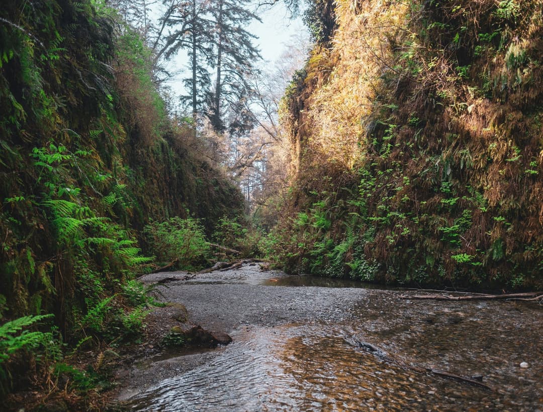
Redwood National ParkImage credit: Parkwolf

Closure

Miners Ridge and Dolason Prairie trail restrictions

Plan alternate routes on Miners Ridge and Dolason Prairie trails. - Miners Ridge Trail is open only to just past Clintonia Trail, where a large downed tree blocks the route; visitors cannot continue to Gold Bluffs Beach from Miners Ridge. The James Irvine Trail is the best alternative. - Dolason Prairie Trail is open only for its first 4.5 miles and is closed at Emerald Creek Bridge because of bridge failure. Emerald Ridge Trail can be accessed only from Redwood Creek Trail or Tall Trees Trail. Check current park conditions before setting out.Official details

Closure

Boy Scout Tree, Alder Basin, and James Irvine trail restrictions

Plan around active restrictions on three trails. - Boy Scout Tree Trail is partially open; a fallen tree blocks the trail 1.75 miles from the trailhead. Climbing over it is possible but challenging. - Alder Basin Trail is closed for Redwoods Rising restoration work. - On James Irvine Trail, the easternmost stairs connecting Fern Canyon to the trail are closed because of construction; the western stairs remain open for access to Fern Canyon Loop. A smaller, passable tree is down about 1.25 miles before Fern Canyon at 41.39293, -124.05182. Check current park conditions before setting out.Official details

Caution

Bald Hills Road paving delays

Expect 20–30 minute delays in both directions on Bald Hills Road between Lady Bird Johnson Grove and Redwood Creek Overlook while a paving project is underway; the park also warns of road damage. Access to the Lady Bird Johnson Grove parking lot is not affected. - Drive slowly and be alert for road damage. - Watch for cars crossing lanes to avoid hazards. Check current conditions before traveling.Official details

Caution

U.S. 199 controlled traffic and delays

Expect one-way controlled traffic and delays on U.S. Highway 199. - From 6 miles north of Gasquet to 6.2 miles north of Gasquet, one-way control operates 24 hours a day, 7 days a week through 6:00 p.m. October 15, 2026; motorists may face delays of up to 10 minutes. - At 4.1 miles south of Idlewild, south of the Middle Fork Smith River Bridge, one-way control operates 24 hours a day, 7 days a week through 6:00 p.m. September 22, 2026; motorists may face delays of up to 10 minutes. For the latest conditions, check Caltrans road information before traveling.Official details

Caution

Highway 101 one-way controls and delays

Expect one-way controlled traffic and delays on U.S. Highway 101 because of construction. - From 12.3 miles south of the Humboldt/Del Norte County line at Prairie Creek Fish Hatchery to 11.2 miles south of that county line, one-way control operates 24 hours a day, 7 days a week through 5:00 p.m. October 2, 2026. - From 10.2 to 9.6 miles south of Crescent City, one-way control operates 24 hours a day, 7 days a week through 6:00 p.m. September 18, 2026. - An additional one-way control operates 0.25 mile north of Richardson Grove State Park 24 hours a day, 7 days a week through 5:00 p.m. October 30, 2026. - Allow extra time, stay alert, and drive cautiously. For the latest conditions, check Caltrans road information before traveling.Official details

Closure

Damnation Creek, Mill Creek, and 44 Creek restrictions

Plan around three active access restrictions. - Damnation Creek Trailhead (DN 16.047) is closed until further notice because Caltrans is conducting a safety project involving construction along U.S. Highway 101. - Mill Creek Day Use Area is partially closed on weekdays and open to the public on weekends for day use; the gate is locked each evening. A section of the multi-use trail along West Branch Road west of Rock Creek Road is temporarily closed because of a failed bridge crossing. - 44 Creek Bridge is closed because damage was identified by a Federal Highway inspection team. It is north of 44 Camp, approximately 7 miles south of the Redwood Creek Trailhead and about 1 mile north of the Tall Trees river crossing. Do not cross the ravine: it is dangerous and not advised. Take an alternative route to 44 Camp, adding at least 3.5 miles from Redwood Creek Trailhead; all trails in the area remain open. Check current park conditions before setting out.Official details

PARKWOLF TOUR GUIDE

Like a tour guide in your car.

Parkwolf automatically chimes in with upcoming places, tips, hidden gems, history, and wildlife info as you drive through Redwood.
Download Parkwolf on the App StoreGet Parkwolf on Google Play
The Parkwolf tour guide sitting on a phone mounted in a car

