
Place · 0.4 mi away
Challenging
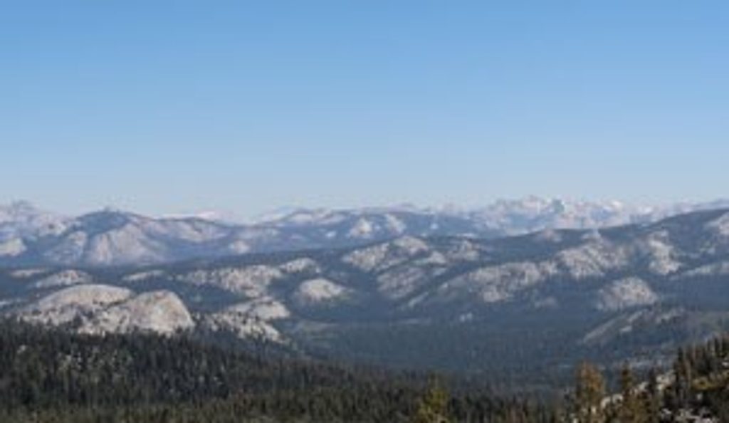
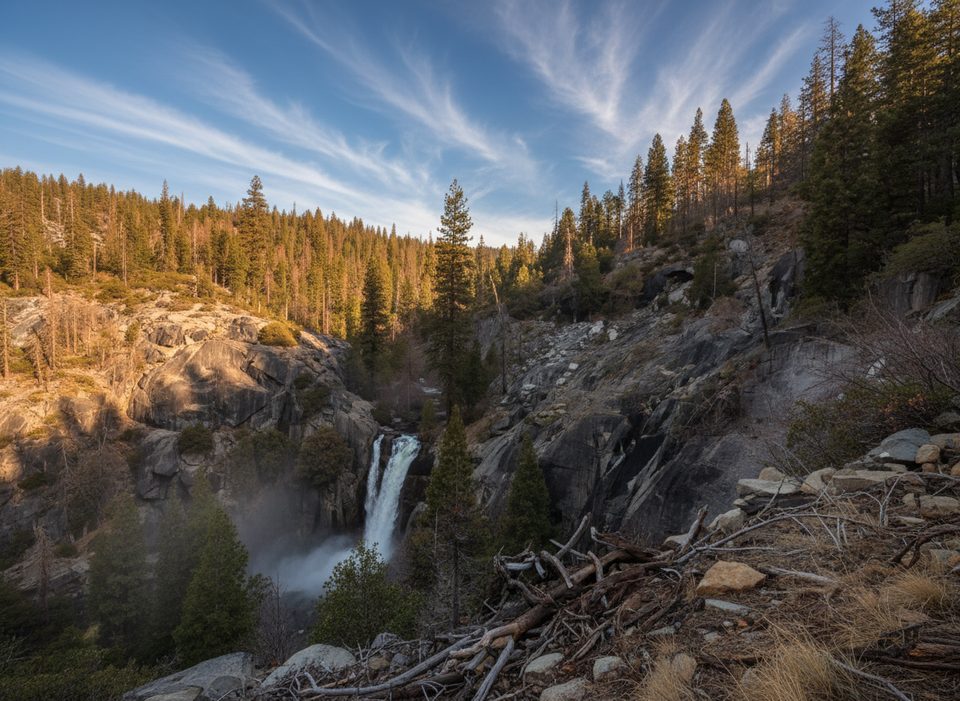
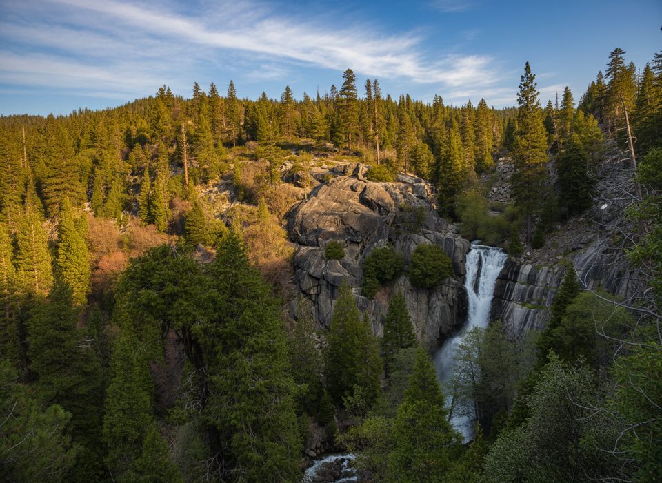
This is Yosemite’s southern high-country classic: a strenuous multi-day loop that leaves from the Chilnualna Falls Trailhead in Wawona, climbs past thundering cascades and forested benches, then roams granite, meadows, and lakes en route to big views near Buena Vista Pass. The full loop is about 26.4 miles total with roughly 5,935 feet of cumulative gain. Strong hikers can theoretically day-push it (around 13–14 hours of moving time), but most make it a 2–4 day backpack to actually enjoy the lakes and sunsets.
Expect a greatest-hits sampler of south Yosemite: Chilnualna Falls early, then long forest stretches that open to meadows, polished granite, and quiet lakes. Views expand near Buena Vista Pass, and camps near the larger lakes are breezy and scenic. Midseason, some stretches feel monotonous in the timber—but the big vistas and swimmable lakes repay the grind.
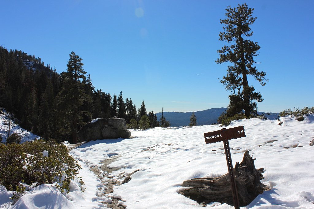
This is strenuous due to distance, elevation, and sections of rough tread. Early season can bring flooded meadows, lingering snow, downed trees, and cold, thigh-deep creek crossings—trekking poles and water shoes help. Mid-to-late season often means heavy mosquitoes around boggy meadows and smaller lakes; many campers choose breezier granite or larger lakes to dodge the worst of it. Stock use can churn muddy sections near meadows—treat water carefully and avoid camping under dead snags.
Overnight trips require a Yosemite wilderness permit. Bear-resistant food storage is required; most backpackers carry a canister. Backpackers Campgrounds are available the night before departure or after you exit. Pets are not allowed on Yosemite trails or in wilderness. This loop starts at the Chilnualna Falls Trailhead in Wawona.
Plan for late June through September in an average snow year. Early season offers roaring falls and greener meadows but expect tricky crossings and possible snow navigation. By mid/late summer you’ll get dry trails, warmer swims, and better stargazing—balanced by intense mosquitoes after storms and in windless basins. Start days early for cooler temps and calmer water if you’re crossing creeks. Golden-hour light near the pass and lakes is superb for photography.
Park at the Chilnualna Falls Trailhead in Wawona.
Early season brings flooded meadows, downed trees, and cold, thigh-deep creek crossings; midseason mosquitoes can be intense. Treat all water, avoid camping under dead trees, and carry required bear-resistant food storage.
Place · 0.4 mi away
Place · 0.5 mi away
Place · 0.6 mi away
Place · 1.1 mi away
Challenging · 0 mi away
Easy · 0.2 mi away
Challenging · 1.1 mi away
Easy · 1.6 mi away

Parkwolf Tour Guide
