38 trails,
honestly rated
Distance, climb, time and difficulty for every hike, with parking and cautions.
- Rockwall Trail33.616 mi · 96 h
- Floe Lake13.42 mi · 8 h
- Stanley Glacier5.47 mi · 3.5 h
- Marble Canyon1.118 mi · 0.6 h
 Parkwolf
4.7
8.6K ratings
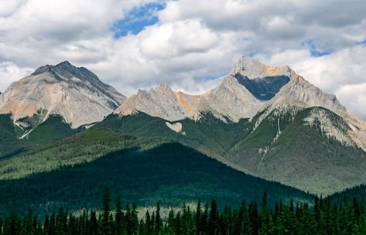
Self-guided GPS audio tour
A self-guided driving tour: stories and insider tips play on their own as each stop comes into view.
★★★★★ 4.7 · 8,600+ ratings Works offline

On your computer? Scan with your iPhone camera to open Parkwolf in the App Store. Also on Google Play.
Hear the guide
This is the real narration from Parkwolf’s Kootenay tour. It starts on its own as you approach each stop, so you never tap or read while driving.
“You're approaching Radium Hot Springs, where you can swap the car seat for a warm mineral pool in Sinclair Canyon.”
Real stops, real narration
Three real lines from the narration, each with the app’s tip for that stop, at three of the most-loved stops in Kootenay.

“Marble Canyon is coming up, and I'd stop here for dramatic canyon views without a long hike. Seven bridges cross the narrow limestone gorge carved by Tokumm Creek, with blue-green water far below.”
Heads up The small roadside lot can fill at busy times.

“Up ahead is the Paint Pots trailhead, for a gentle walk to three springs whose iron-rich water stains the earth orange.”
Heads up Wet sections can be muddy, and the colour is sometimes subdued.
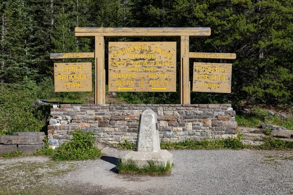
“The Continental Divide day-use area is ahead at Vermilion Pass, where the Pacific and Atlantic watersheds part. The wooden sign and concrete marker give you a simple way to picture that split.”
Heads up The marker lettering has faded and can be hard to read.
+ 48 more stories across Kootenay: Dog Lake, Cobb Lake, Sinclair Canyon, Stanley Glacier, Helmet Falls and more.
Self-guided, in your own car
Parkwolf
Beyond the audio tour
Distance, climb, time and difficulty for every hike, with parking and cautions.
Marble Canyon, as the app sums it up:
Sighting heatmaps and peak hours for each animal.
 Bighorn Sheep
 Black Bear
 Bald Eagle
 Mountain Goat
Start the tour from your car’s screen. Stories play through your speakers.
Viewpoints, trailheads, pullouts and hidden spots, each with real tips.
From the App Store
“We just used the app this morning on our drive around Cades Cove and it provided a lot of info along the way and greatly enhanced our experience! And to top it off, we saw a female black bear and her two cubs just before the halfway point!”
“Great app , works offline and audio tour while driving its amazing.”
“Loved it after I figured out how to use the app, the information was very interesting and the automatic play as you drive was very convenient. The map came in handy too when we lost connection on our GPS. Thank you!”
“We loved the fun facts and found spots we wouldn’t have otherwise. It’s awesome that it works offline too.”
Good to know
Open Parkwolf, tap Start Tour Guide and drive. Your phone’s GPS triggers each story as you approach an overlook, trailhead, pullout or hidden spot. There’s no set route, so take any road in any order.
Yes. Every stop has the app’s tips on timing, parking and crowds, and every trail lists its distance, climb and time, so you can plan your day before you go. Then the guide narrates it as you drive.
Yes. Download Kootenay before you go and the map, the narration and every tip work offline, even where your phone shows no bars.
Overlooks, trailheads, pullouts and hidden spots across Kootenay National Park, from Marble Canyon, Paint Pots and Continental Divide: 51 stories in all.
Parkwolf is free to download. The Tour Guide is part of Parkwolf PRO, which starts with a free trial, and one subscription covers everyone listening in your car.
Both. Parkwolf works with Apple CarPlay, and it’s available on Google Play for Android.
Yes. The same guide covers 100+ national parks, state parks and scenic drives, from Yellowstone to the Blue Ridge Parkway.
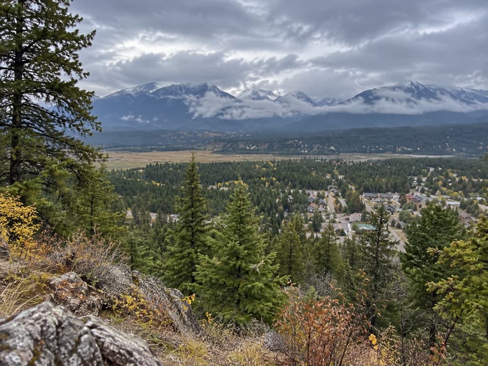
Free to download. Your guide starts talking the moment you start driving.
Free on the App StoreGet the Kootenay tourOn Android? Get Parkwolf on Google Play