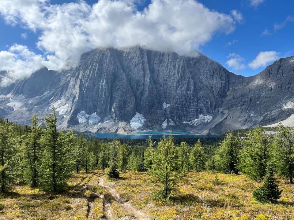
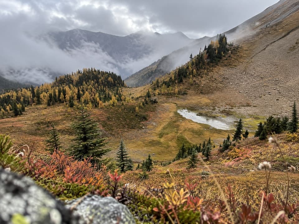
Parkwolf Tour GuideThe highest, rockiest slopes around here are a summer buffet for grizzly bears.
Kootenay Tour Guide
Kootenay, narrated.
Parkwolf is a GPS audio tour guide for Kootenay National Park. As you drive, it chimes in with what’s ahead: hidden gems, upcoming stops, history, geology, and wildlife, right through your car’s speakers.
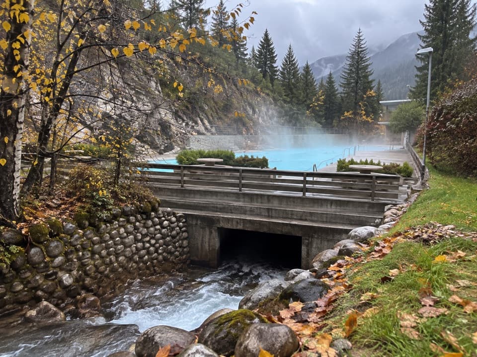
“You're approaching Radium Hot Springs, where you can swap the car seat for a warm mineral pool in Sinclair Canyon.”
Plays as you drive up to Radium Hot Springs in the Parkwolf Kootenay Tour Guide.
More stories near here in the app
Sinclair Canyon: Through the Red Cliffs
Redstreak Campground: A Base Above Radium
Who Moves Into a Woodpecker Hole?
Redstreak Road Lookout: Radium and the Valley
49 audio storiesacross Kootenay’s roads, triggered by GPS as you drive
Wildlife heatmapsfor Grizzly Bear, Gray Wolf, Moose, and 13 more
Works offlinemaps, 38 trails, 29 places, and audio download before you lose signal
CarPlay readysimple controls built for the drive
★★★★★
“Fantastic app with many points of information… It’s great to just turn on while you’re driving and it gives you an audio tour of the national Park. We love it!!!!”
ClosureWatercraft and angling prohibitedWatercraft and angling are prohibited on every waterbody in Kootenay National Park until March 31, 2027, to reduce the spread of aquatic invasive species (AIS), including whirling disease.Official details
ClosureSinclair Canyon construction closures and delaysRepairs to the Sinclair Creek Rock Tunnel and rehabilitation of the retaining wall at Sinclair Canyon require construction closures; expect alternating single-lane traffic on Highway 93S and…Official details