Pros & cons
PROS
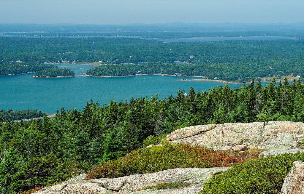
- Sweeping 360-degree views across islands, bays, and nearby peaks
- Quieter summit with loop options, including a ridge link to Penobscot
- Sargent Mountain Pond near the top, touted as Maine’s oldest lake
CONS
- Steep, rocky approaches with no road access
- No amenities at the summit
- Many trail junctions; navigation can be confusing without a map
Overview
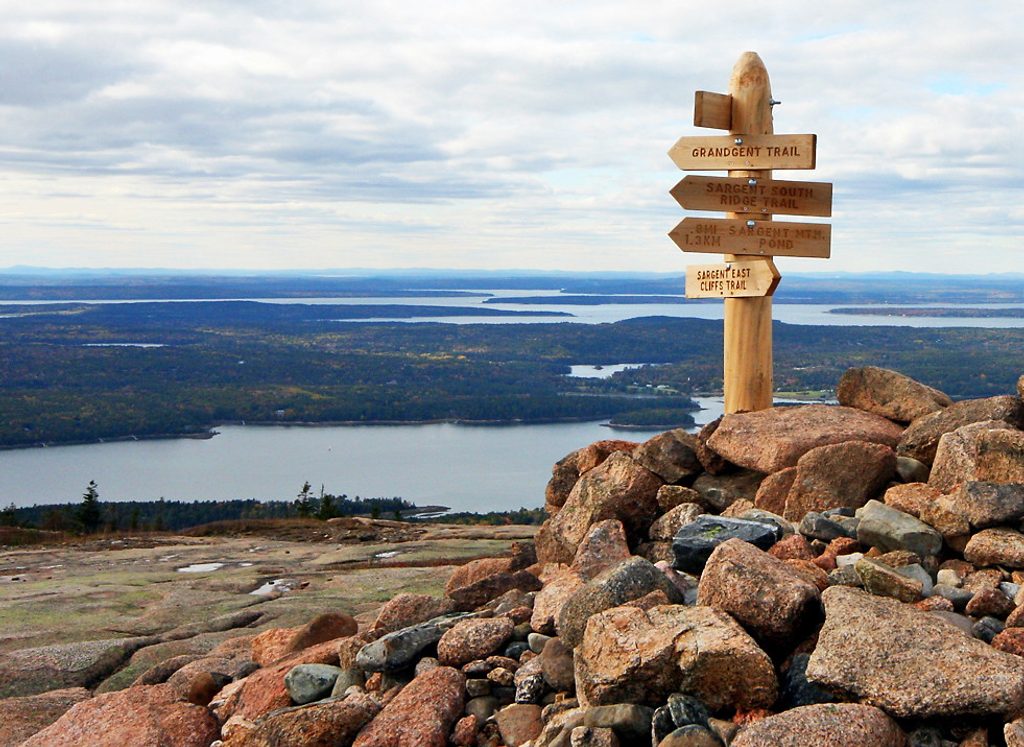
Sargent is Acadia’s second-highest summit (1,362 ft) and the connoisseur’s pick when Cadillac feels too busy. It’s all earned—no road, no summit facilities—just open granite, crisp air, and big ocean-to-mountain panoramas.
Why it’s special
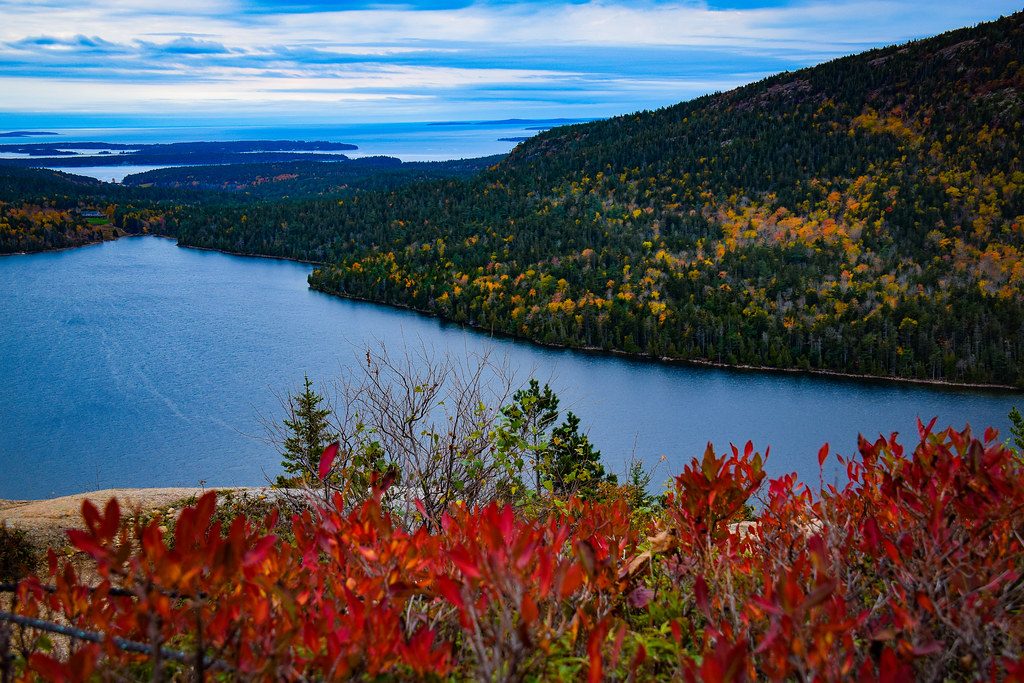
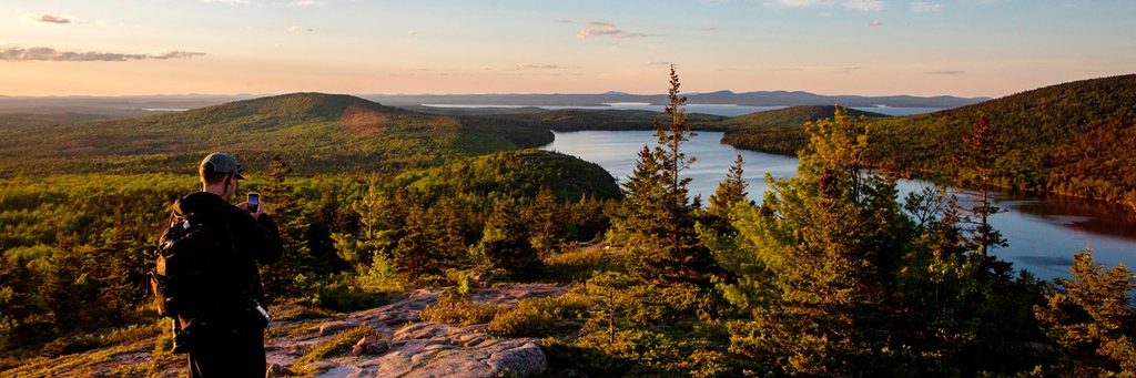
From the bald top you get wraparound views: Somes Sound, the Cranberry Isles, Western Mountain, Pemetic and Cadillac, the Porcupine Islands and Frenchman Bay on clear days. It’s also a fantastic link-up peak—Penobscot Mountain is about a mile away via the ridge, making a rewarding two‑summit day.
Routes and access
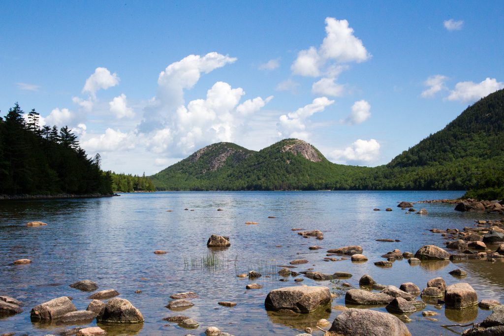
There are many ways up. Popular approaches include the South Ridge (a scenic “rocky spine” with moderate traffic), the East Cliffs, and routes from the Jordan Pond side. Parking options noted by guides include Brown Mountain/Parkman area or a lot on Highway 3 just north of Upper Hadlock Pond (roughly 2.5 miles to the summit). The Jordan Pond House is another common start, and it’s served by the Island Explorer bus; restrooms are available there.
Sargent Mountain Pond
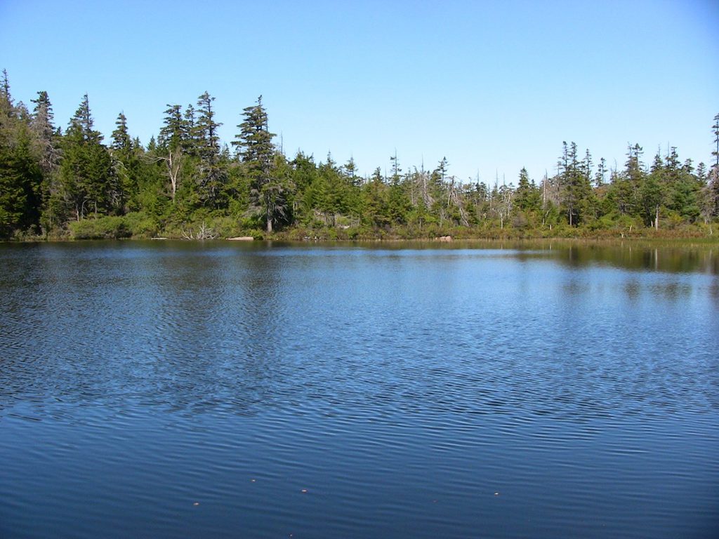
Near the summit sits Sargent Mountain Pond—often called the oldest lake in Maine. It’s naturally fishless and notably acidic, which makes it ecologically distinct. Hikers sometimes cool off here; keep it low‑impact and treat the shore gently.
What you’ll see on the way
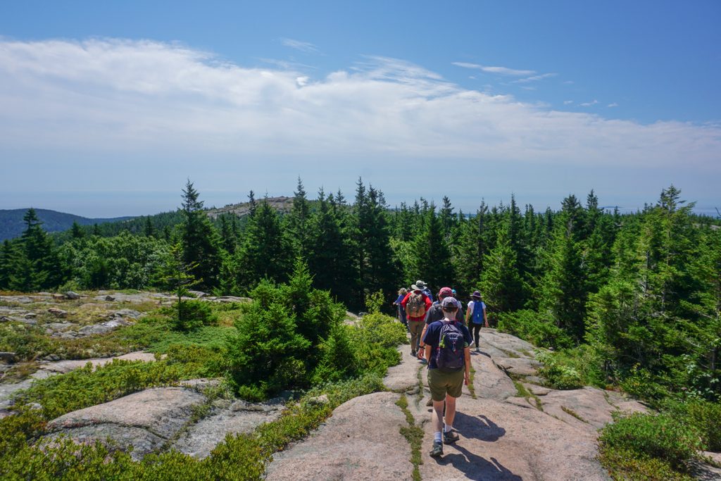
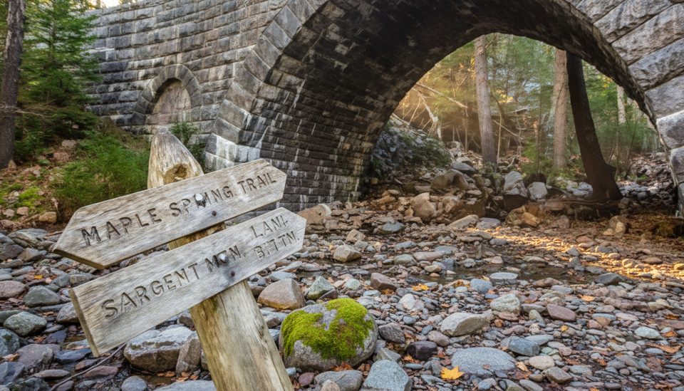
Expect mixed hardwood forest, spruce–fir, brooks that run in wetter seasons, carriage-road stone bridges, and then miles of open granite as you climb. The summit is fully exposed, which means great views and great wind—pack layers even on fair days.
Difficulty and preparation
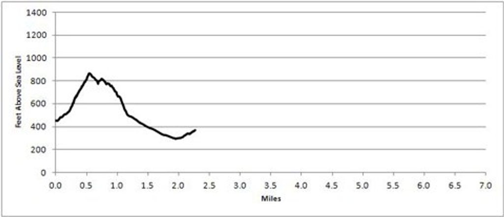
Most routes are 4+ miles round trip and include steep, rocky sections that get slick when wet. This is not a quick stroll: bring solid footwear, plenty of water, snacks, sun protection, and a real map. The trail network around Sargent has many junctions—plan your loop before you go.
Best time to visit
- Mornings beat the heat and any midday bump in traffic.
- Weekdays are quieter than weekends, especially in peak season.
- For photos, early and late light flatters the granite and seascapes; sunset is gorgeous, but bring headlamps for the descent.
- If Jordan Pond parking is full, start from Parkman/Brown Mountain or use the Island Explorer bus.
Where it is
44.3426, -68.2728Tips for Sargent Mountain
- 01Carry a detailed map; the web of intersecting trails can be confusing.
- 02Start early—most routes are 4+ miles and the summit is fully exposed.
- 03From the summit, link Penobscot Mountain via the ridge for a stellar two-peak loop.
- 04If Jordan Pond parking is full, try Parkman/Brown Mountain or take the Island Explorer bus.
- 05Pack layers, sun protection, and plenty of water; it’s windy and shadeless up top.
Amenities
Near Sargent Mountain
All places →All trails →
0.6 mi awaySargent Mountain PondRemote alpine tarn and swim stop between Sargent and Penobscot
0.7 mi awayParkman MountainQuieter summit with big granite views and easy loop optionsTrailhead · Parking
0.7 mi awayPenobscot MountainBig views over Jordan Pond from a quieter granite ridgeScenic Viewpoint
0.8 mi awayNorth BubbleQuick climb to big Jordan Pond and Eagle Lake panoramasTrailhead · Parking
1.1 mi awayBubble Rock TrailShort climb to Acadia’s famous perched boulder and big pond viewsEasy · 1.5 mi · 1.5 hr
1.1 mi awayNorth Bubble TrailShort, ledgy climb to big views over Jordan Pond and Eagle LakeModerate · 1.5 mi · 1 hr
1.1 mi awayConners Nubble TrailQuiet granite summit with big Eagle Lake views and flexible loopsModerate · 4.1 mi · 2.5 hr
1.3 mi awayMaple Spring TrailStream-cut gorge to big Sargent views and handsome stoneworkChallenging · 1.2 mi · 1.5 hr