
Place
Moderate

If you like your Acadia hikes quiet, woodsy, and a little old-school, Amphitheatre Trail is your lane. It meanders through deep forest along Little Harbor Brook, climbs to open ledges near Birch Spring, and then ducks beneath the showpiece Amphitheater Bridge—one of the loveliest pink-granite carriage-road bridges in the park. Views are limited, but the mood is classic “wild interior” Acadia: moss, granite, and the sound of water.
The trail runs roughly 2.1 miles one way (about 4.2 miles total as an out-and-back), with roughly 500–650 feet of gain. It parallels Little Harbor Brook from the south, climbs through rugged woodland to open ledges near Birch Spring, intersects the Sargent Mountain South Ridge Trail, and continues toward the Hadlock Brook Trail. Many hikers fold it into a bigger loop (commonly 4.5–5 miles total) by combining nearby carriage roads and neighboring trails like Sargent South Ridge or Penobscot for a more varied day.
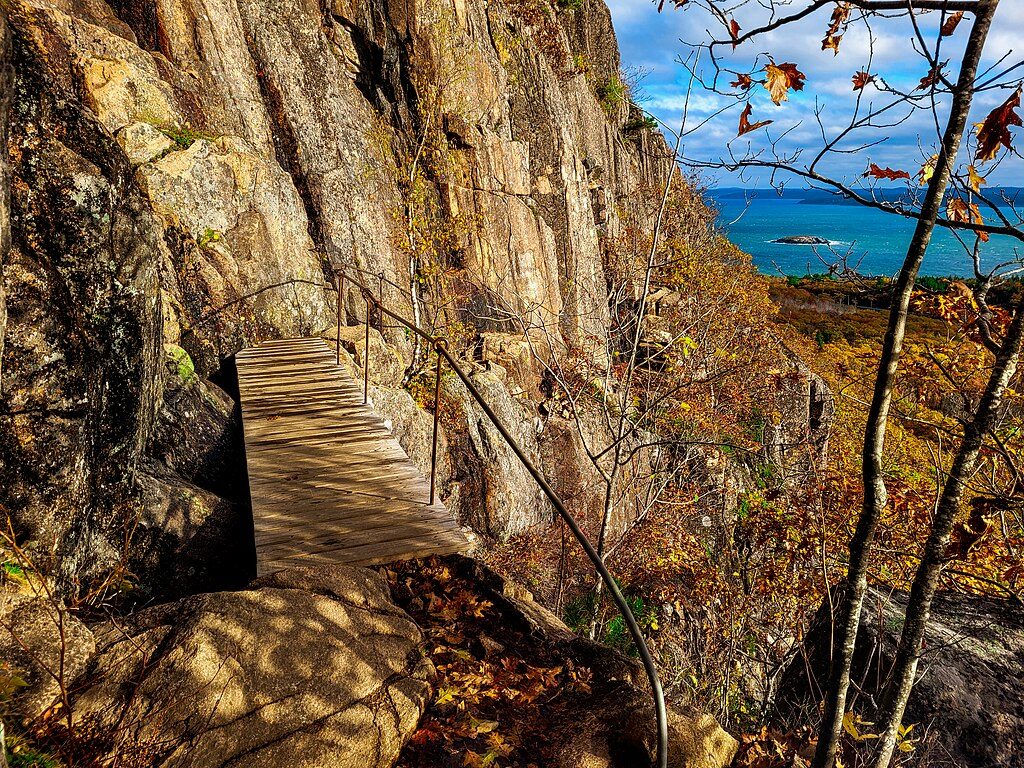
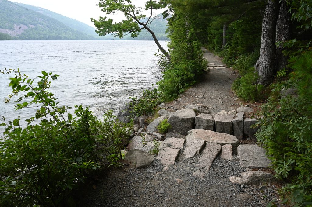
Expect a true footpath: uneven dirt, rocks, roots, and some unconstructed stretches. There are hand-laid stepstones in spots (especially near the brook), and short open ledges by Birch Spring for a quick peek beyond the trees. The signature moment is walking under the Amphitheater Bridge to admire its 1931 stonework up close. Solitude is the norm compared to Acadia’s summits.
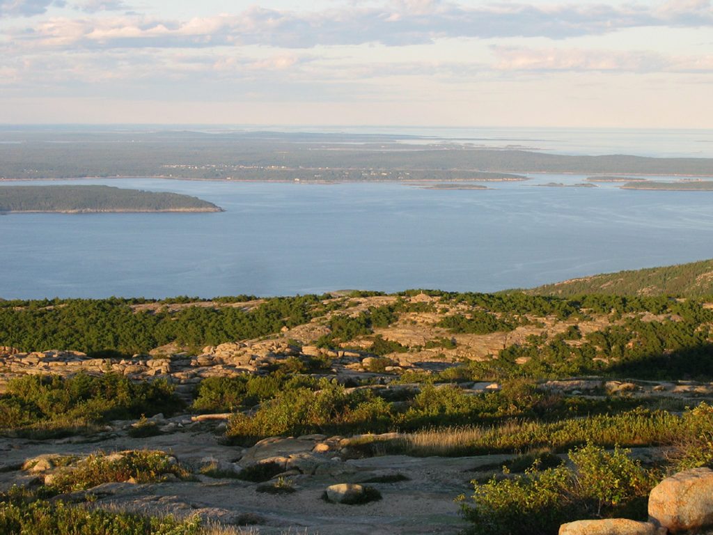
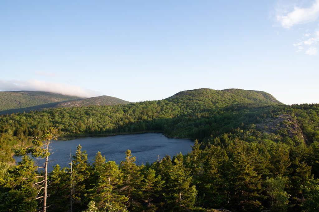
You’ll walk across classic Acadia granite with glacially shaped terrain in a valley cradled by Penobscot Mountain to the east and Cedar Swamp/Sargent to the west—hence the “amphitheatre” feel. It’s more about texture than panoramas: mossy forest, brook sounds, and old craftsmanship along the carriage-road corridor.
Late spring through fall is prime. It’s especially nice at the tail end of mud season into early summer, and throughout autumn. After rain, expect slick rock and trickier stepstone crossings. In winter this can be snowy or icy with tougher navigation—best for experienced hikers.
Access the trail via the carriage road network near the Amphitheater Bridge/Jordan Pond interior. The southern end starts by the Little Harbor Brook carriage road bridge; use a detailed map to choose your carriage road access and walk in to the trailhead.
Rugged, sometimes unconstructed footing with slick rock and roots; stepstone brook crossings can be challenging after rain. In winter expect snow/ice and tougher navigation. Cell service is inconsistent—carry a detailed map.
Place
Place

Place
Place
Challenging

Challenging
Easy

Challenging

Parkwolf Tour Guide
