Parking
Start at the Precipice parking lot on the one-way section of Park Loop Road, about 1.5 miles past Sieur de Monts Spring. No public transportation reaches this trailhead.

#2 of 142 trails in Acadia
Acadia National Park, ME
Iron rungs up an open cliff face, with Frenchman Bay below.
Overview
The Precipice Trail climbs Champlain Mountain’s east face on iron rungs, ladders and narrow granite ledges, then returns by the North Ridge and Orange and Black paths. The closed line saved here measures about 2.1 miles round trip and usually takes two to three hours. Published loop totals differ, from 2.6 to 3.2 miles, so check the route directions before you start and leave time for the longer version. This is a short hike with a serious climb, best for steady hikers who are comfortable with exposure and scrambling. The park does not recommend it for small children or anyone afraid of heights.
 Parkwolf’s verdictIs this the hike for you?
Map & elevation
Plan your hike

The highest, rockiest slopes around here are a summer buffet for grizzly bears.
Acadia Tour Guide
Parkwolf is a GPS audio tour guide for Acadia National Park. As you drive, it chimes in with what’s ahead: hidden gems, upcoming stops, history, geology, and wildlife, right through your car’s speakers.
See the Acadia audio tourRecorded for this trailhead
Precipice Trail’s Cliff Climb“Up ahead is the Precipice trailhead, where iron rungs and ladders lead up Champlain Mountain to views over Frenchman Bay. Allow two to three hours for a strenuous loop with narrow ledges and steep drops.”
Plays as you drive up to this trailhead in the Parkwolf Acadia Tour Guide.
More stories near here in the app
“…As we drove through Acadia it gave us a tour, which was really cool. Lots of great info about the parks and how to avoid the crowds. It’s a great travel companion!”


Trail guide
The approach begins on rugged slope and boulders, then follows narrow ledges beside a wooden bridge and occasional iron handrail. At the Orange and Black junction, take the left branch for the Precipice. The path then winds up the open cliff face, using long iron rungs and ladders to cross its steepest sections. There are more granite slopes above the last climbing aids before the summit. It is a nontechnical hike, but you’ll need both hands in places. Poles can get in the way here, and wet granite makes the ledges and footholds much less forgiving.
The park advises against descending the Precipice. From the summit, follow Champlain North Ridge over open granite; after about 0.6 mile, turn right onto Orange and Black. That return is easier than facing the iron ladders on the way down, but it still has steep stretches and granite steps. Near the lower staircase, the path splits: the right branch crosses the steep east face and reconnects with the Precipice, while the left branch is the easier way to Park Loop Road. Turn right on the road and walk back to the parking lot, watching for traffic. The route line here follows that road return.
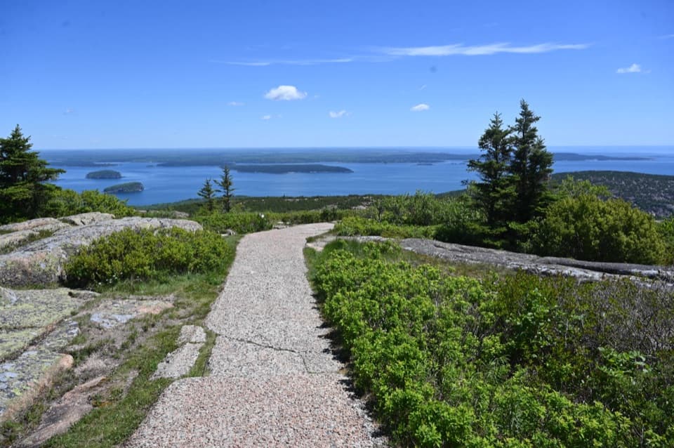
Champlain’s summit is open granite with Frenchman Bay and the outlying islands spread below. From the ledges, look back along the cliff and include a little of the granite or ironwork in the foreground; it gives the bay view a sense of scale. If you want a similar iron-assisted climb with less time on the cliff, the Beehive is a nearby, shorter comparison. The Precipice is more exposed and less forgiving.
These cliffs are peregrine falcon nesting habitat. Acadia’s recovery effort released 22 young falcons at Jordan Cliffs in the 1980s; a returning male called Ganesh paired in 1991, producing the park’s first successful nest since 1956. The Precipice and nearby climbing trails close during courtship and nesting in spring and early summer to keep hikers away from the birds. Check the current closure notice before setting out, since the exact dates can change.
Begin at the Precipice parking lot on the one-way section of Park Loop Road, about 1.5 miles past Sieur de Monts Spring. There is no public transportation to this trailhead. A park entrance pass is required year-round, and pets are not allowed on the route. The final road walk returns you to the same lot, so there’s no need to arrange a shuttle.
Wildlife
 131 sightingsBald EagleMost seen around noonSighting map
 21 sightingsPeregrine FalconMost seen around 10 AMSighting map
 403 sightingsWhite-tailed DeerMost seen around 7 PMSighting map
 307 sightingsPorcupineMost seen around 7 PMSighting map
 205 sightingsBeaverMost seen around 7 PMSighting map
 34 sightingsMinkMost seen around 7 PMSighting map
Sighting maps show where each species has been reported across Acadia. Wildlife moves, so no sighting is guaranteed.
Keep exploring
 ModerateOrange & Black Path0.8 mi · 45 min · 0.5 mi awayA historic stone path crosses Champlain’s rugged east face.
 ModerateCanon Brook Trail2 mi · 1.5 hr · 0.7 mi awayA brook threads granite on this steep, two-mile one-way connector.
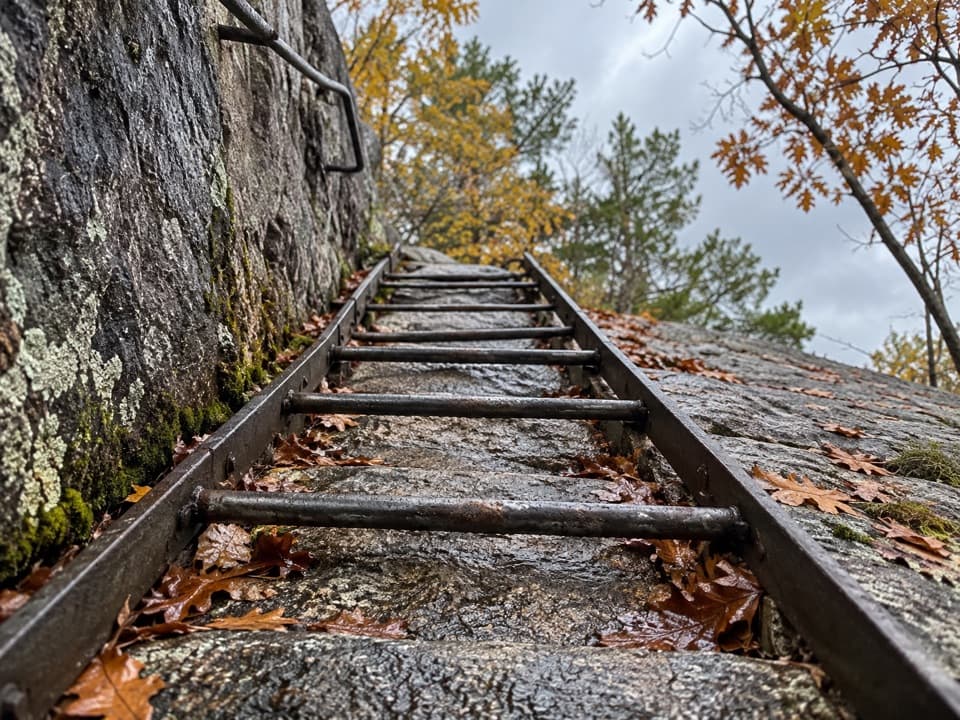 ChallengingLadder Trail0.4 mi · 45 min · 0.8 mi awayA short climb with ladders straight up Dorr's east face.
 ChallengingChamplain North Ridge Trail2 mi · 1.8 hr · 1 mi awayA short, steep climb to Champlain’s open ledges and island views.
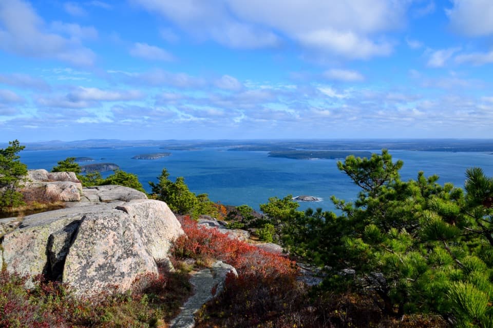 ModerateChamplain South Ridge Trail1.6 mi · 3 hr · 1 mi awayA granite ridge climbs from The Bowl to broad coastal views.
 ChallengingBeachcroft Path2 mi · 2.5 hr · 1.1 mi awayA historic stone stairway climbs to Champlain’s open granite summit.
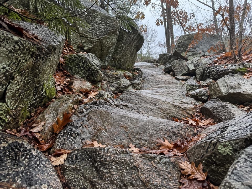 ChallengingKurt Diederichs Climb0.8 mi · 54 min · 1.1 mi awayA steep memorial stairway with a carved name and Tarn views.
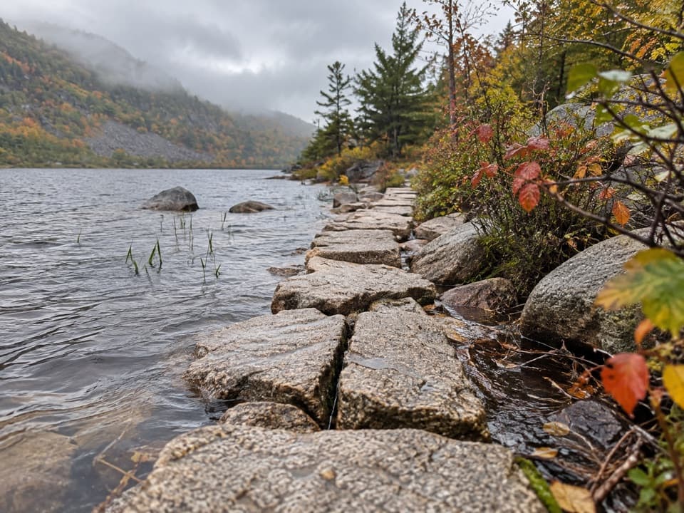 EasyKane Path0.9 mi · 30 min · 1.1 mi awayA short stone path skims the Tarn, then slips into the woods.
 Entrance station · 0.8 mi awayPark Loop Road Entrance StationA year-round staffed stop for passes, maps, and park basics.
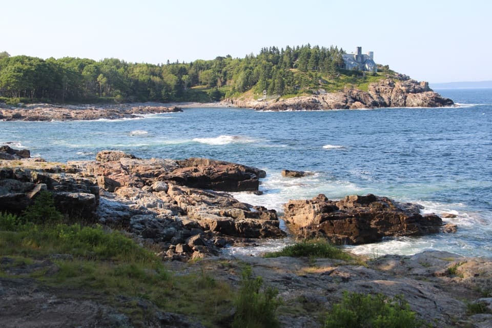 Scenic pullout · 0.9 mi awaySchooner Head OverlookA quick coastal stop facing a wooded headland and open water.
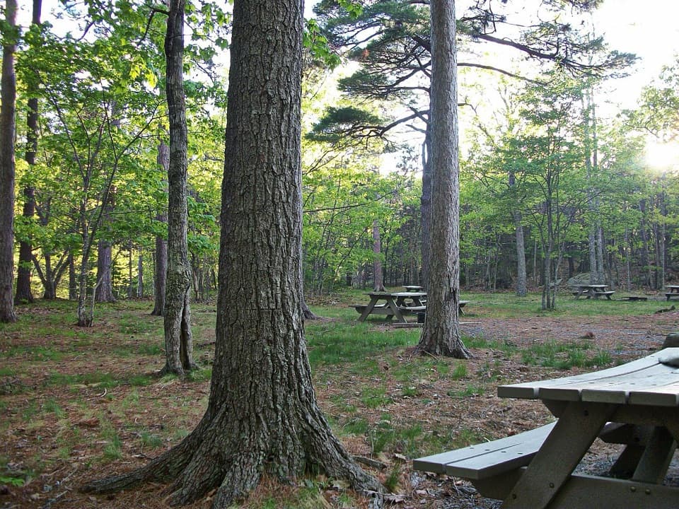 Picnic area · 0.9 mi awayBear Brook Picnic AreaA wooded lunch stop with grill-ready pits and accessible toilets.
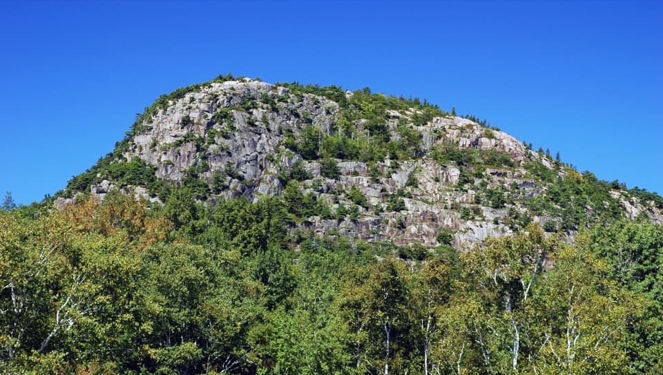 Sight · 1.1 mi awayThe BeehiveA sharp granite summit with a rewarding, exposed coastal view.
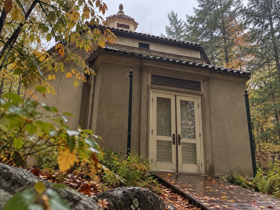 Sight · 1.3 mi awayAbbe Museum at Sieur de Monts SpringThe Abbe’s original 1928 museum, tucked into the Sieur de Monts woods.
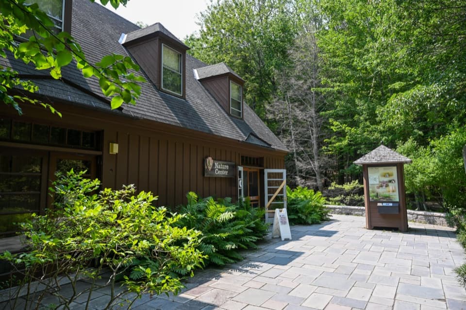 Visitor center · 1.3 mi awaySieur de Monts Nature CenterA smart first stop for Acadia’s trail choices and natural history.
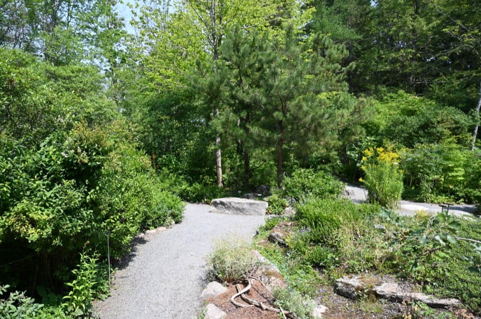 Sight · 1.3 mi awayWild Gardens of AcadiaA compact, labeled tour through native plant habitats.
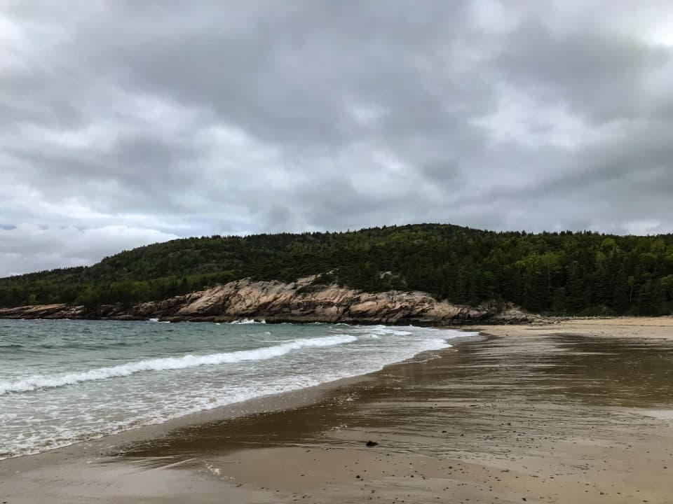 Beach · 1.4 mi awaySand BeachRare shell-rich sand under granite headlands.
Parkwolf’s Acadia ranking
The audio tour guide for the drive, plus offline maps, trails, and wildlife heatmaps for when the signal drops.