

Place
Moderate

Cliff Trail delivers the Isle au Haut greatest hits in a compact package: wave-battered granite headlands, quiet stony coves, and moody spruce forest. It’s a remote, peaceful slice of Acadia with big ocean views and almost no crowds—a standout if you only have a few hours on the island.
The Cliff Trail is about 1.1 miles one way along the island’s southern coastline. Expect a moderate hike with rocky, rooty footing, short ups and downs, and occasional wooden steps and easy scrambles. Many hikers stitch it into a longer loop with Western Head and Goat (and sometimes Duck Harbor Mountain), commonly around 4.6 miles that takes roughly 4 hours thanks to rugged footing and frequent viewpoints. If you’re just hiking the Cliff segment, plan about 45 minutes one way.
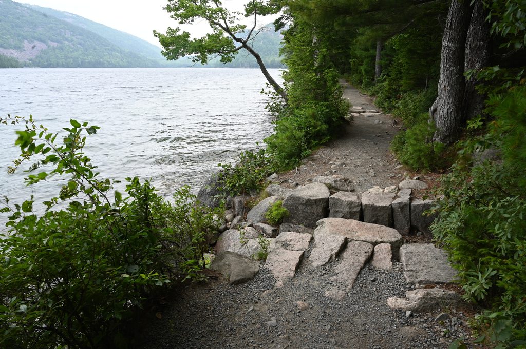
The route alternates between cool, mossy spruce woods and sunny, windswept granite ledges. You’ll pass stony beaches, coves, and cliff perches where surf and sea dominate the soundtrack. Keep an eye out for whimsical driftwood-and-buoy sculptures tucked along some shorelines. At the south end, there’s a view to Western Ear, a small, spruce-topped islet separated by a narrow channel; at very low tide the flats may expose a cautious crossing. The coast here is classic Acadian “bold coast” granite—glacially sculpted ledges speckled with lichen.
Late spring through early fall brings the most reliable weather and footing. Trails can be slick after rain and hazardous in winter conditions. Early season can mean mosquitoes and black flies—pack repellent. For photography, morning or late afternoon light paints the ledges and surf beautifully, and any time of day here is blissfully uncrowded.
Reaching the trail requires taking the mail boat from Stonington to Isle au Haut. From the landing, you’ll hike or bike toward the southern trailheads (Western Head Road). Services are minimal; cell coverage is spotty. Grab the official Isle au Haut trail map before you go so you can confirm junctions if you’re building a loop.
Wear real hiking footwear—granite slabs, roots, and wet rock demand traction. Stay on marked paths to protect fragile vegetation and avoid cliff-edge shortcuts. If you’re tempted to visit Western Ear or roam tidal pockets, check tide charts and give the ocean plenty of respect so you don’t get stranded. Pack water, snacks, a map, and a small first-aid kit; you’re a long way from help out here.
Dogs are allowed on leash; the rugged footing may challenge some pups.
No trailhead parking. Arrive by mail boat from Stonington, then walk or bike Western Head Road to reach the southern trailheads.
Remote coast with limited cell service; wet granite and roots are slippery; rising tides can cut off access near coves and Western Ear—carry a map, check tides, and pack essentials.
Place

Place

Place

Place

Challenging

Challenging
Easy

Challenging

Parkwolf Tour Guide
