
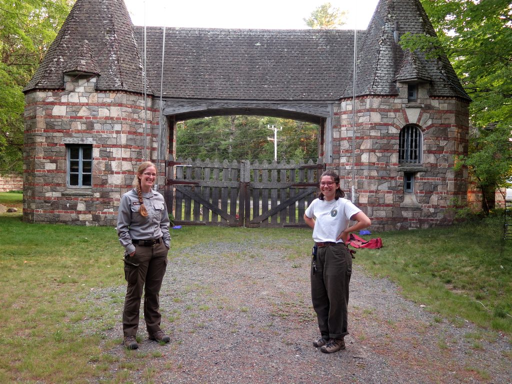
Place · 0.1 mi away
Moderate
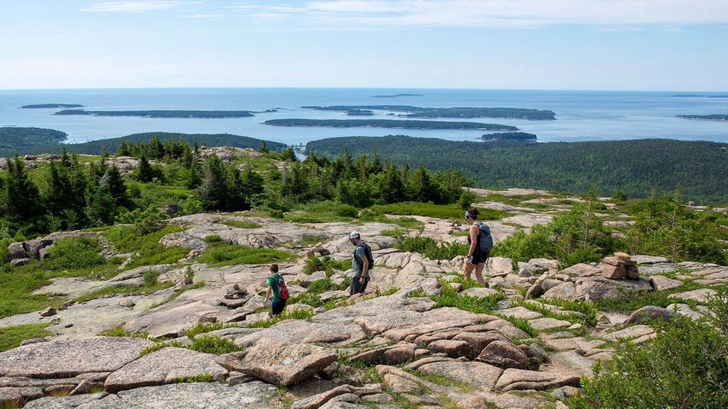
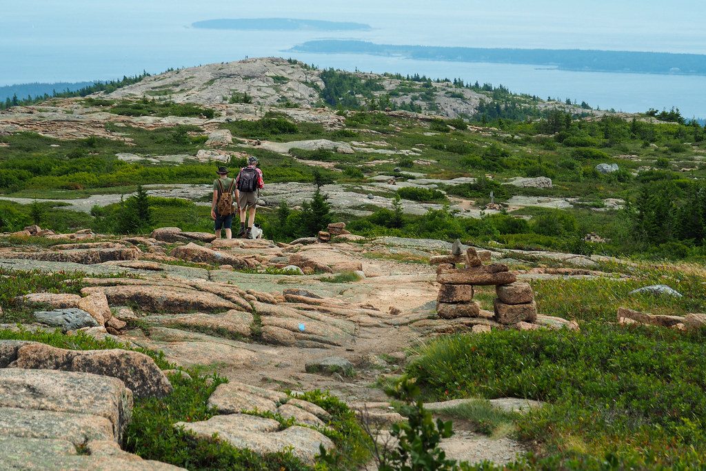
This south-side ridgeline climbs Sargent Mountain—the park’s second-highest—via open granite ledges, windswept slabs, and quiet forest approaches. From the Brown Mountain Gatehouse/Brown Mountain Trailhead, it’s about 5.5 miles total (out-and-back) to the summit, typically 3–4 hours depending on breaks. Expect steady gain, rocky footing, and long, panoramic stretches where the ridge feels wild and high.
You’ll start in mixed hardwoods—maple, oak, birch—then pass into spruce–fir and cedar before breaking onto exposed bedrock. The route is classic Acadia: granite ledges, scattered boulders, and cairn-marked navigation above treeline. On clear days, you’ll spot neighboring peaks, valleys, and even the sea. A highlight near the ridge is small, tranquil Sargent Mountain Pond—an ideal spot to linger, snack, or even take a quick dip if you’re prepared.
The South Ridge is also a connector playground. It links with trails like Penobscot Mountain Trail, Sargent Northwest, and East Cliff, making it easy to tack on Penobscot or build a bigger ridge circuit. As one benchmark, it’s roughly 0.7 miles along the South Ridge to the Penobscot Mountain Trail junction, then another 0.3 miles to Penobscot’s summit.
Difficulty is moderate to moderately strenuous: no ladders or technical moves, but consistent elevation, some steeper rocky bits, and exposure to wind and sun up high. Wet granite turns slick fast after rain, and fog can roll in without warning—those Acadia cairns matter when visibility drops.
Best time to hike: Late spring through fall is prime. June–October typically has the most reliable conditions, and fall foliage can be fantastic. Winter is possible with proper prep (think microspikes for ice) and a conservative plan. Start early for easier parking and softer light, and expect the ridge to feel cooler and gustier than the forest below.
Tips: Park at the Brown Mountain Trailhead/Gatehouse, which also serves busy carriage roads and can fill quickly—display your park pass. Bring a real map or GPX; the web of intersecting trails can confuse even seasoned hikers, especially in fog. Pack layers, extra water, and bug protection—black flies and mosquitoes can be pesky in late spring and early summer.
Park at the Brown Mountain Trailhead/Gatehouse near Sound Drive; the lot is shared with carriage road users and fills early. Display your park pass.
Exposed granite ledges become slick when wet; fog is common and can hide cairns. Windy, sun-exposed ridge; intersections can be confusing—carry a map. Winter brings ice (microspikes recommended). Bugs can be intense in late spring.
Place · 0.1 mi away

Place · 0.5 mi away
Place · 0.6 mi away
Place · 0.9 mi away
Challenging · 0 mi away
Easy · 0 mi away
Easy · 0.1 mi away
Easy · 0.5 mi away

Parkwolf Tour Guide
