Parking
Park at Brown Mountain Gatehouse, off ME 198/3. Follow the carriage roads about 0.7 mile to the South Ridge trailhead; at the first two forks, bear right.
Acadia National Park, ME
A steady south-ridge climb to Sargent’s open, far-reaching summit.
Overview
Map & elevation
Plan your hike

The highest, rockiest slopes around here are a summer buffet for grizzly bears.
Acadia Tour Guide
Parkwolf is a GPS audio tour guide for Acadia National Park. As you drive, it chimes in with what’s ahead: hidden gems, upcoming stops, history, geology, and wildlife, right through your car’s speakers.
See the Acadia audio tourRecorded for this area
Brown Mountain Gatehouse and Its Bells“Brown Mountain Gatehouse is ahead, with stone towers and red-brick bands at a historic carriage-road entrance. Bells let the gatekeepers know when a carriage or rider wanted through.”
Plays on the road 0.4 mi from the trailhead in the Parkwolf Acadia Tour Guide.
More stories near here in the app
“…As we drove through Acadia it gave us a tour, which was really cool. Lots of great info about the parks and how to avoid the crowds. It’s a great travel companion!”


Trail guide
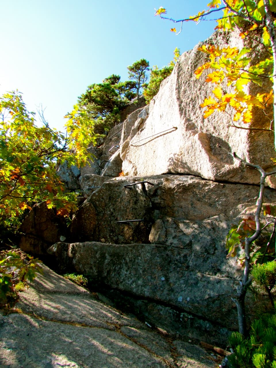
Sargent South Ridge Trail is a 2.8-mile point-to-point ascent from the southern carriage-road junction to Sargent Mountain’s open summit. Sargent is Acadia’s second-highest peak at 1,373 feet. The route climbs about 1,100 feet overall, with a little more accumulated climbing as the ridge rises and dips. For the simplest visit, retrace the same trail: that makes 5.6 miles on the South Ridge. From Brown Mountain Gatehouse, add about 0.7 mile on carriage roads each way, for roughly 7 miles total. Allow around 4½ hours for the full out-and-back, with time to enjoy the summit.
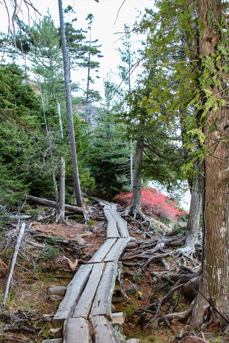
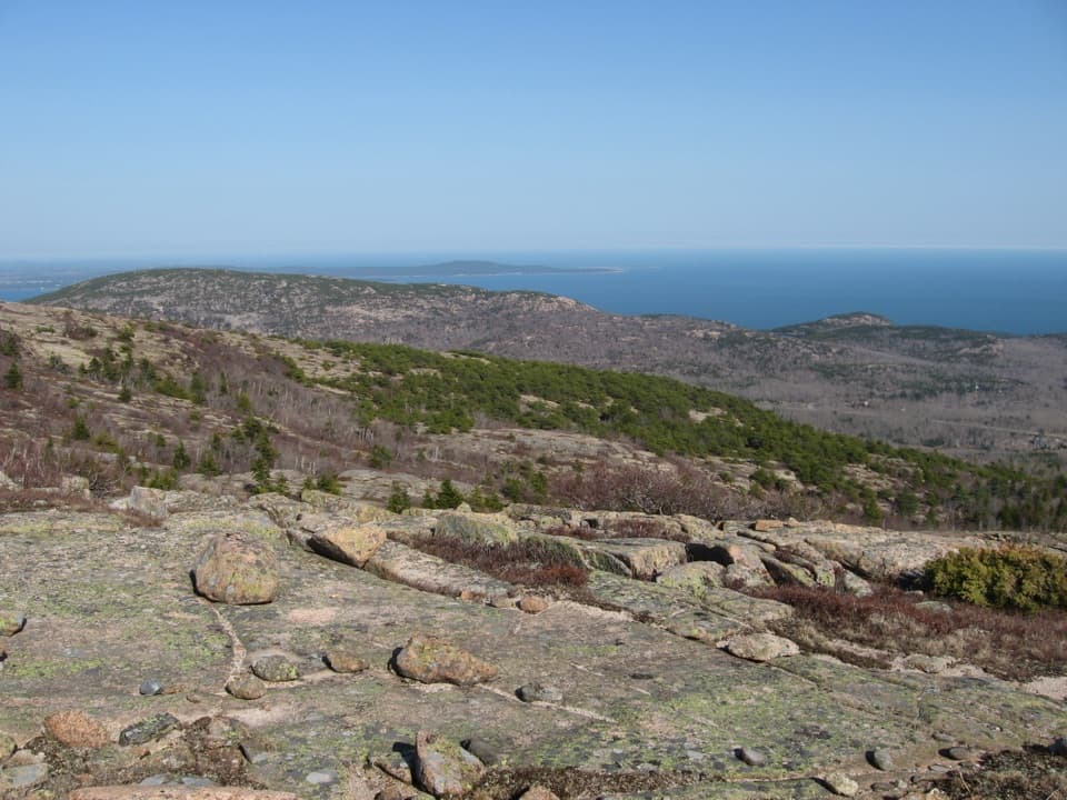
The climb starts in evergreen forest, with occasional open patches, then follows Sargent’s rocky southern spine. It rises gradually toward the eastern side of Cedar Swamp Mountain, then climbs about 430 feet more to Sargent. The longer ascent is the point here: you get a real mountain walk before the summit opens up.
Sargent Mountain Pond sits along the route and makes a good place to pause before the top. Higher up, cairns mark the line across open granite. Some extra rock piles can look convincing, so keep track of the established cairns where the path is hard to see.
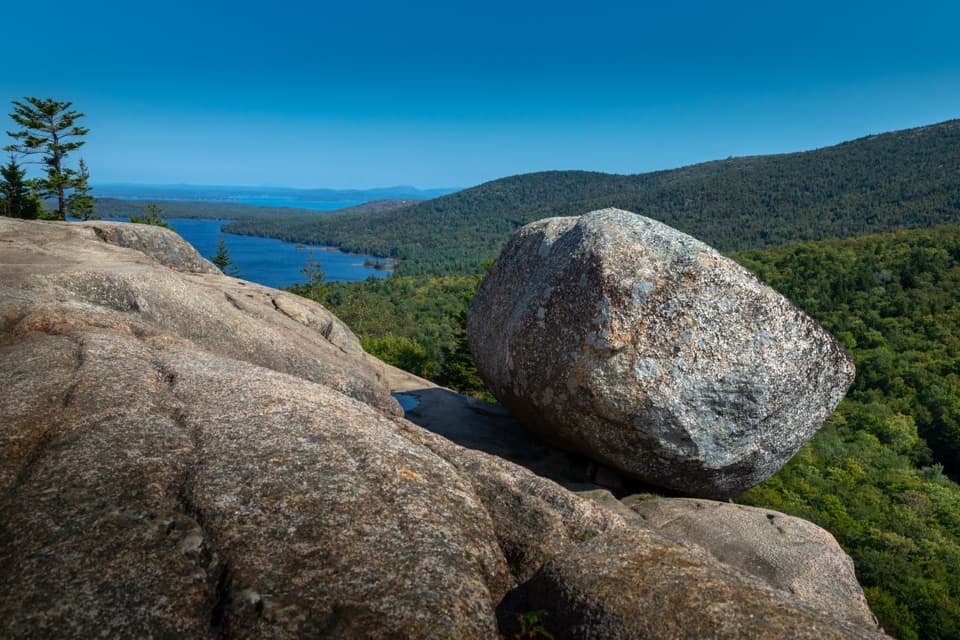
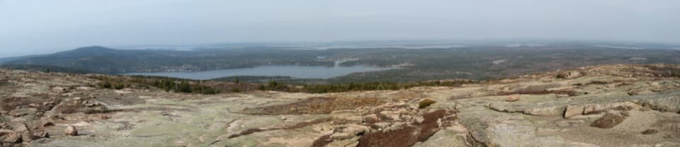
Sargent’s broad, relatively flat summit gives you room to look around. To the east are the Atlantic and offshore islands, Eagle Lake, Cadillac, Jordan Pond, Pemetic, and the Bubbles. Turn west for Somes Sound, Norumbega Mountain, Southwest Harbor, and the western peaks. This is a strong choice if you want a longer climb with a wide island panorama rather than a quick summit stroll.
Wildlife
 131 sightingsBald EagleMost seen around noonSighting map
 21 sightingsPeregrine FalconMost seen around 10 AMSighting map
 403 sightingsWhite-tailed DeerMost seen around 7 PMSighting map
 307 sightingsPorcupineMost seen around 7 PMSighting map
 205 sightingsBeaverMost seen around 7 PMSighting map
 34 sightingsMinkMost seen around 7 PMSighting map
Sighting maps show where each species has been reported across Acadia. Wildlife moves, so no sighting is guaranteed.
Keep exploring
 EasyAsticou & Jordan Pond Path1.9 mi · 1.3 hr · At the trailheadA wooded connector reaches Jordan Pond and the Bubbles.
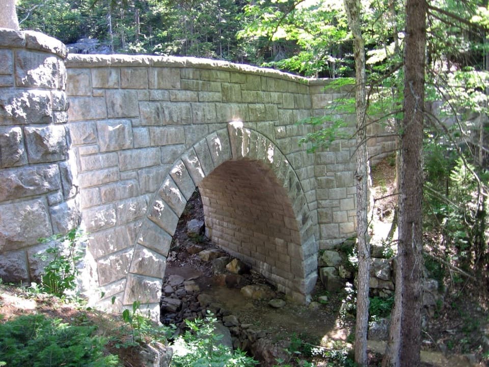 ModerateHadlock Loop Carriage Road4.2 mi · 2.2 hr · 0.4 mi awayA gravel loop to three stone bridges, including a 40-foot waterfall.
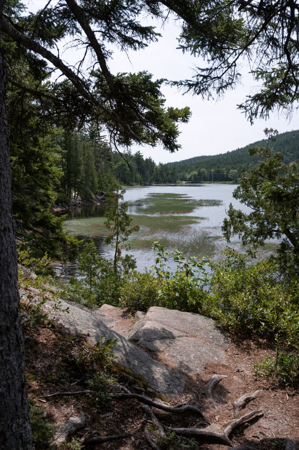 EasyHadlock Ponds Trail1.6 mi · 1.3 hr · 0.5 mi awayEasy pondside walking and a 1926 carriage-road bridge at the far end.
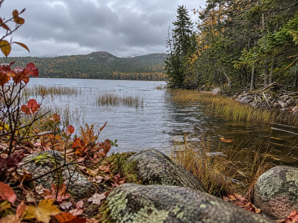 EasyLower Hadlock Trail0.6 mi · 30 min · 0.5 mi awayA gentle shoreline connector with a trail story from 1881.
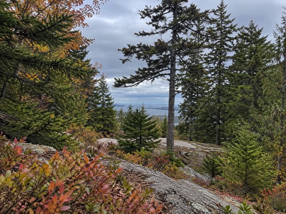 EasyAsticou Ridge Trail0.8 mi · 30 min · 0.5 mi awayA short ridge link from Eliot Mountain into the Asticou path.
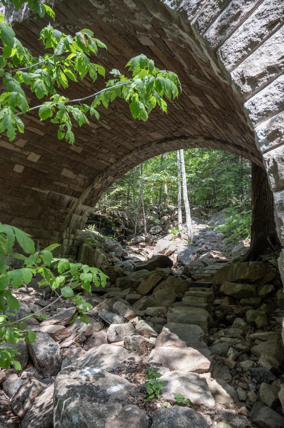 ModerateAmphitheater Trail1.4 mi · 1.5 hr · 0.6 mi awayA wooded climb beneath a landmark pink-granite arch.
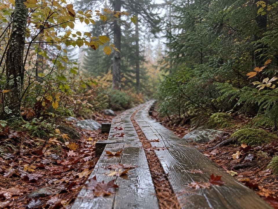 ModerateGolf Course Trail0.5 mi · 30 min · 1 mi awayA 1914 spur on Norumbega's wooded southwest flank.
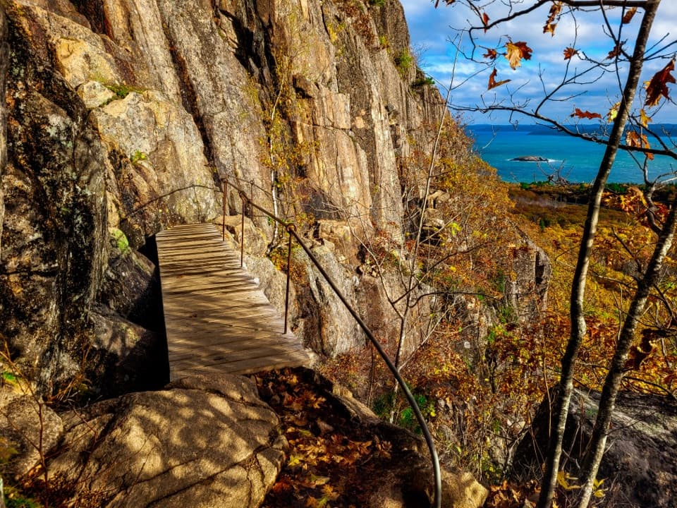
 ChallengingJordan Cliffs Trail1.5 mi · 2 hr · 1.2 mi awayIron rungs, exposed ledges, and a sweeping look over Jordan Pond
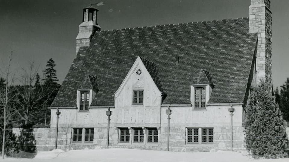 Sight · 0.4 mi awayBrown Mountain GatehouseA 1932 stone-and-brick gate marks the carriage-road entrance.
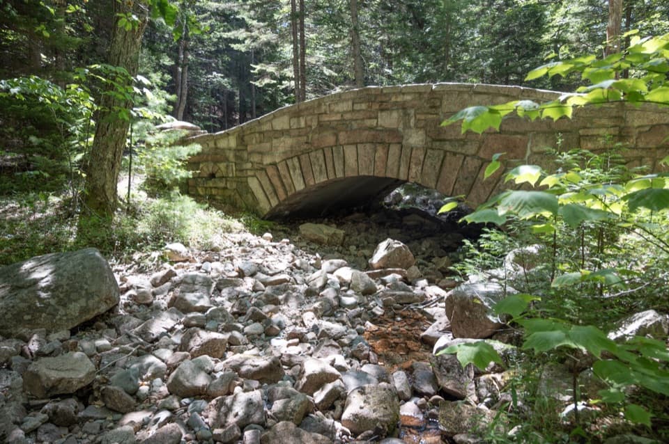 Sight · 0.6 mi awayLittle Harbor Brook BridgeA 1919 granite-faced arch over a shallow brook on car-free roads.
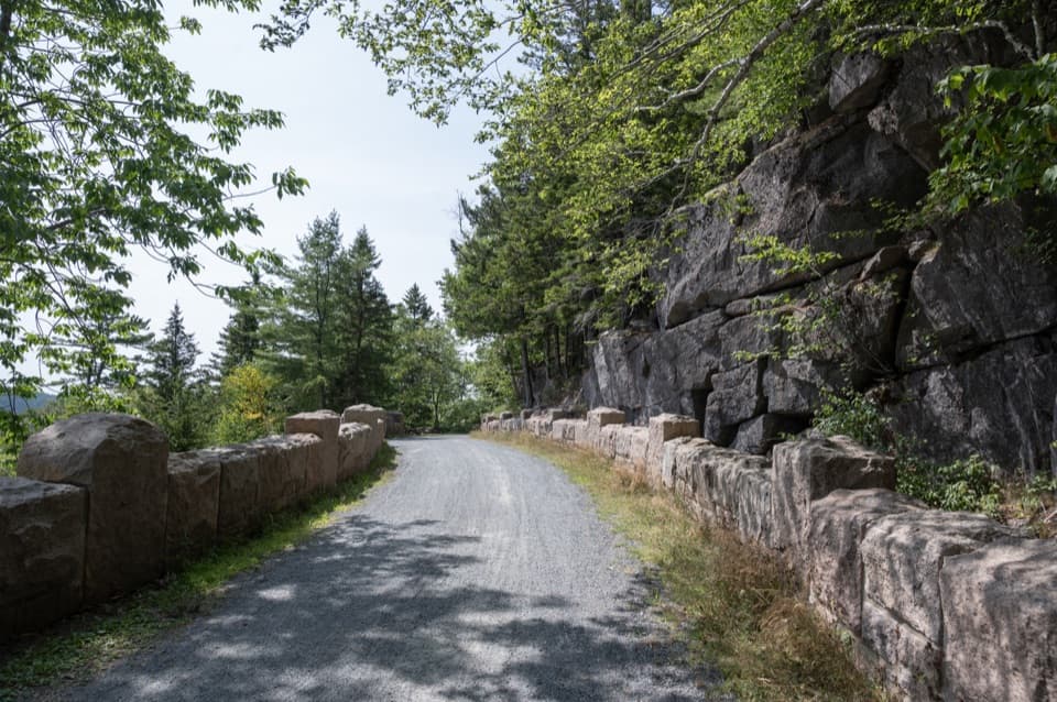 Sight · 0.8 mi awayCliffside BridgeA 1932 stone bridge with castle turrets above Jordan Stream.
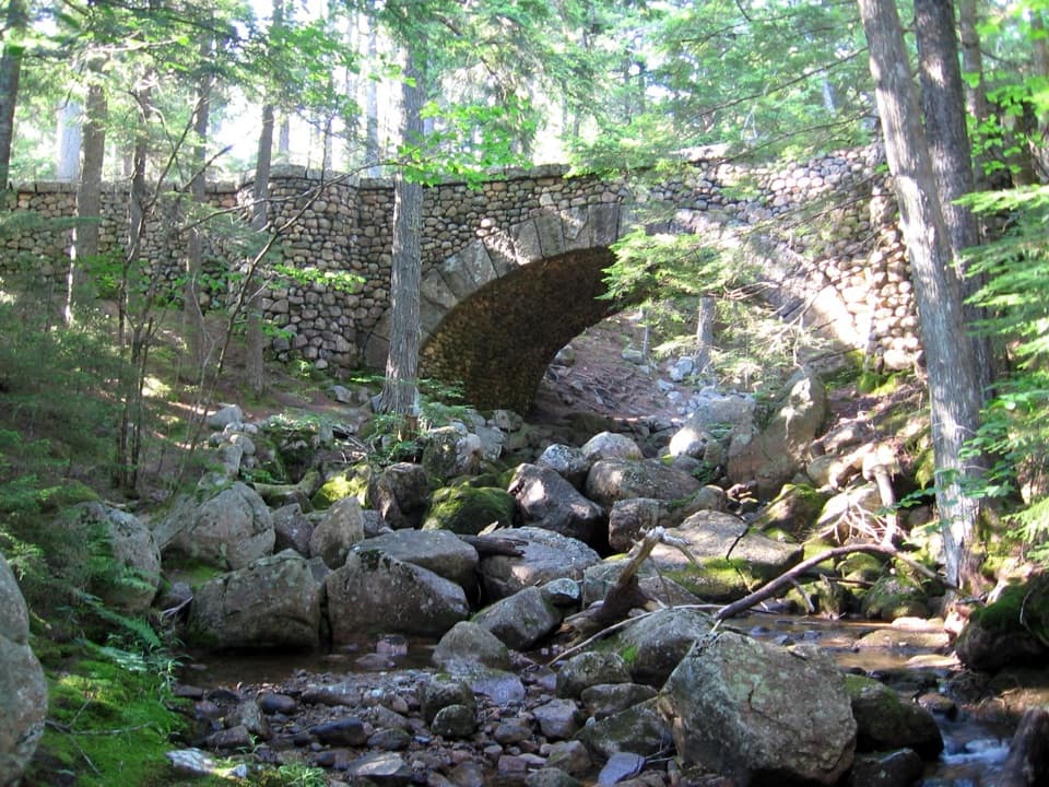 Sight · 0.9 mi awayCobblestone BridgeA 1917 carriage-road bridge with an unusual cobblestone arch.
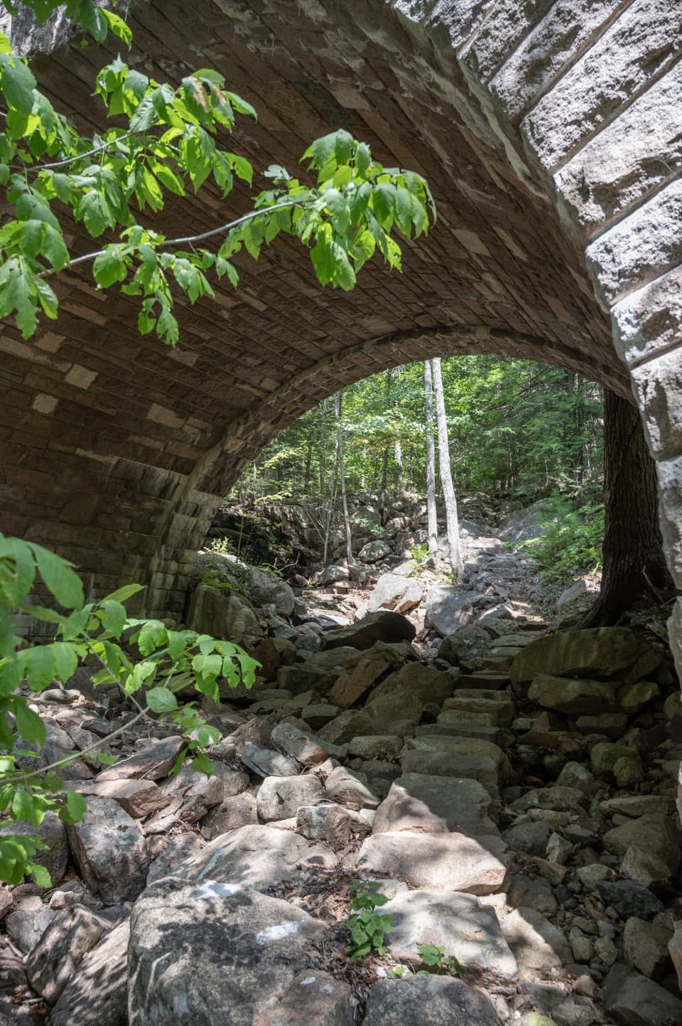 Sight · 1 mi awayAmphitheatre BridgeA granite arch curves around two trees toward a waterfall.
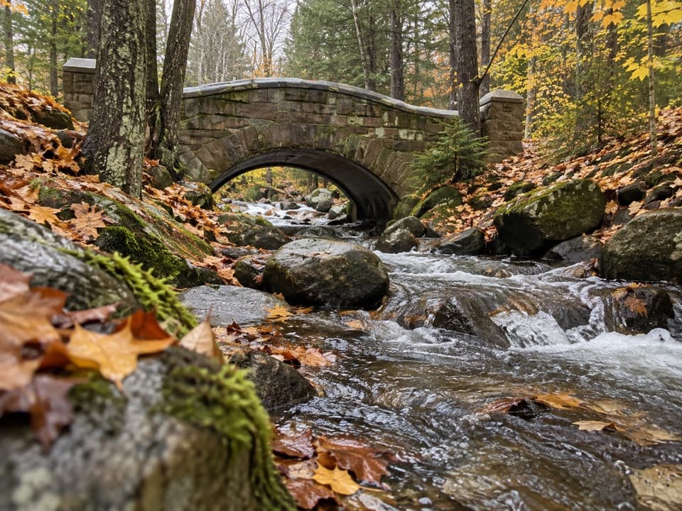 Sight · 1.1 mi awayHadlock Brook BridgeA small stone arch on the car-free Hadlock Loop.
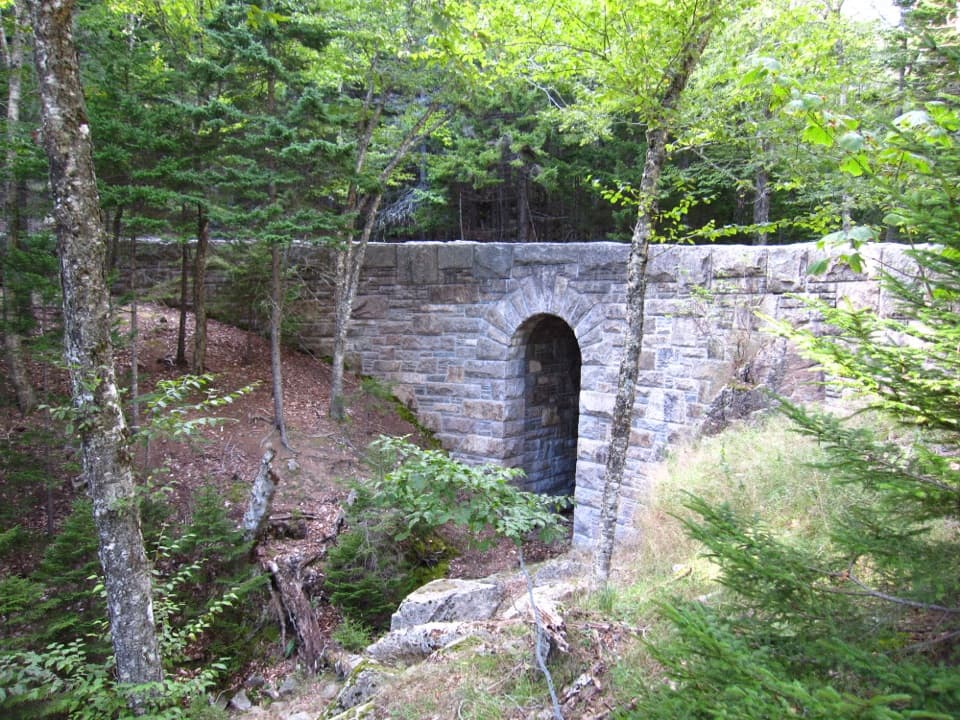 Sight · 1.3 mi awayWest Branch Jordan Stream BridgeA granite carriage-road bridge with a six-foot Roman arch.
 Restaurant · 1.4 mi awayJordan Pond HouseTea and popovers with Jordan Pond and The Bubbles in view
Parkwolf’s Acadia ranking

The audio tour guide for the drive, plus offline maps, trails, and wildlife heatmaps for when the signal drops.