
Place
Easy
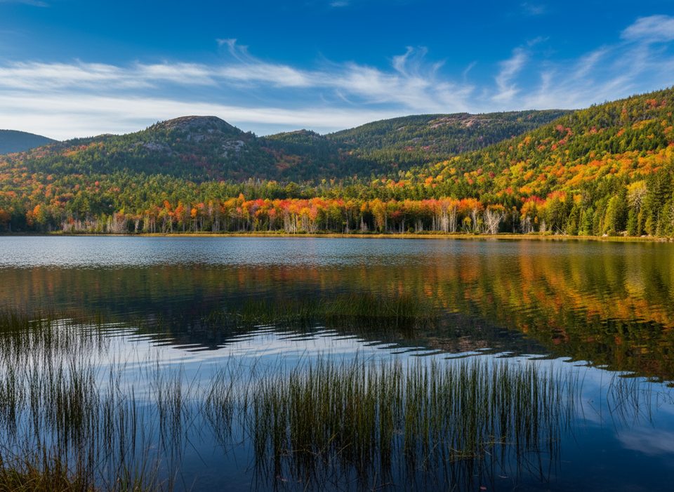
Upper Hadlock Pond is a serene corner of Acadia with big payoff for little effort: tranquil water views, deep woods, and a bonus dose of Rockefeller-era stone bridge architecture if you tack on the nearby carriage roads. It’s notably quieter than many coastal and summit hikes, making it a solid choice when the park is buzzing.
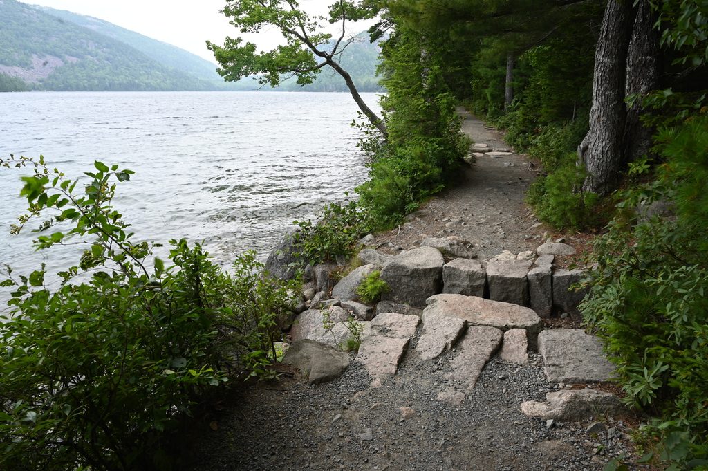
The Upper Hadlock Pond Trail traces the pond’s southern and especially eastern shoreline, skirting wetlands on bogwalks and weaving through mixed forest. Expect a mostly gentle, rooty footpath with short boardwalk sections that can be slick when wet. The standalone Upper Hadlock section is about 1.6 miles total, typically done as a short out-and-back. If you want more, link into the carriage roads on the north side and continue northeast to the elegant Waterfall (stone) Bridge and Hadlock Falls. For an extended outing, the Hadlock Ponds Loop (Upper + Lower) runs about 4.1 miles.
You’ll get frequent, peaceful looks across this roughly 35‑acre pond, backed by granite and forest. The vibe is calm and less trafficked than Acadia’s headliners. Keep an eye out for birdlife along the shore and listen for bullfrogs near the wetlands. Even when Hadlock Falls runs low (it often does), the bridges and woodsy pond views carry the day.
Common starts: a small parking area at the south end puts you right on the shoreline path; or park north of the pond along Route 3/198/Sound Drive to hop the carriage roads and then drop to the pond’s east-side trail. Watch for blue blazes on footpaths and pay attention at carriage-road intersections—they’re well-graded and pleasant, but the network can be confusing if you’re not checking signs.
A park entrance pass is required; no special trail permit. Leashed dogs are allowed.
Park at the south end of Upper Hadlock Pond for immediate shoreline access, or use parking north of the pond along Route 3/198/Sound Drive to enter via the carriage roads.
Wooden bogwalks are slippery when wet or icy; expect roots and uneven footing. Carriage-road intersections can be confusing—follow signs and blue blazes. In winter, ice and muddy sections are common. Hadlock Falls often has low flow.
Place
Place
Place
Place
Challenging
Challenging
Easy
Challenging

Parkwolf Tour Guide
