
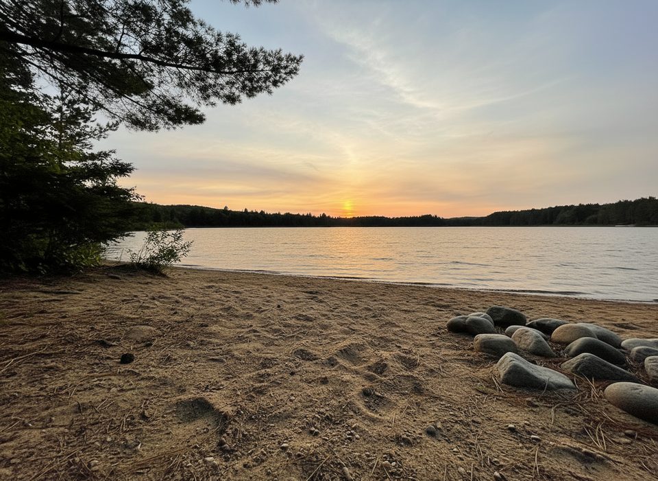
Place · 0.3 mi away
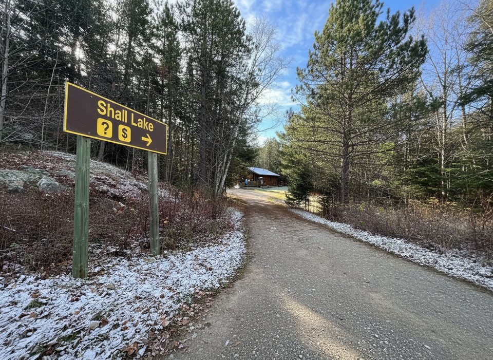
This is a quiet, no‑frills backcountry gateway on a bend of the Opeongo River, perfectly positioned between Farm and Crotch lakes. It’s ideal for first‑time paddlers and quick overnighters—you’re on the water fast, and campsites on Crotch are a short paddle away. Expect a calmer scene than the Highway 60 launches, with the same big‑lake horizons once you round the first point.
From Highway 60 at Madawaska, Major Lake Road leads you in; the final stretch turns to gravel and gets washboarded, so take it slow. On arrival you’ll find parking and a straightforward launch. Pro tip: the beach by the small bridge is the easiest place to put in; the office‑side slope can be awkward. To reach Crotch Lake, paddle under the bridge—there’s usually just a light current, but late‑season low water can expose a few shallow rocks.
From this put‑in you can fan out in several directions:
Portages out of the access area are well‑defined; typical carries include a straightforward ~760 m section toward Bridle and a longer, rougher ~1.3 km link toward Shirley—good starter challenges without committing to epic hauls.
You’ll find parking, toilets, and an access‑point office here. Backcountry reservations are made online or by phone up to five months ahead, and your reservation letter (printed or digital) is your permit—there’s no separate pickup. Paddling reservations are lake/zone‑specific and sites are first‑come, first‑served. Campsites are marked with orange signs and typically have a fire ring and box privy. Cans and glass are banned, and most lakes here are motor‑free. In spring, access can be delayed by ice‑out periods; always check park advisories and water‑level notes before you go.
Locals don’t consider this a risky launch, but shoulder‑season water is cold—wear PFDs and keep a dry bag with warm layers and fire‑starter handy. Expect mosquitoes and horseflies from late May through July. Keep a clean camp for bears and other visitors; it’s common to spot moose sign, bald eagles, and even river otters along these shorelines.
For paddling, spring through early summer usually offers the best water, with calmer winds early and late in the day. Midweek starts see fewer people, while summer weekends can feel busier at the lot. If bugs aren’t your thing, late August into September is the sweet spot—cooler nights, clearer views, and quieter lakes.
Place · 0.3 mi away
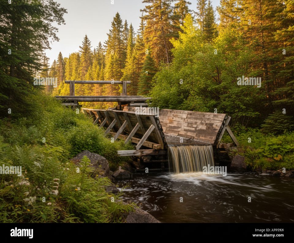
Place · 10.8 mi away
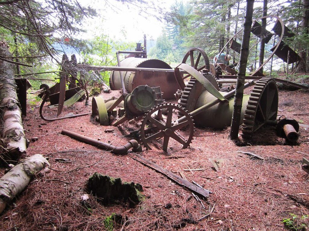
Place · 10.8 mi away
Place · 10.8 mi away
Easy · 10.8 mi away
Moderate · 12.4 mi away
Easy · 14 mi away
Easy · 15.3 mi away

Parkwolf Tour Guide
