Parkwolf Tour GuideThe highest, rockiest slopes around here are a summer buffet for grizzly bears.
Algonquin Tour Guide
Algonquin, narrated.
Parkwolf is a GPS audio tour guide for Algonquin Provincial Park. As you drive, it chimes in with what’s ahead: hidden gems, upcoming stops, history, geology, and wildlife, right through your car’s speakers.
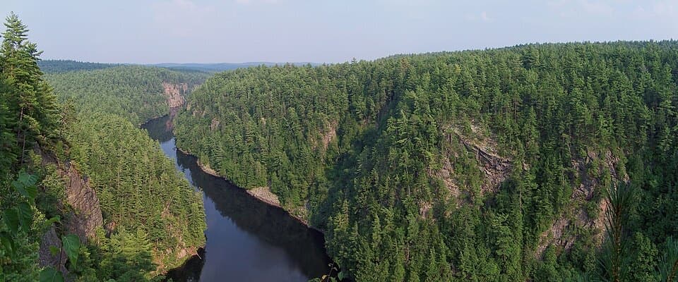
“Barron Canyon's trailhead is coming up, with a short walk to views nearly a hundred metres above the river. The one-and-a-half-kilometre loop climbs steeply at first; allow forty-five minutes, plus time at the overlooks.”
Plays as you drive up to Barron Canyon Lookout in the Parkwolf Algonquin Tour Guide.
More stories near here in the app
A Drumroll Made of Air
Before the Wings
High Falls Trail Access
A Seed with a Meal Attached
107 audio storiesacross Algonquin’s roads, triggered by GPS as you drive
Wildlife heatmapsfor Moose, Eastern Wolf, Black Bear, and 13 more
Works offlinemaps, 39 trails, 66 places, and audio download before you lose signal
CarPlay readysimple controls built for the drive
★★★★★
“Fantastic app with many points of information… It’s great to just turn on while you’re driving and it gives you an audio tour of the national Park. We love it!!!!”
ClosureProvoking Falls Bridge ClosedThe Provoking Falls bridge on the Highland Backpacking Trail is closed because of safety concerns; the bridge has been removed. - Use the posted reroute, which adds 2.5 km.Official details
CautionLow Water on Backcountry Canoe RoutesOntario Parks currently lists low-water alerts for six backcountry canoe-route sections: - Varley Lake from Carl Wilson Lake - Latour Creek north of Rosebary Lake - Carcajou Creek north towards…Official details