
Place · 0.5 mi away
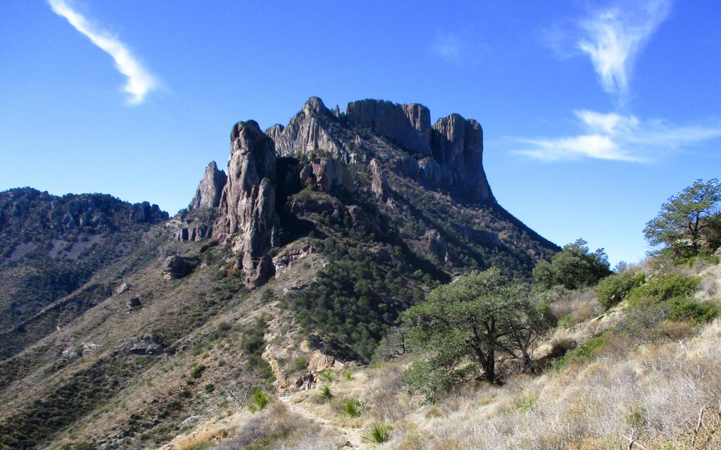
Casa Grande Peak is the blocky, square-topped mountain that anchors the east side of the Chisos Basin. Its name means “Big House,” and it absolutely looks the part—sheer walls, a flat-ish crown, and a skyline presence that many visitors instinctively fixate on. It’s not the park high point, but it’s the one you keep noticing from the Basin.
This is a lava-capped erosional remnant, built from volcanic rocks roughly 30–33 million years old. The lower slopes carry juniper, oak, and piñon; higher on the northeast side you’ll even find some Douglas fir. Expect a lot of bare volcanic rock and cliffs, with a rugged, steep upper mountain; some routes note a small natural arch along the way.
There’s no maintained trail to the summit. Most ascents start on Lost Mine Trail, then branch onto an unmarked route and scramble the north side. Near the top, the last stretch turns into steep, loose scree and exposed boulders. An easier line uses a chute to a notch (roughly Class 2+), followed by a short Class 3 boulder scramble to the top; a harder Class 4 crack also exists but isn’t necessary. Bring route-finding sense—and be deliberate on the descent through the scree.
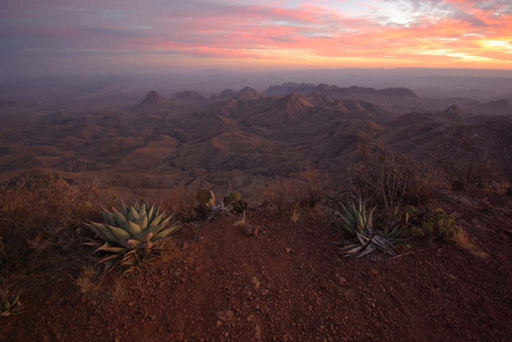
From the summit: sweeping, 360-degree views of the Chisos Basin and peaks beyond, with a real sense of standing above it all. Photographers like the way Casa Grande catches morning light, and summit sunsets can be especially photogenic.
The mix of woodlands and rocky slopes supports typical Chisos Mountains fauna—keep an eye out for birds of prey, mule deer, and smaller mammals.
Start early to beat heat and build in time for the slow, careful finish. Weekdays are best for solitude. For photos, morning light paints the peak beautifully; late-day light and sunset from the summit get rave reviews. Avoid midday heat and bring more water than you think you’ll need.
Place · 0.5 mi away
Place · 0.8 mi away
Place · 0.8 mi away
Place · 0.8 mi away
Moderate · 0.7 mi away
Challenging · 0.9 mi away
Moderate · 0.9 mi away
Challenging · 0.9 mi away

Parkwolf Tour Guide
