Parking
Use the Chisos Basin parking area; the trailhead is nearby. No dependable lot capacity or overflow plan is published.

#4 of 45 trails in Big Bend
Big Bend National Park, TX
A full-day climb to Big Bend’s highest summit and wide-open views.
Overview
Map & elevation
Plan your hike

The highest, rockiest slopes around here are a summer buffet for grizzly bears.
Big Bend Tour Guide
Parkwolf is a GPS audio tour guide for Big Bend National Park. As you drive, it chimes in with what’s ahead: hidden gems, upcoming stops, history, geology, and wildlife, right through your car’s speakers.
See the Big Bend audio tourRecorded for this trailhead
Chisos Basin and Window View“You're coming up on Chisos Basin, a mountain-ringed bowl with a gap called the Window opening toward the desert.”
Plays as you drive up to this trailhead in the Parkwolf Big Bend Tour Guide.
More stories near here in the app
“Fantastic app with many points of information… It’s great to just turn on while you’re driving and it gives you an audio tour of the national Park. We love it!!!!”


Trail guide
Emory Peak Trail is a 10.5-mile out-and-back from the Chisos Basin parking area. Follow the forested Pinnacles Trail 3.8 miles to the Emory Peak junction, then take the 1.4-mile Emory Peak spur to the summit and return the same way. Plan on six to eight hours and roughly 2,500 feet of climbing. This is a hard, all-day hike, but it earns its place with a varied climb into the high country and a 360-degree view from the park’s highest point. You can turn around below the last scramble, though you’ll still have done nearly all of the climb.
The approach starts under pinyon pine, oak, juniper, and Texas madrone. Early junctions branch toward other Basin walks, so stay on the Pinnacles route. Around a mile in, Juniper Flat opens into a grassy patch with a good look at Casa Grande; short paths lead to nearby campsites. From there the grade gets steeper. You’ll work up a northeast-facing ridge on switchbacks, with stretches of rocky tread and volcanic pinnacles, hoodoos, and other sharp formations along the way. The climb is demanding, but the scenery keeps changing rather than leaving you on one long bare slope.
Near the saddle between Emory Peak and Toll Mountain, turn onto the Emory Peak spur. It climbs through forest and open rocky scrub before steepening beneath Emory’s east ridge. The gaps between trees give you different views as you go: the Basin to the north, Crown Mountain to the east, and Boot Canyon to the south. Save some time for the spur; it’s not a quick add-on after the longer Pinnacles approach, and the summit is the reason to take this route.
The summit blocks end with about 25 feet of steep, exposed rock. There’s no rope, rail, or built handhold. You can stop at the base and still finish the hike without making that last move; don’t feel obliged to climb it just because other people do. If thunderstorms are threatening, the park advises against attempting the final mile, especially during the July–September monsoon months. The upper ridge is not a place to wait out a storm.
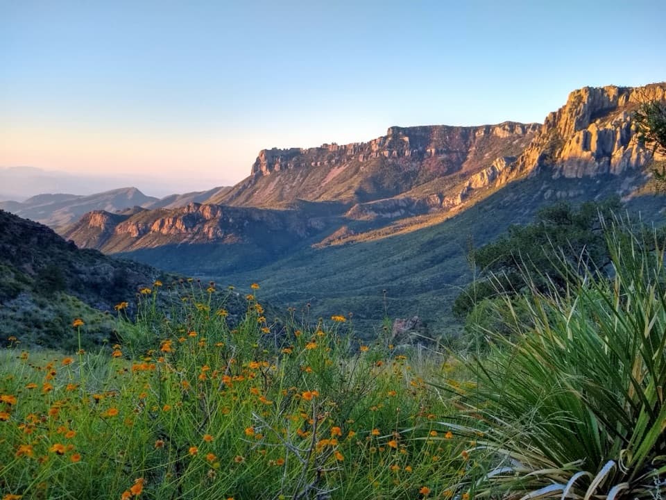
Emory Peak rises to 7,825 feet, the highest point in Big Bend. Its small rocky top has a wide panorama over the Chisos, the desert, the Rio Grande, and the Sierra del Carmen; on clear days, the river country stretches far to either side. You’ll also see radio antennas and equipment used for park communications. For a photo, keep some of the rough summit rock in the foreground so the layers of ridges don’t flatten into a generic landscape.
Start from the Chisos Basin parking area, where the trailhead is nearby. No dependable parking capacity or overflow plan is published, and visitor reports vary, so don’t count on a particular space being free. No water refill on this route was verified; carry what you’ll need for the full six-to-eight-hour hike. Pets aren’t allowed on park trails. There are no confirmed services along the route, so plan the hike as a full day away from food and water stops.
Wildlife
 377 sightingsBlack BearMost seen around 7 PMSighting map
 329 sightingsCollared PeccaryMost seen around 7 PMSighting map
 500 sightingsWhite-tailed DeerMost seen around 7 PMSighting map
 985 sightingsRoadrunnerMost seen around 8 AMSighting map
 228 sightingsRavenMost seen around 5 PMSighting map
 264 sightingsTurkey VultureMost seen around noonSighting map
Sighting maps show where each species has been reported across Big Bend. Wildlife moves, so no sighting is guaranteed.
Keep exploring
 ChallengingOuter Mountain Loop30 mi · 18 hr · At the trailheadThree days from Chisos woodland to exposed desert, with no reliable water.
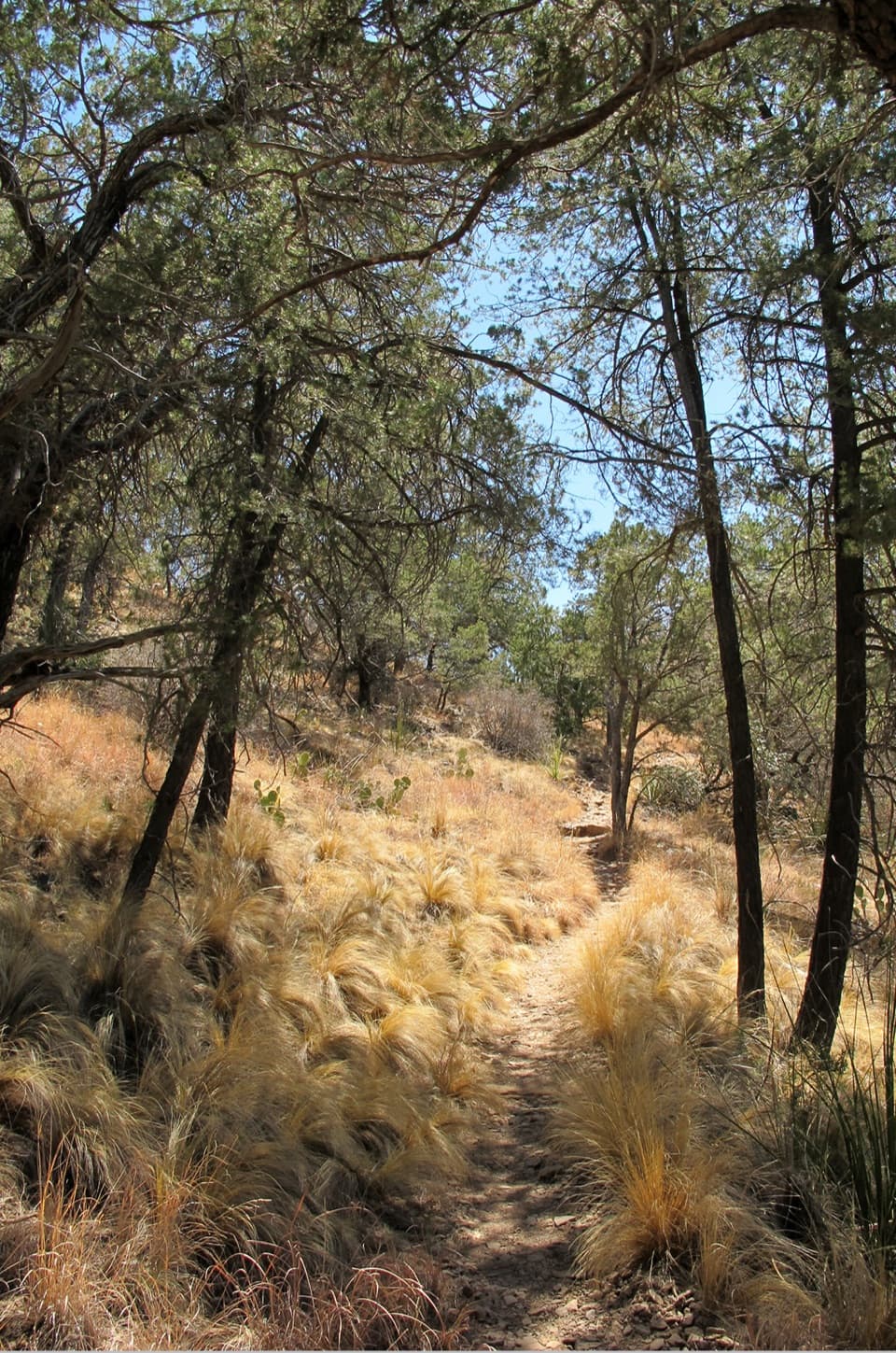 ModerateChisos Basin Loop Trail2 mi · 1 hr · At the trailheadA shaded Basin loop with Window views and pine forest.
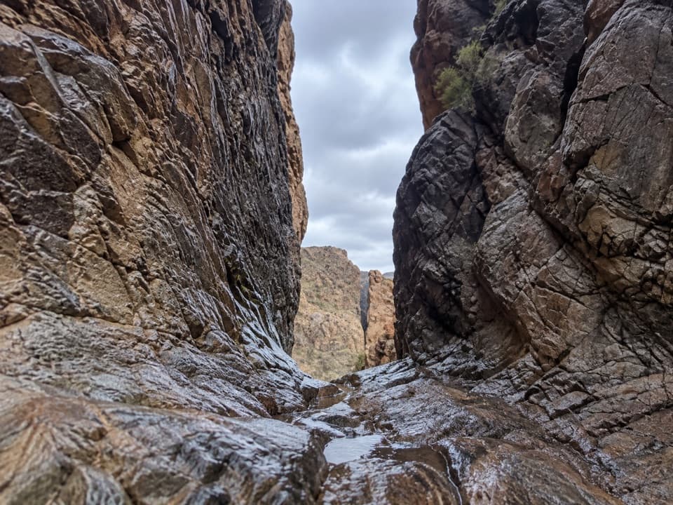 ModerateThe Window Trail5.5 mi · 3.5 hr · At the trailheadA 5.5-mile canyon hike with a tough climb back to the Basin.
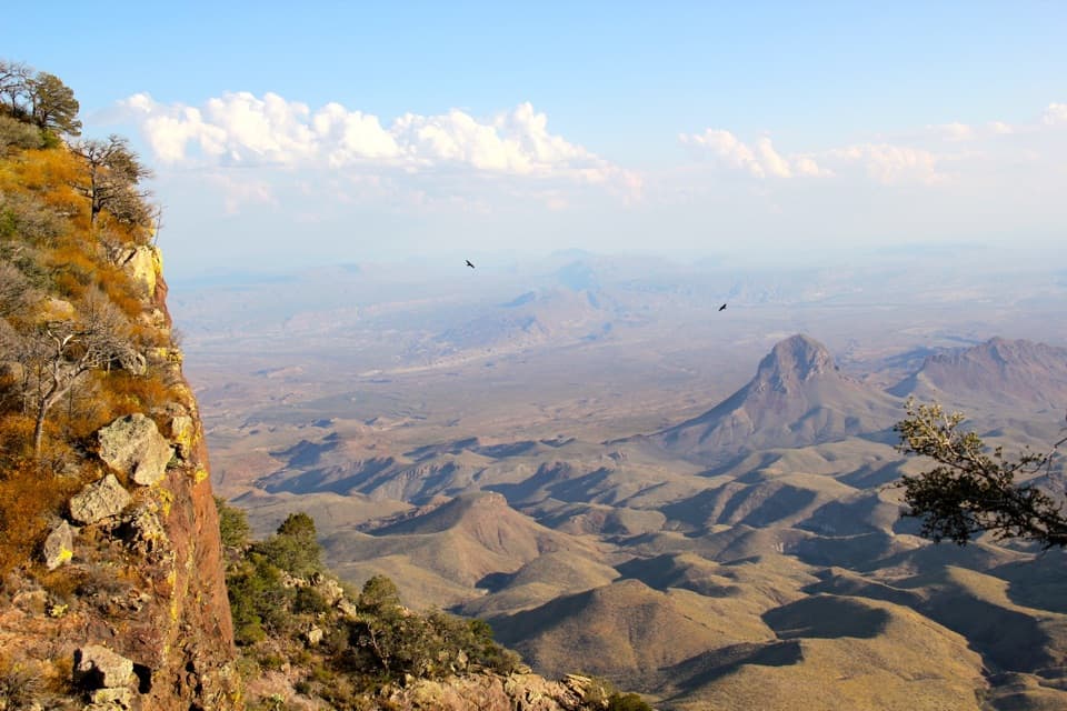 ChallengingSouth Rim Trail12.5 mi · 6.5 hr · At the trailheadA hard climb to the rim, back through Boot Canyon and Pinnacles.
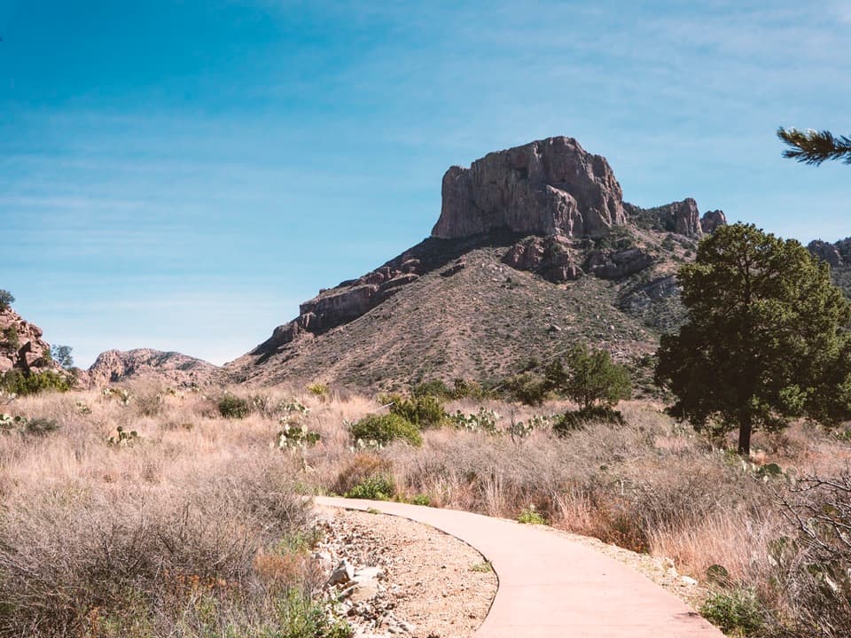 EasyWindow View Trail0.3 mi · 30 min · At the trailheadA paved Basin loop with a clear view through the Window.
 ChallengingEntire Rim Loop13.6 mi · 9 hr · At the trailheadBoth Chisos rims and Boot Canyon in a full-day loop.
 ChallengingPinnacles Trail7 mi · 4.5 hr · At the trailheadA steep, shaded climb to a high pass above the Basin.
 ModerateLaguna Meadow Trail7.4 mi · 4.5 hr · At the trailheadA steady climb into meadow country with views back to the Basin
 Store · 0.1 mi awayChisos Basin StoreCold drinks and camp basics, without a detour from the Basin.
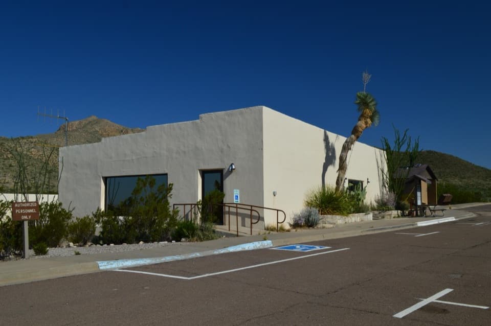 Visitor center · 0.1 mi awayChisos Basin Visitor CenterA quick Chisos wildlife primer before you head for the Basin trails.
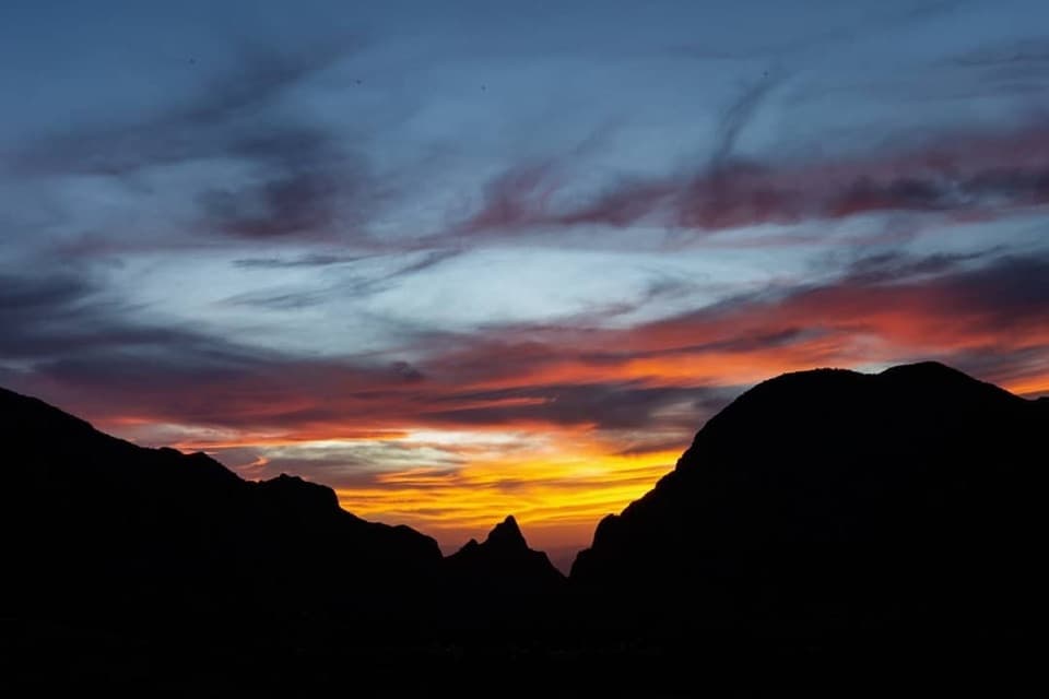 Sight · 0.1 mi awayWindow ViewA short, paved loop for sunset through the Window.
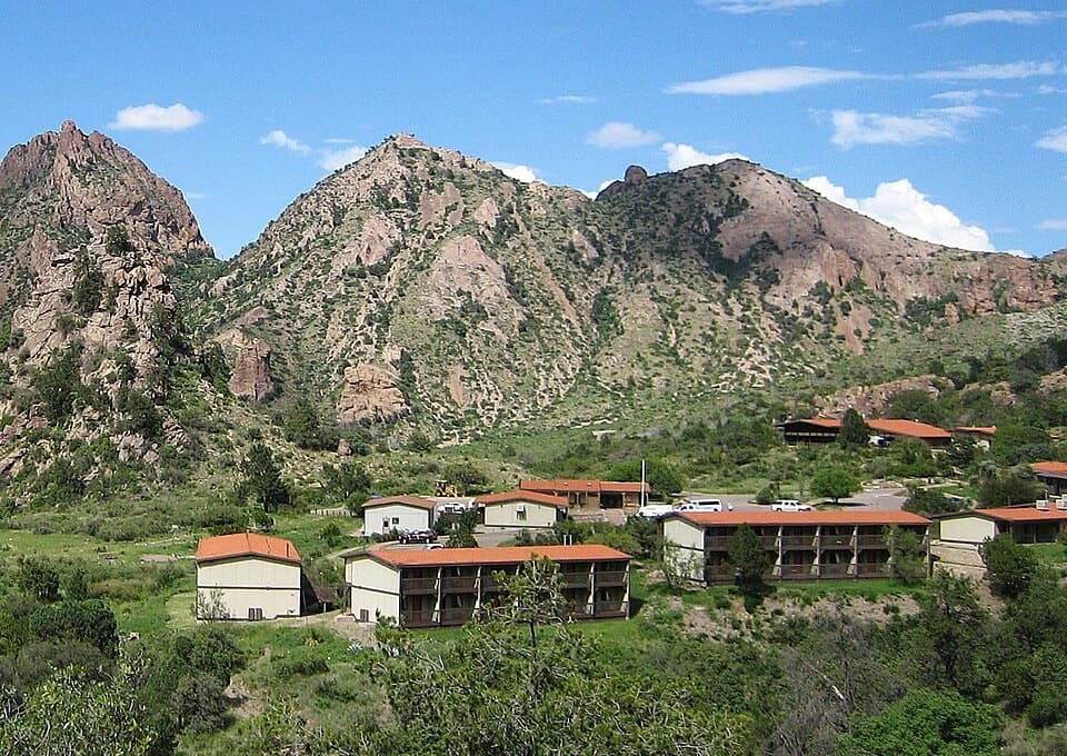 Lodging · 0.1 mi awayChisos Mountains LodgeStay at the park's only lodge, high in Chisos Basin.
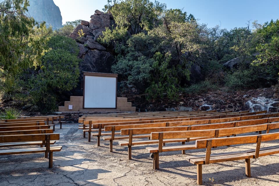 Sight · 0.3 mi awayChisos Basin AmphitheaterRanger talks bring local stories to a stone stage outdoors.
 Campground · 0.4 mi awayChisos Basin CampgroundHigh-country camping for hikers; road and site size favor smaller rigs.
 Scenic pullout · 1.4 mi awayTree Zone ExhibitStand under an oak where desert plants meet mountain woodland.Sight · 1.7 mi awayEmory PeakA 10.5-mile round trip earns a 360-degree summit panorama.
Parkwolf’s Big Bend ranking

The audio tour guide for the drive, plus offline maps, trails, and wildlife heatmaps for when the signal drops.