
Place · 3.3 mi away
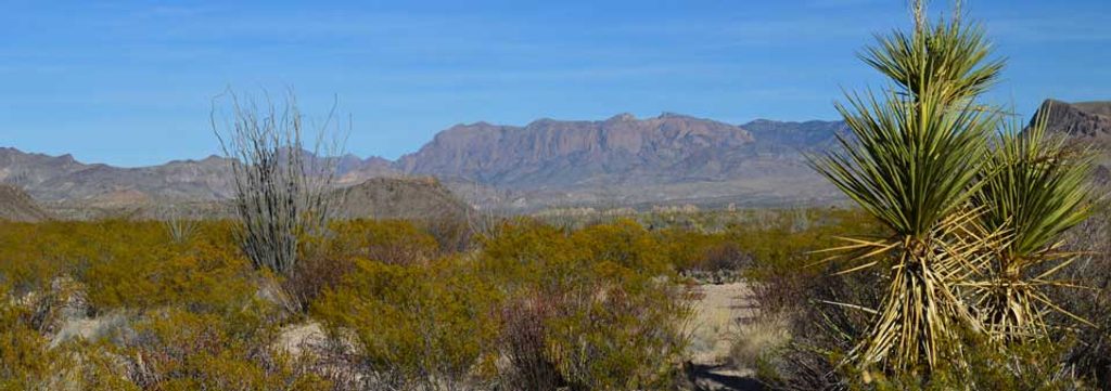
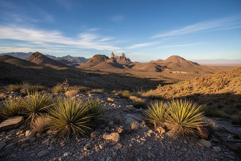
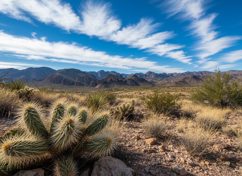
A row of rugged volcanic outcrops rising from open desert, the Chimneys deliver a satisfying payoff after a flat walk across the Chihuahuan Desert. The southernmost "chimney" hides prehistoric petroglyphs and faint pictographs—plus bedrock grinding holes—so there’s real cultural weight alongside the scenery.
Plan on about 4.8 miles round trip from the signed Chimneys Trailhead off Ross Maxwell Scenic Drive. The route is nearly flat, crossing sandy washes and desert grassland with distant mountain views. There’s essentially no shade until you reach the rocks, so pace yourself and hydrate.
An alternate, longer approach comes from Old Maverick Road. Some hikers connect the two for a point‑to‑point day, but you’ll need a shuttle.
Those spires are remnants of volcanic activity, aligned like a stone skyline above the flats. The real surprise is the Indigenous rock art: carvings and faint paintings clustered on the southernmost formation, along with grinding holes and metates that hint at everyday life here long before the park.
You’re in classic desert habitat—expect lizards, snakes, and birds more than big mammals. Give wildlife space and never feed or approach it. Heat and sun are the main hazards here; carry ample water, cover up, and turn around if conditions get to you.
Follow signed trail markers and the established path. Random piles of rocks (unofficial cairns) can lead you astray—ignore them. Cell service is unreliable away from the road, so don’t count on it.
This is a remote, undeveloped stop: no restrooms, no water, no food or store. There is a signed trailhead and parking along Ross Maxwell Scenic Drive; bring everything you need.
Go in the cooler months (late fall through early spring) and aim for early morning or late afternoon. You’ll dodge the worst heat and get softer light on the rock textures and the desert backdrop. Midday in warm seasons can be punishing.
Explore the base of the southernmost chimney and look closely—the petroglyphs are obvious once you’re in the right spot, while the pictographs are faint. Admire, photograph, and leave them untouched.
Place · 3.3 mi away
Place · 3.7 mi away
Place · 3.7 mi away
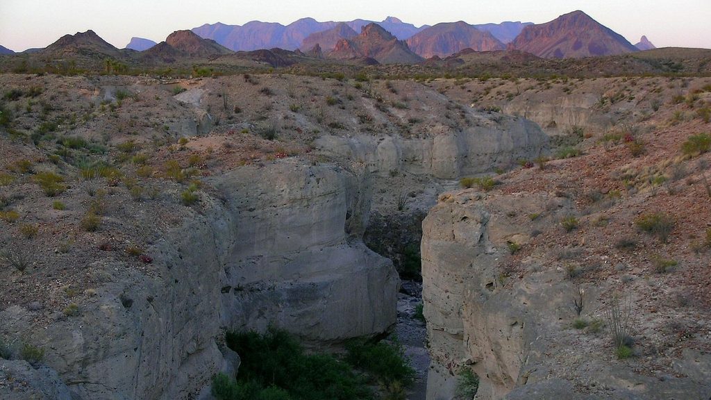
Place · 4 mi away
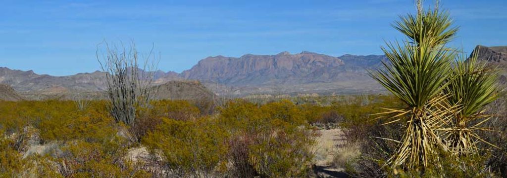
Moderate · 3.1 mi away
Easy · 3.7 mi away
Moderate · 3.7 mi away
Easy · 3.8 mi away

Parkwolf Tour Guide
