Parking
Start at the paved Mule Ears Overlook parking lot on Ross Maxwell Scenic Drive. The lot also serves the roadside viewpoint and holds about 15 vehicles.
Big Bend National Park, TX
A rock corral and spring tucked into a desert walk
Overview
Map & elevation
Plan your hike

The highest, rockiest slopes around here are a summer buffet for grizzly bears.
Big Bend Tour Guide
Parkwolf is a GPS audio tour guide for Big Bend National Park. As you drive, it chimes in with what’s ahead: hidden gems, upcoming stops, history, geology, and wildlife, right through your car’s speakers.
See the Big Bend audio tourRecorded for this trailhead
Mule Ears Overlook“Mule Ears Overlook is coming up, a short spur off Ross Maxwell Scenic Drive for a view of the twin dark spires. You can enjoy them from the pullout without taking the trail.”
Plays as you drive up to this trailhead in the Parkwolf Big Bend Tour Guide.
More stories near here in the app
“Fantastic app with many points of information… It’s great to just turn on while you’re driving and it gives you an audio tour of the national Park. We love it!!!!”


Trail guide
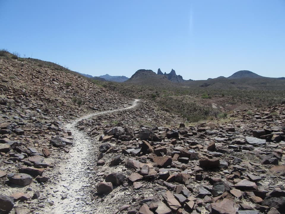
Mule Ears Spring Trail is a 3.8-mile out-and-back from the Mule Ears Overlook lot to an old stone corral and a small spring. Allow about two hours. The draw is the contrast: a rolling walk through open desert below the twin Mule Ears formations, ending in a shaded, greener pocket. Come for a varied desert outing and a trace of ranching history; the spring itself can be little more than a trickle. The 3.8 miles end at the spring. Continuing toward Smoky Creek or the viewpoint north of Mule Ears Peak makes a longer outing and is not included here.
From the lot, the path climbs a low hill for an early view, then traverses the south-facing slope of Trap Mountain. Around 0.3 mile it dips through a drainage; near 0.7 mile it drops into a wash and follows it briefly before climbing to a bench around 1.1 miles. Cottonwoods below the trail mark nearby Trap Springs. Another wash and several short climbs lead to the stone corral at roughly 1.9 miles. Take the short spring branch just beyond it, then return by the same route.
The surface is dirt and rock with loose gravel. The walk repeatedly drops into washes and climbs back over low divides; those short, sometimes steep climbs are the work here more than one long ascent. Most of the route is exposed, with shade at the spring. Heat is the main planning issue. The park recommends one liter of water per person per hiking hour; carry what you need for the full walk rather than relying on the spring for a refill. Pets are not allowed on park trails.
The stone corral is associated with an old Castolon Ranch property, and the spring supplied water in this dry landscape. The shaded slope supports maidenhair ferns and cattails, while cottonwoods mark nearby shallow water. Birds, leopard frogs and dragonflies may gather where it stays wet, but sightings and flow vary. Treat the spring as a small habitat pocket, not a large water feature: visitors have found anything from a trickle to nearly dry conditions.
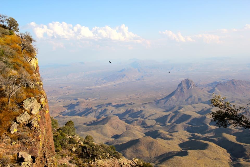
The twin dark pillars stand above the open desert, and the path itself makes a strong foreground as the view opens. If you stop for a photo, frame the pale trail leading toward the peaks rather than cropping out the route. The paved Mule Ears Overlook lot also serves the roadside viewpoint and holds about 15 vehicles, so you can take in the formation before or after the hike.
Wildlife
 377 sightingsBlack BearMost seen around 7 PMSighting map
 329 sightingsCollared PeccaryMost seen around 7 PMSighting map
 500 sightingsWhite-tailed DeerMost seen around 7 PMSighting map
 985 sightingsRoadrunnerMost seen around 8 AMSighting map
 228 sightingsRavenMost seen around 5 PMSighting map
 264 sightingsTurkey VultureMost seen around noonSighting map
Sighting maps show where each species has been reported across Big Bend. Wildlife moves, so no sighting is guaranteed.
Keep exploring
 ModerateChimneys Trail4.8 mi · 2.5 hr · 2.8 mi awayDesert spires and ancient rock art cap this exposed 4.8-mile walk.
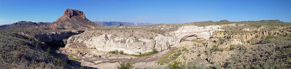 EasyTuff Canyon Trail0.5 mi · 20 min · 3.4 mi awayA short rim walk with a clear look at volcanic layers.
 EasyBurro Spring Trail2.4 mi · 1.5 hr · 4.6 mi awayA rocky desert walk to a spring overlook above a green pocket.
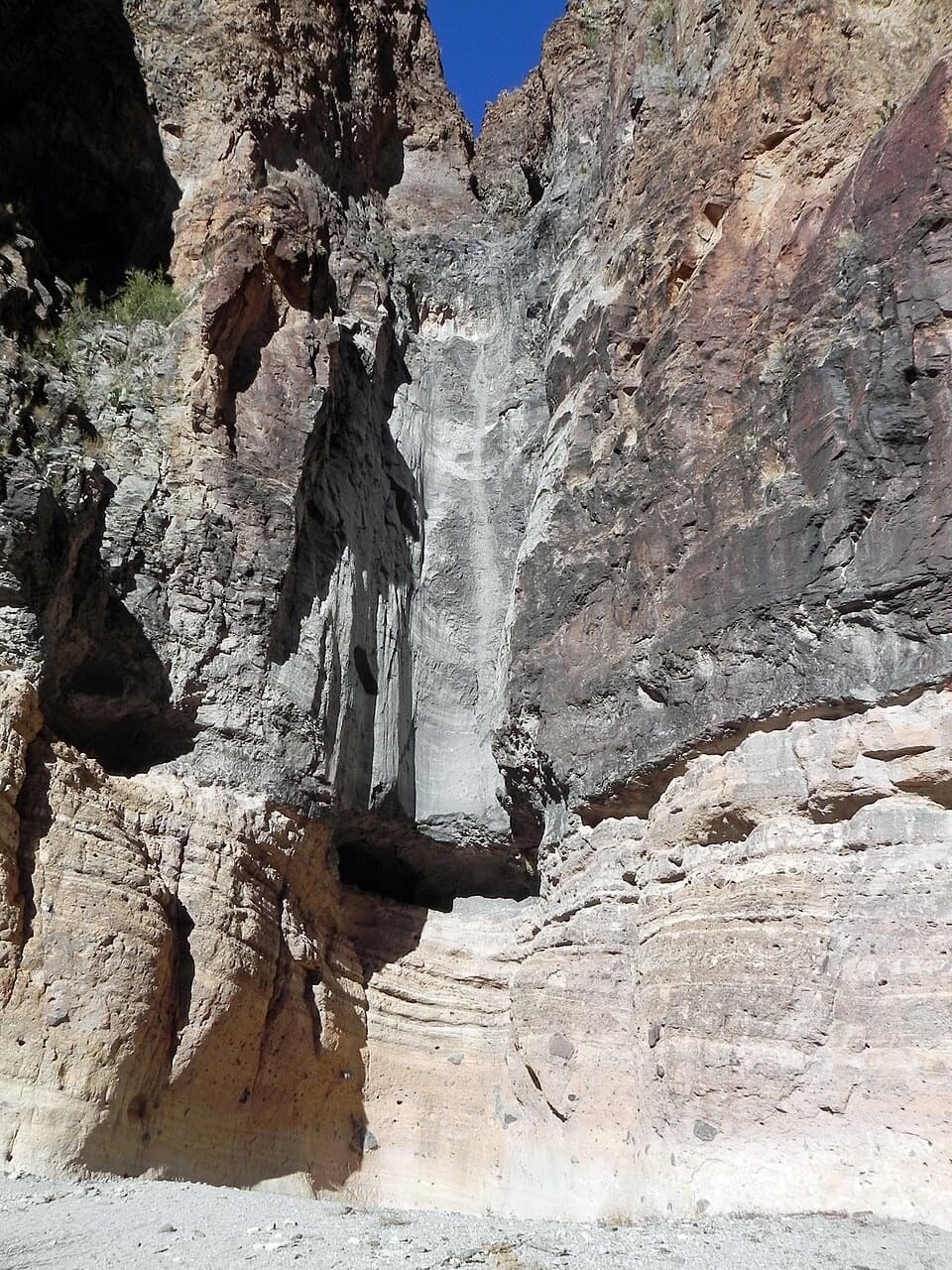 EasyLower Burro Mesa Pouroff Trail1 mi · 30 min · 5 mi awayA short wash walk to a 100-foot rock chute.
 EasyHomer Wilson Ranch Trail0.7 mi · 30 min · 5.3 mi awayA steep descent to the ranch line camp below the overlook.
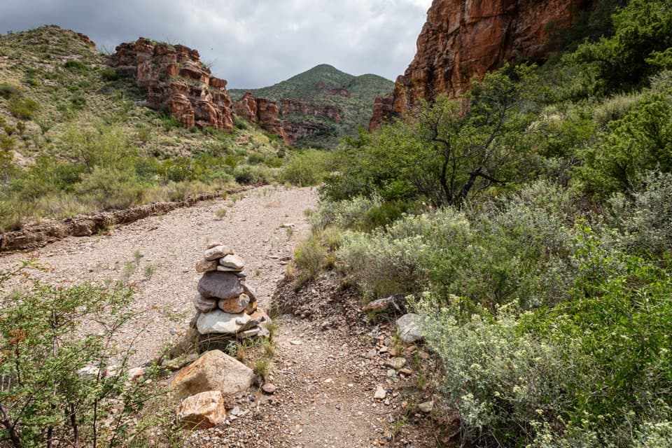 ChallengingBlue Creek Trail5.8 mi · 4 hr · 5.3 mi awayA red-rock wash walk with a hard climb into the Chisos.
 ChallengingSmoky Creek Trail16.3 mi · 10 hr · 5.3 mi awayA long, rough wash walk ending at the Mule Ears overlook.
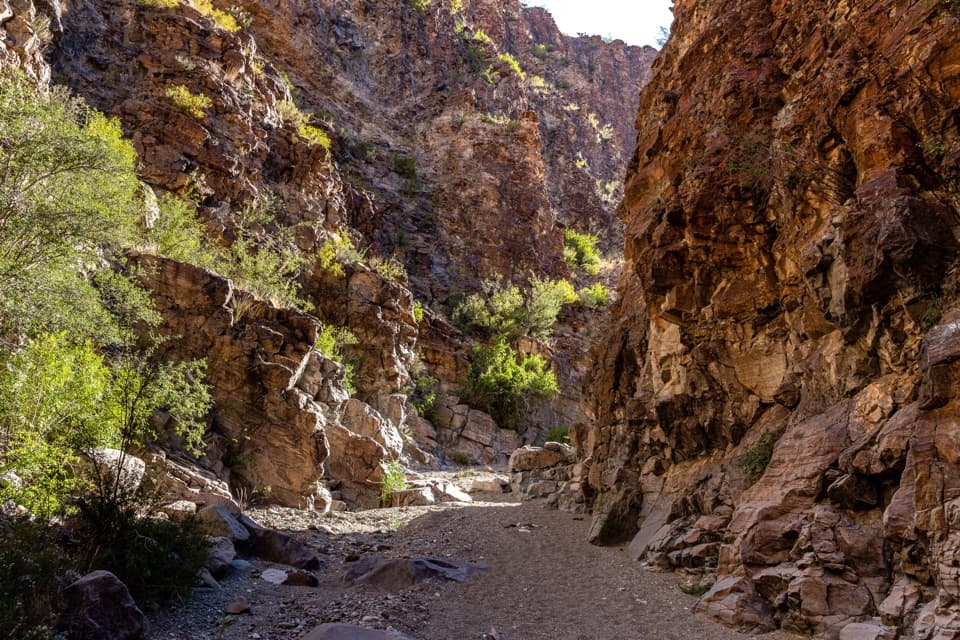 ModerateUpper Burro Mesa Pouroff Trail3.5 mi · 2.5 hr · 5.6 mi awayA sandy wash and boulder scrambles lead to a slick-rock grotto.
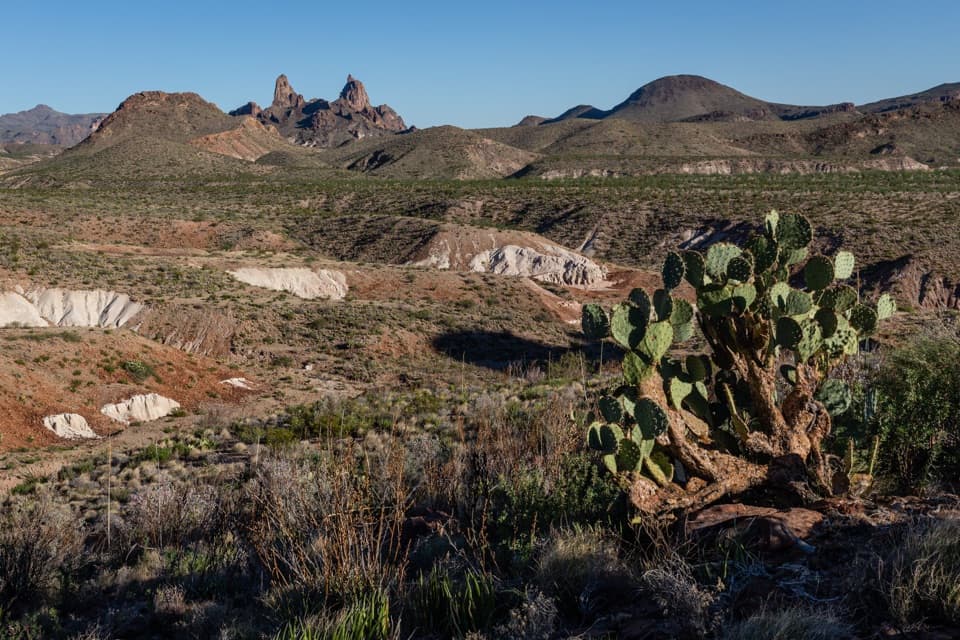 Sight · At the trailheadMule Ears OverlookPaired volcanic spires make this roadside detour worth a stop.
 Sight · 1 mi awayGoat Mountain Observation PointRead the volcanic story with the mountain in view.
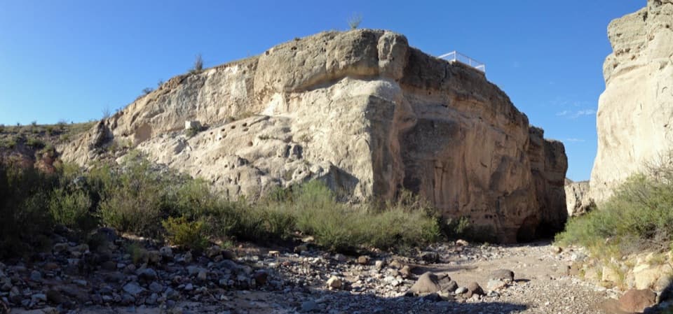 Sight · 3.3 mi awayTuff CanyonThree rim platforms reveal pale tuff and a deep, narrow canyon.
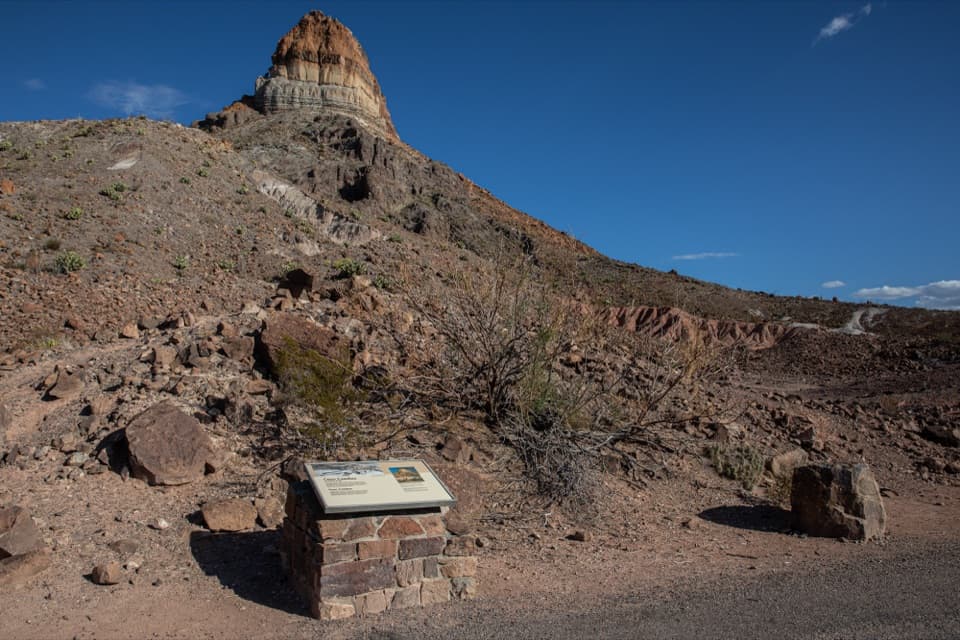 Sight · 4.3 mi awayCerro Castellan ExhibitA roadside geology lesson framed by a steep volcanic peak.
 Sight · 4.8 mi awaySotol VistaA west-side panorama with Santa Elena Canyon as a distant gap.Sight · 5.2 mi awayLower Burro Mesa PouroffA short wash hike ends beneath a 100-foot rock pouroff.
 Store · 5.3 mi awayLa Harmonita StoreCold drinks and practical supplies along the remote west side.
 Sight · 5.3 mi awayCastolon Historic DistrictA borderland history stop among Big Bend’s adobe buildings.
Parkwolf’s Big Bend ranking

The audio tour guide for the drive, plus offline maps, trails, and wildlife heatmaps for when the signal drops.