Pros & cons
PROS
- Huge, quiet Munro with sweeping summit panoramas
- Bikeable estate tracks shorten the long approach
CONS
- Very long day with exposure and little shelter
- Boggy stretches and faint paths can complicate navigation
Overview
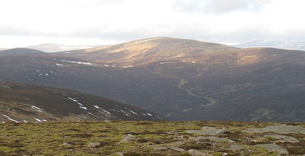
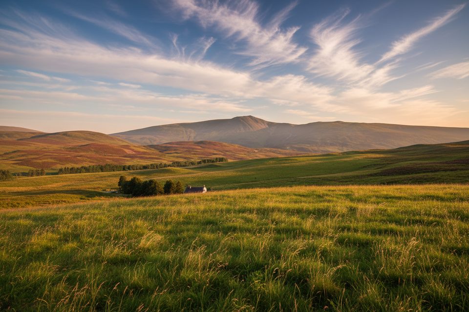
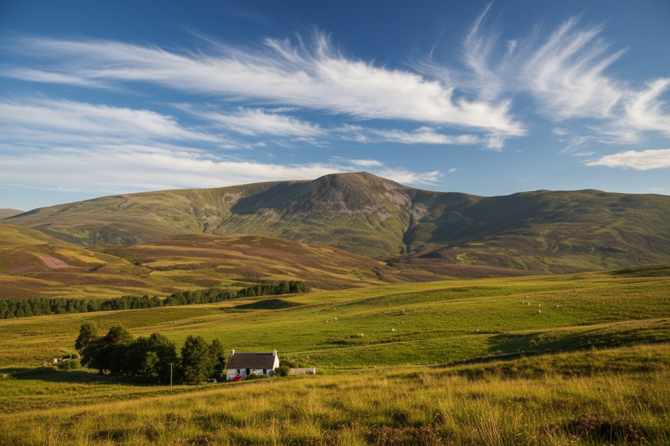
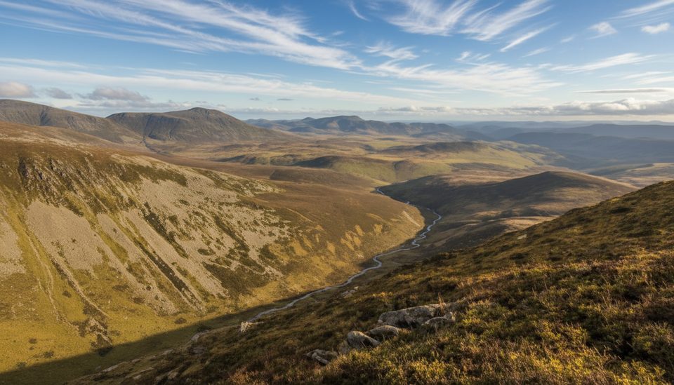
Beinn Dearg is a 1,008 m Munro north of Blair Atholl, prized for its remoteness, solitude, and big-sky feel. Expect a long approach through glens and tracks before the mountain opens into broad, rounded slopes leading to a granite-strewn summit.
What You'll See
- Expansive views from the top, with the high Cairngorms joining distant ranges on clear days.
- A distinctive, stony summit crowned by a large windshelter cairn enclosing a trig point.
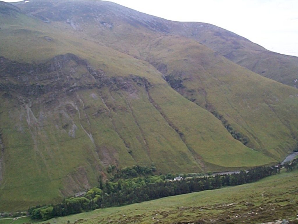
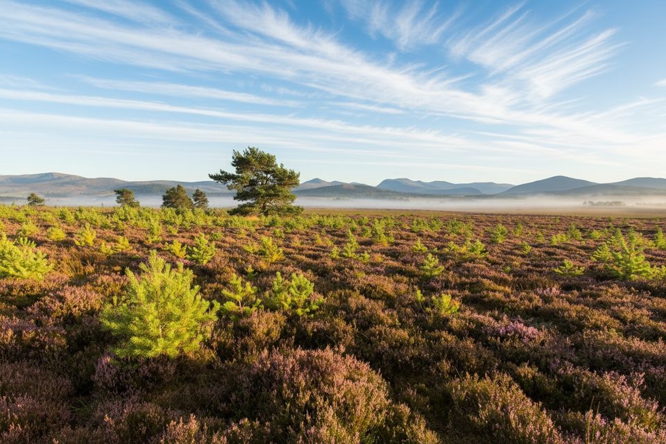
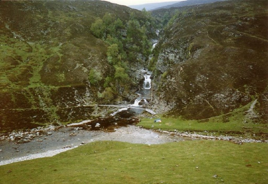
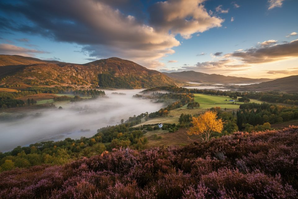
- Rolling moorland, glens, and a classic sense of Highland wildness along the way.
Route & Terrain
- Lower sections follow good estate/landrover tracks, transitioning to hill paths.
- Expect a very boggy stretch before gaining the broad ridge, then a stony, granite-dotted final ascent.
- A key cue on the standard line: at a small cairn on the shoulder, make a distinct 90° left turn to head NNW across the boggy ground toward the ridge—don’t drift onto the old line that skirts the summit.
- Distances commonly run 28–33 km round-trip with roughly 1,000 m ascent. Many people cycle in on the tracks to cut time and effort; there’s a simple bothy on the approach.
Difficulty & Who It’s For
This is a long, exposed day suited to experienced walkers and Munro-baggers who are comfortable with self-reliance, variable ground, and navigation on a broad plateau in poor visibility.
Wildlife
The open, upland setting supports classic Highland species—think red deer, mountain hares, and upland birds like grouse; keep an eye out for raptors on the thermals.
Best Time to Visit
Aim for clear-weather windows to unlock the extensive summit panorama. Summer often dries out the boggy bits, making the going easier. Start early: it’s typically an 8–10 hour outing, even with a bike assist.
Planning & Essentials
- Bring a map, compass, and GPS—paths can be faint and the summit plateau is broad.
- Waterproof boots (and gaiters if you like) for the boggy section; trekking poles help.
- Carry plenty of food and water; there are no on-hill facilities. Nearest services are in Blair Atholl.
Where it is
56.8772, -3.8838Tips for Beinn Dearg
- 01Bring a bike to speed up the long estate-track approach.
- 02At the shoulder’s small cairn, turn 90° left and head NNW across the bog.
- 03Start early—expect an 8–10 hour day even in good conditions.
- 04Wear waterproof boots; boggy stretches can linger after wet weather.
- 05Use village facilities before starting; there are no toilets on the route.
Amenities
Near Beinn Dearg
All places →All trails →
4.1 mi awayCàrn a' ChlamainRemote Munro with big Glen Tilt views and a bike-friendly approachTrailhead · Parking
5.1 mi awayCàrn an FhidhleirRemote Munro with big skies, solitude, and a long, boggy approach
5.3 mi awayRiver TiltRiverside glen walk with cascades, big views, and frequent wildlifeTrailhead · Parking
5.7 mi awayGlen TiltLong, river-cut glen to remote Falls of Tarf by bike or footTrailhead · Parking
7.3 mi awayGlen Tilt CircuitWaymarked river-and-glen loop with big-mountain views and history.Moderate · 15 mi · 7 hr
7.3 mi awayCarn a' Chlamain from Blair AthollLong, straightforward Munro via Glen Tilt to a bouldery summitModerate · 16 mi · 7 hr
7.3 mi awayGlen Tilt to Falls of TarfLong glen journey to a dramatic Highland waterfall and footbridgeModerate · 25 mi · 10 hr
14 mi awayFalls of Truim PathShort riverside wander to a lively Highland waterfall and old bridgeEasy · 1.2 mi · 45 min