
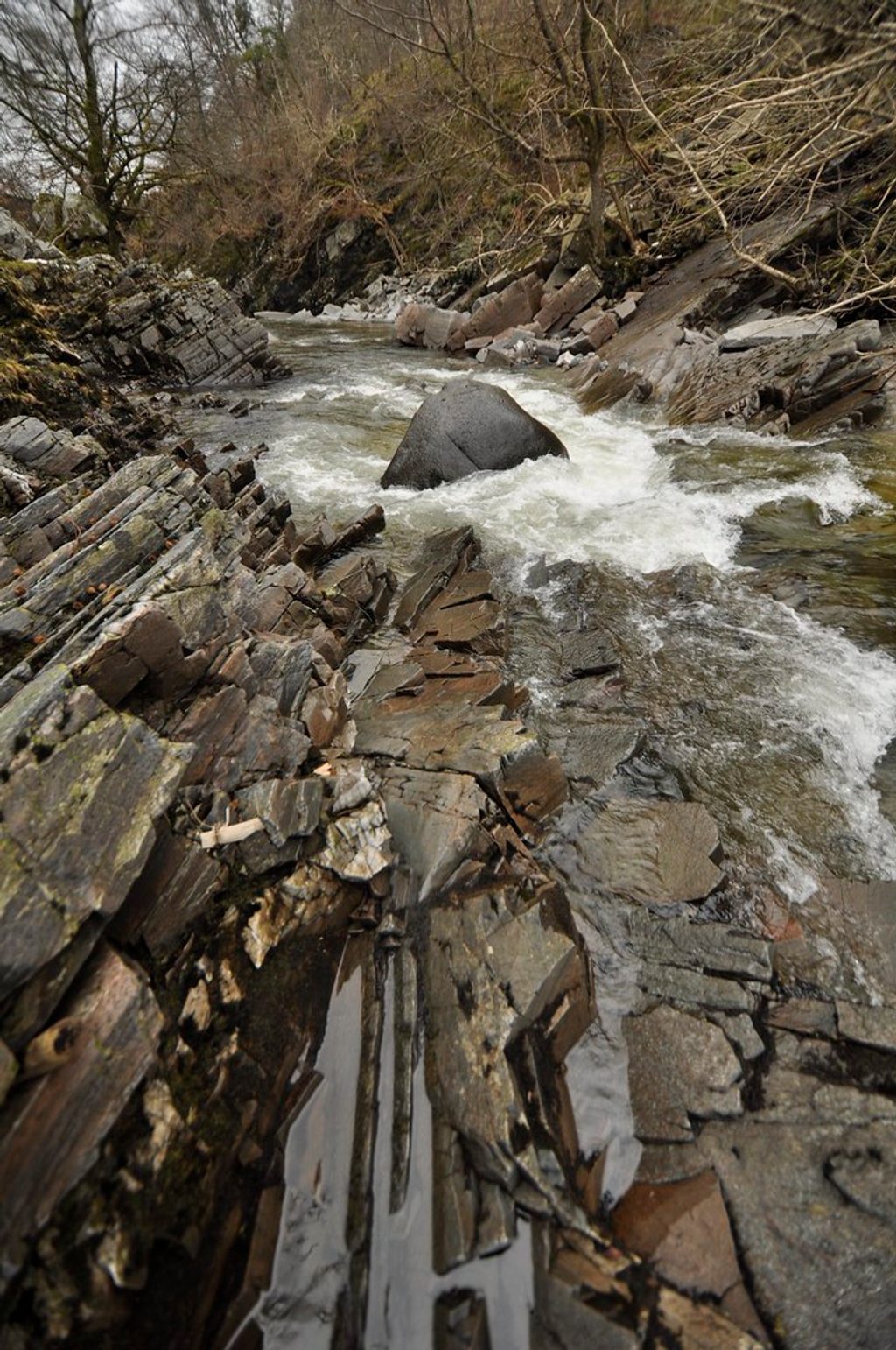
Place · 1.7 mi away
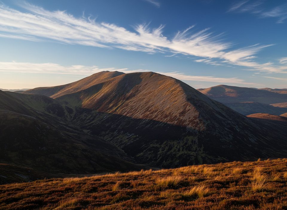
Càrn nan Gabhar is the highest of the three Munros on the Beinn a’ Ghlò massif, rising to 1,121.9 m. It’s a classic big-day objective for Munro-baggers, delivering far-reaching views and a strong sense of wild, open country.
There’s a trig point on the broad top, but the actual highest point is a cairn about 200 m to the northeast and roughly 2 m higher. If you’re collecting summits, make sure you tag the cairn, not just the trig.
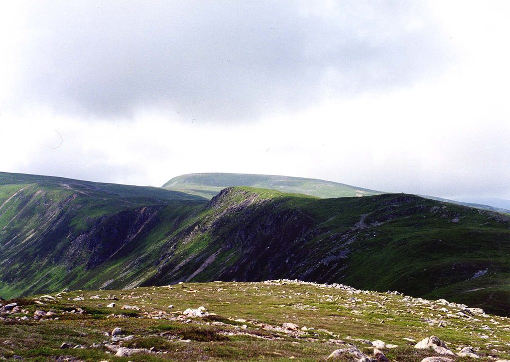
On a clear day you get wide panoramas across the Cairngorms and over to the Glen Shee hills, plus a dramatic look down into Glen Loch. Neighboring summits—Càrn Liath and Bràigh Coire Chruinn-bhalgain—frame the massif if you’re doing the full round.
Most walkers start from Loch Moraig near Blair Atholl and link all three Munros. It’s a long outing (often 8+ hours) with stony ground high up and boggier sections lower down, especially after rain. Expect full exposure to wind and weather on the ridges and plateaus.
These hills can reward a patient eye: red deer on the slopes, mountain hares, ptarmigan and grouse in the high ground, and the occasional golden eagle overhead.
Pick a settled, clear-weather day for the views and safer navigation. Start early—this is a full-day effort—and the informal parking at Loch Moraig is limited. Longer summer daylight helps, but conditions can change quickly year-round.
There are no built facilities on the hill or at the informal Loch Moraig start—no restrooms, shelters, or services—so arrive prepared and self-sufficient.
Place · 1.7 mi away
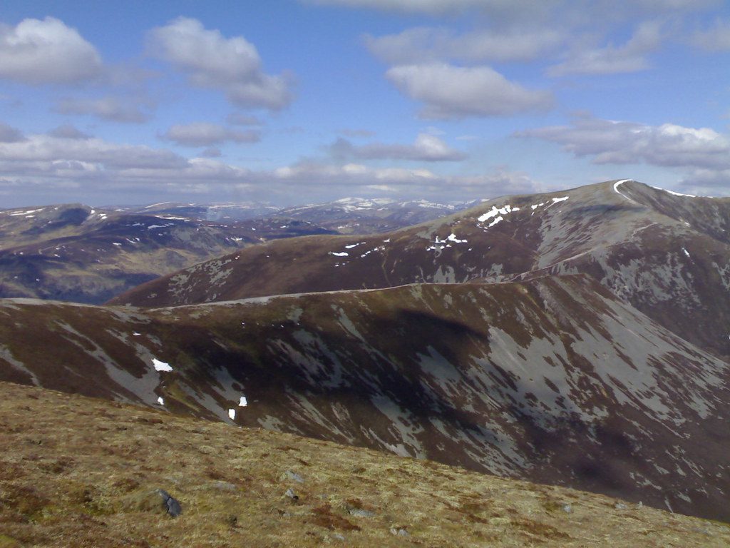
Place · 2 mi away
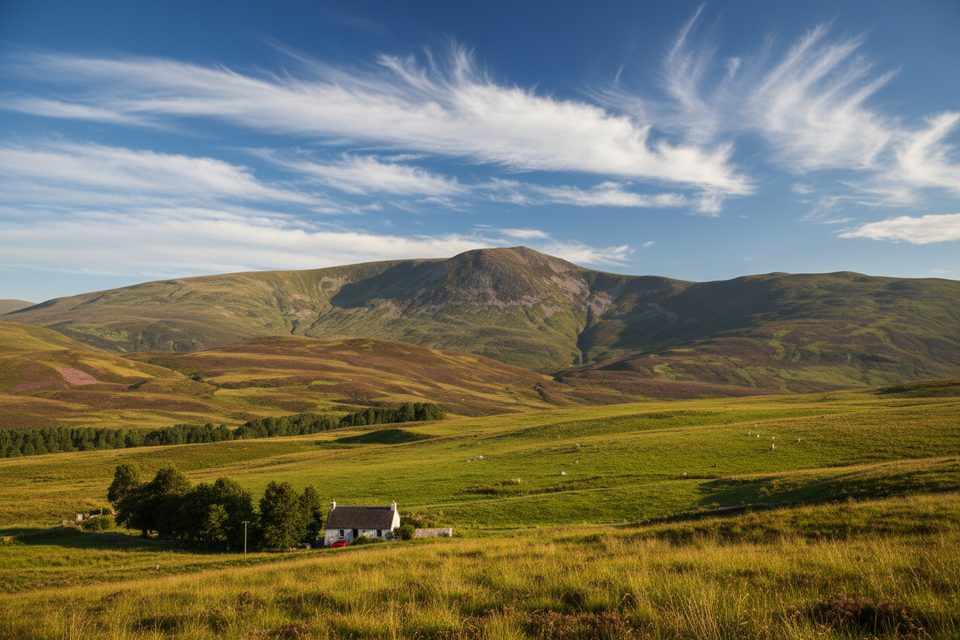
Place · 3.1 mi away
Place · 4.7 mi away
Moderate · 6.3 mi away
Moderate · 6.3 mi away
Moderate · 6.3 mi away
Moderate · 12 mi away

Parkwolf Tour Guide
