Pros & cons
PROS
- Wild, tranquil loch reached by a straightforward track from Auchallater
- Callater Stable bothy offers basic shelter and a dry toilet
CONS
- Very exposed with little shelter from wind, sun, or rain
- Minimal facilities and a paid estate car park at the start
Overview
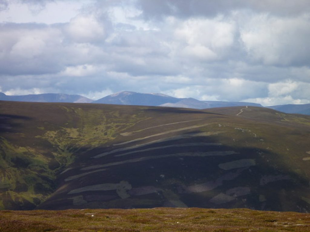
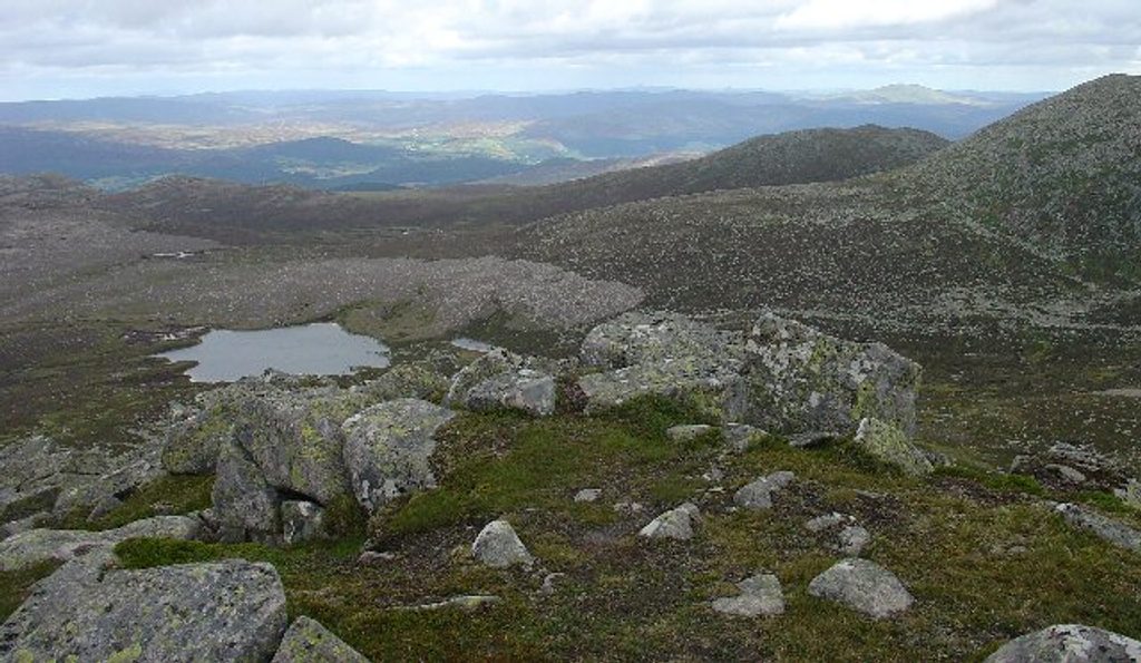
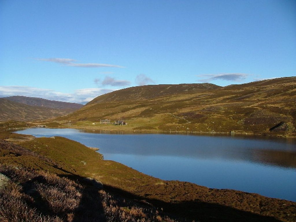
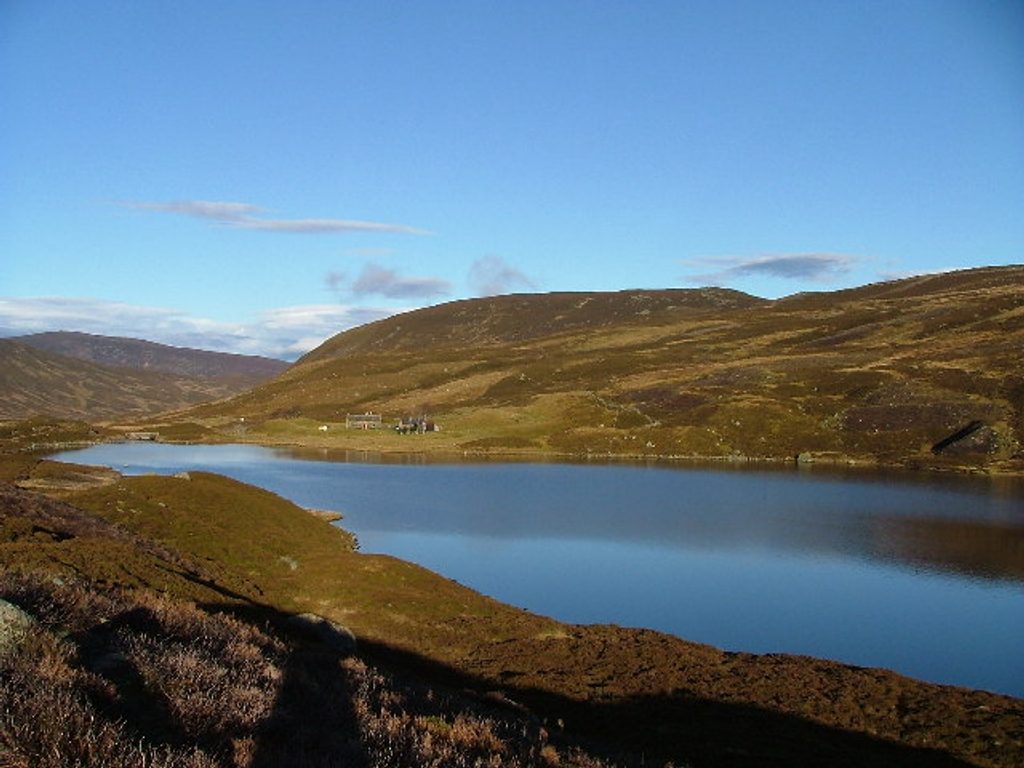
A classic upland loch about 8 km south of Braemar, Loch Callater sits in a steep‑sided glen that feels properly wild and remote despite the straightforward approach. It’s long, narrow, and hemmed in by hills—big views the whole way.
Getting there
Most people start at the paid car park by Auchallater and follow the estate track signed as the public path to Clova (Jock’s Road). It’s around 5 km to the loch with roughly 130 m of ascent on a clear, easy‑to‑follow track beside the Callater Burn.
What you’ll see
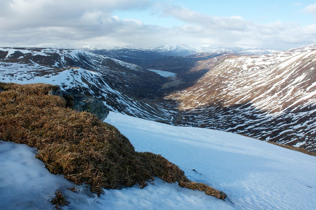
Expect a dramatic Highland scene: a glacially carved valley, steep hills on both sides, and a long freshwater loch aligned northwest–southeast. The path runs to the north end and continues along the shore, giving you ever‑changing perspectives without technical terrain.
Activities
- Walking: A rewarding out‑and‑back to the loch, or use it as a springboard for bigger hill days.
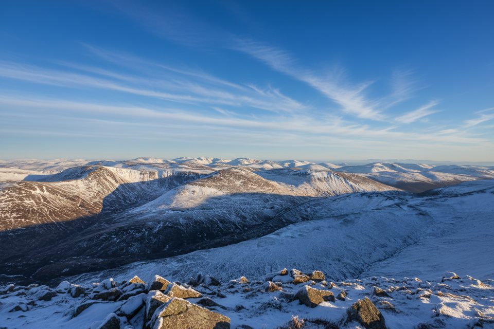
- Bigger days: From the loch, strong hikers link remote Munros like Carn an t‑Sagairt Mòr, Lochnagar, Tolmount, and Tom Buidhe.
- Fishing: Trout, salmon, eels, and perch are present; a permit is required if you plan to fish.
Facilities
Facilities are sparse by design. At the loch’s north end, Callater Stable bothy provides basic shelter and a dry toilet. Otherwise, there are no services—bring everything you need. Parking (for a fee) is at Auchallater; there’s no public transport to the trailhead.
History
You reach Loch Callater via Jock’s Road, a historic drovers’ route with a celebrated place in Scotland’s access rights story following 19th‑century legal battles. A visit here blends big scenery with a slice of outdoor heritage.
Conditions to expect
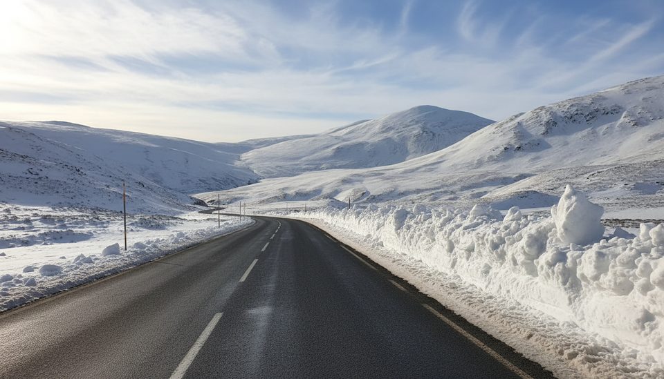
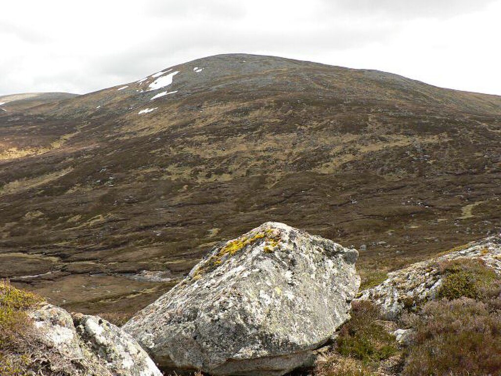
This is exposed country with little natural shelter. On windy or hot days you’ll feel it. The main track is good underfoot but becomes a narrower path along the loch, and surrounding terrain is open moor and hill.
Best times to visit
- Fair, settled weather is best given the exposure.
- It’s quieter midweek; expect more walkers on fine‑weather weekends and holidays.
- Start early if you’re planning onward Munros or a longer traverse; the distances add up quickly.
Where it is
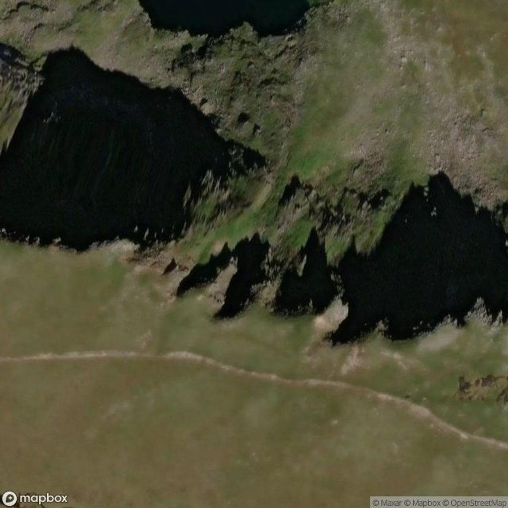
56.9405, -3.3434Tips for Loch Callater
- 01Park at Auchallater and follow signs for the public path to Clova (Jock’s Road).
- 02Carry layers, windproofs, and sun protection—the glen is very exposed.
- 03Bring all food and water; beyond the bothy’s dry toilet there are no services.
- 04If you plan to fish, sort your permit in advance.
- 05Keep dogs on a lead near livestock and ground‑nesting birds.
Amenities
Near Loch Callater
All places →All trails →
1.6 mi awayCàrn an t-Sagairt MòrRemote White Mounth Munro with wild views and a sobering summit relic
1.8 mi awayCreag nan GabharHeather-clad Corbett with big views over Glenshee and Loch CallaterTrailhead · Parking
2.3 mi awayCàrn an TuircQuick Munro with big views and easy multi-peak linkupsTrailhead · Pullout
3 mi awayLochnagarClifftop Munro with a dark corrie, big views and royal loreTrailhead · Parking
3.1 mi awayThe Stuic on LochnagarQuiet granite scramble to wild lochans and big Lochnagar viewsChallenging · 13.5 mi · 8 hr
3.1 mi awayLoch Callater CircuitCairngorms loch circuit with big views, a bothy, and a cheeky fordEasy · 7.5 mi · 4.5 hr
3.1 mi awayGlen Callater and Loch CallaterQuiet glen stroll to a photogenic Highland loch on Jock’s RoadEasy · 6.8 mi · 3 hr
4.6 mi awayGlas Maol and Creag Leacach from Cairnwell PassTwo Munros, big skies, and a breezy ridge from Cairnwell Pass.Moderate · 8 mi · 5.5 hr