
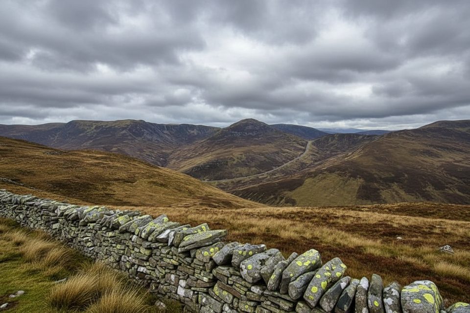
Place · 2.8 mi away
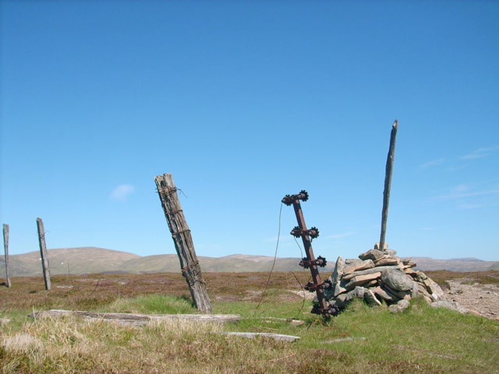
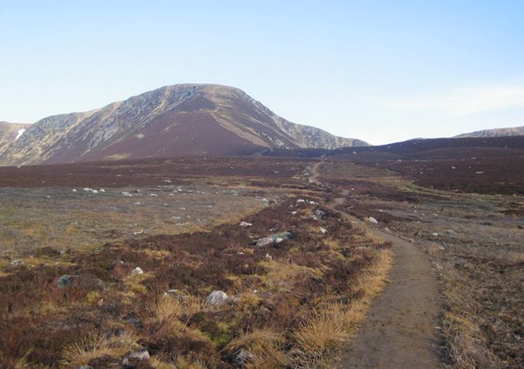
Monamenach is a rounded, heathery Corbett (807 m) on the watershed between Glen Isla and Glenshee, sitting on the southern edge of the park. Its Gaelic name translates to “Middle Hill,” a nod to its position between the two glens. Expect an unfussy hillwalk with broad, open slopes and a surprisingly big view for the effort.
From the top, the view sweeps down Glen Isla and north to the higher Glenshee peaks. The approach traverses open moorland with sparse lower woodland, while the Glen Isla side hides craggier flanks that add some drama to the otherwise rounded profile.
The favored start is at Auchavan at the head of Glen Isla. The ascent follows estate/ATV tracks and then open, heathery slopes. It’s one of the shorter Corbett days, but it’s still a proper hill: steep in places, rough underfoot, and committing in bad weather. If you want a big day out, it links naturally with Glas Maol and Creag Leacach for a demanding 21.2 km circuit with 1,209 m of ascent.
Typical upland life thrives here: red grouse and mountain hares on the heather, red deer moving through the glens, and raptors like buzzards (and possibly eagles) quartering the slopes. Keep your eyes up as you gain the ridge.
This is a wild hillwalk with no developed facilities: no restrooms, water points, food, or stores. Parking is informal near the start, and there’s no public transport to Auchavan—plan to drive. Carry full hill gear, food, and water, and be ready for wet, rough ground. OS Landranger 43 or Explorer OL52 are the recommended maps.
Near the broad, rounded top, features fade and the terrain becomes a navigational test in clag. A map and compass (and the skills to use them) are essential. Weather turns quickly here; waterproofs and warm layers are non‑negotiable.
Pick a clear, settled day to cash in the views. This Corbett is generally quieter than the nearby Munros, so crowding isn’t the issue—the weather is. The short ascent also makes it a good target when daylight is limited, provided conditions are safe.
Place · 2.8 mi away
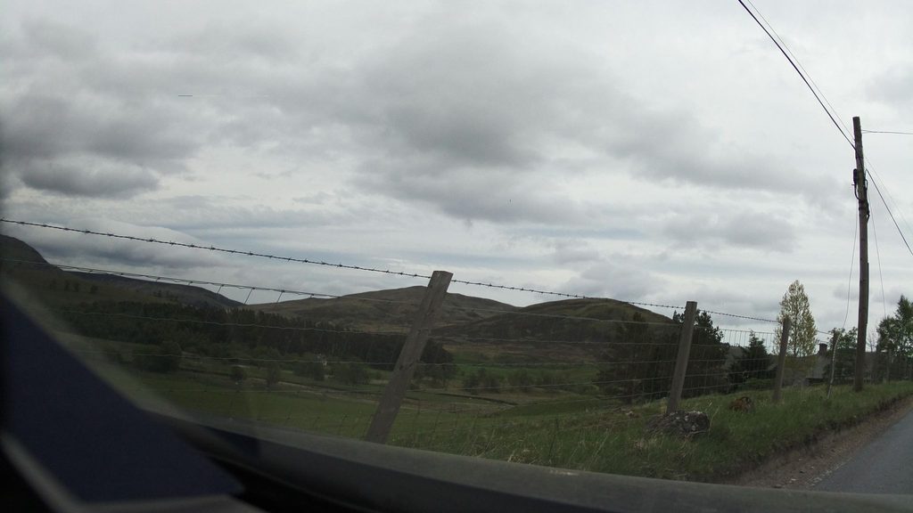
Place · 3.2 mi away
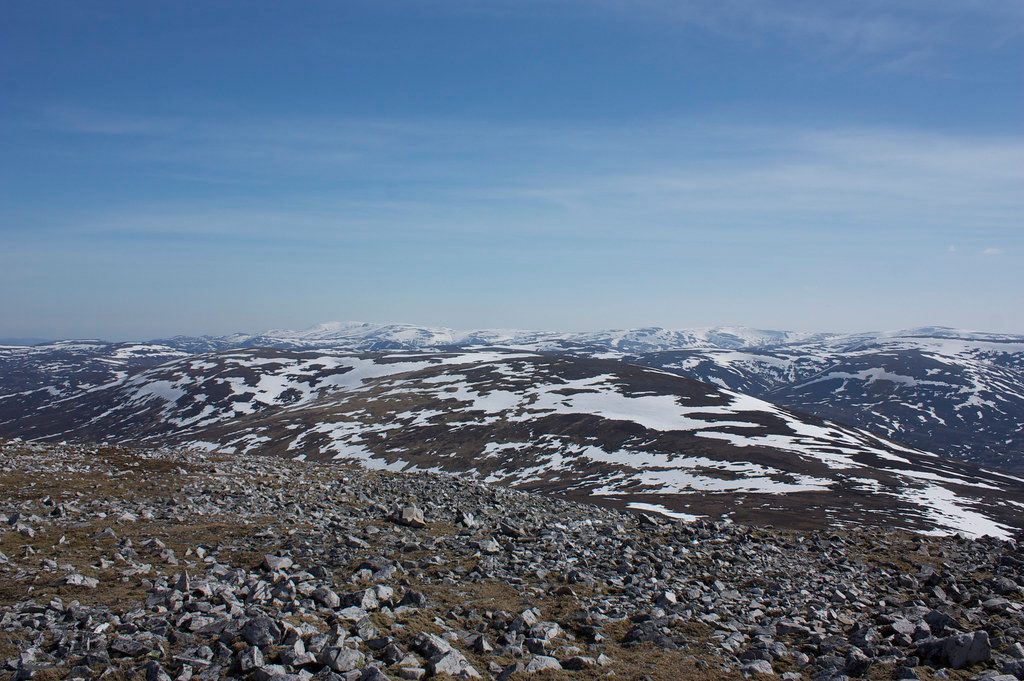
Place · 3.8 mi away
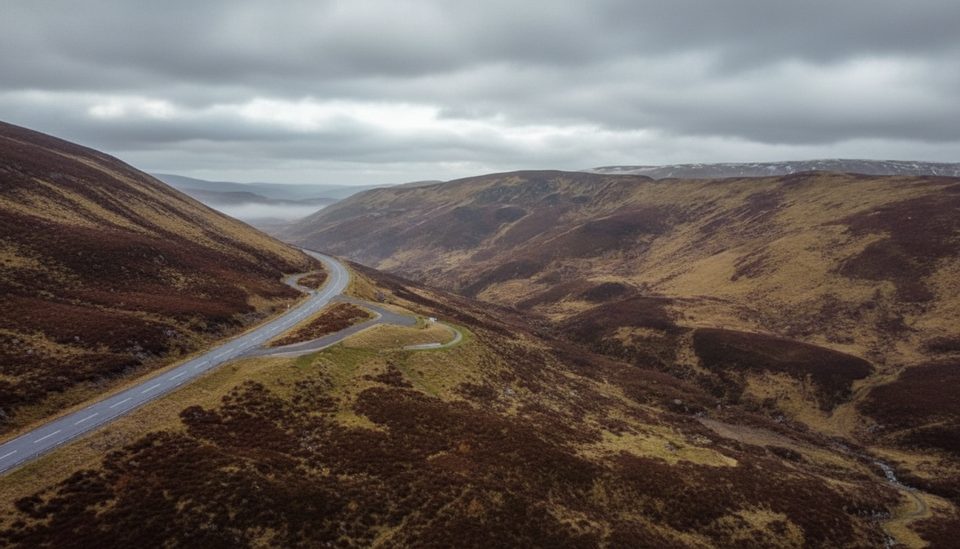
Place · 3.9 mi away
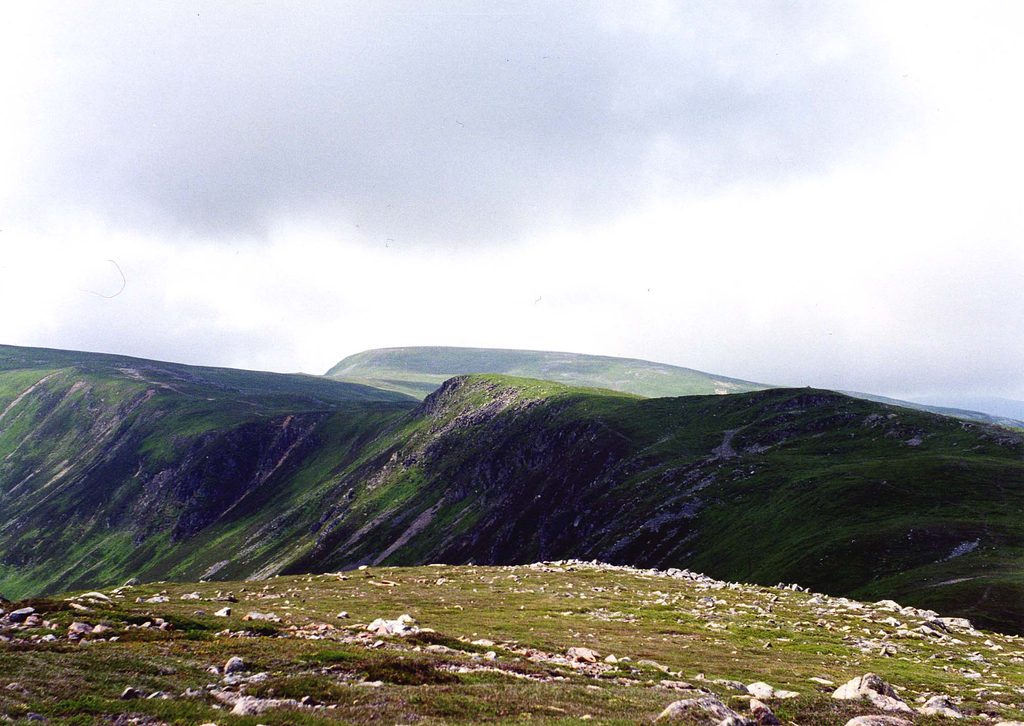
Moderate · 5.2 mi away
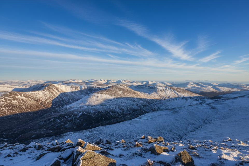
Moderate · 5.2 mi away
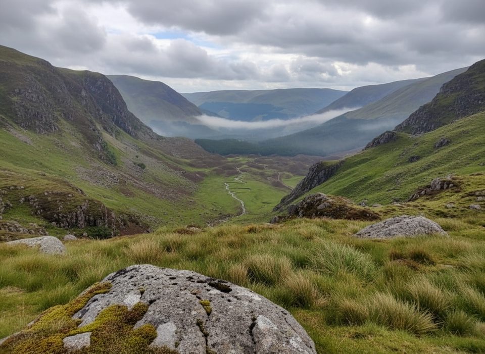
Moderate · 7.5 mi away
Moderate · 9.5 mi away

Parkwolf Tour Guide
