Parking
Use the public car park just over the bridge toward Glen Doll at Milltown of Clova; Glen Clova Hotel’s spaces are for patrons. From there, take the short approach to the signed hillside path.

#19 of 260 trails in Cairngorms
Cairngorms National Park, SC
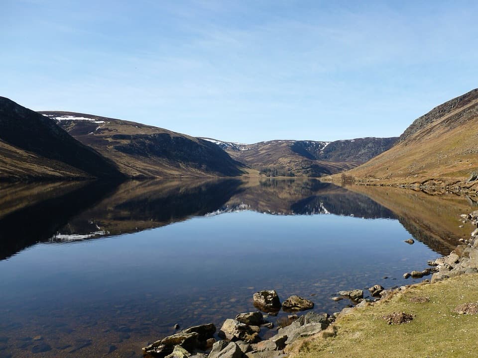
A steep climb to a dark loch beneath a rocky corrie.
Overview
Map & elevation
Plan your hike

The highest, rockiest slopes around here are a summer buffet for grizzly bears.
Cairngorms Tour Guide
Parkwolf is a GPS audio tour guide for Cairngorms National Park. As you drive, it chimes in with what’s ahead: hidden gems, upcoming stops, history, geology, and wildlife, right through your car’s speakers.
See the Cairngorms audio tourRecorded for this trailhead
Loch Brandy from Milltown of Clova“Milltown of Clova is coming up, the start of the steep walk to Loch Brandy, tucked beneath crags high above the glen.”
Plays as you drive up to this trailhead in the Parkwolf Cairngorms Tour Guide.
More stories near here in the app
“Fantastic app with many points of information… It’s great to just turn on while you’re driving and it gives you an audio tour of the national Park. We love it!!!!”


Trail guide
Loch Brandy Trail is a steep 3.3-mile out-and-back from Milltown of Clova to a high corrie loch beneath Green Hill’s rocky slopes. Allow about three hours, including the short walk from the public car park to the signed hillside path. The climb gains roughly 400 metres in a little over a mile and a half, so the distance makes this sound easier than it feels. Go for a proper hill walk and a dramatic enclosed basin, not a gentle stroll beside the water.
Use the public car park just over the bridge toward Glen Doll at Milltown of Clova; Glen Clova Hotel’s spaces are for patrons. Walk toward the hotel and follow the Loch Brandy sign from the buildings. The path passes the bunkhouse and cabins, crosses a footbridge and gate, then leaves the trees for open hillside. A rough track branches left early on; stay with the signed path.
The gravel path gains height quickly. It is a well-built line on steep ground, but it remains rough underfoot and exposed once you leave the trees. Pause to look back over Glen Clova and the hotel; the rocky prow of Laird’s Chamber rises to the left. Farther up, the route follows the burn toward the corrie. The gradient eases in places away from the water, but the climb keeps coming until the loch appears ahead.
Loch Brandy sits close to 610 metres above sea level, tucked into steep, craggy walls. The main path reaches the south shore and this short route turns back. Small paths beside the water offer a closer look at the rocky shallows and the wide curve of the basin; take care on uneven ground at the edge. Look across the loch for the submerged arc known as the Causeway, thought to be a glacial moraine. Small fish can sometimes be seen in the shallows.
Retrace the same path to Milltown. The descent is still steep, and the gravelly surface can be hard on knees, so save time and energy for coming down. This walk does not climb The Snub or Green Hill. Those are longer, steeper extensions; beyond Loch Brandy, paths are not waymarked and lead into remote hill country. If you want the short corrie walk, turn around at the loch rather than following faint tracks farther uphill.
Dogs are welcome under Scotland’s outdoor access rules, but signs at the start ask for leads; this is grazing country, so keep dogs close and under control. No drinking-water point was identified on the route, so carry what you need from the start. Glen Clova Hotel is beside the access and has a bar and restaurant for a separate stop after the walk; check current opening before relying on it.
Wildlife
 159 sightingsRed DeerMost seen around 7 AMSighting map
 63 sightingsReindeerMost seen around 6 PMSighting map
 102 sightingsOspreyMost seen around 5 PMSighting map
 37 sightingsBlack GrouseMost seen around 4 AMSighting map
 72 sightingsRed GrouseMost seen around 6 PMSighting map
 82 sightingsPine MartenMost seen around 9 PMSighting map
Sighting maps show where each species has been reported across Cairngorms. Wildlife moves, so no sighting is guaranteed.
Keep exploring
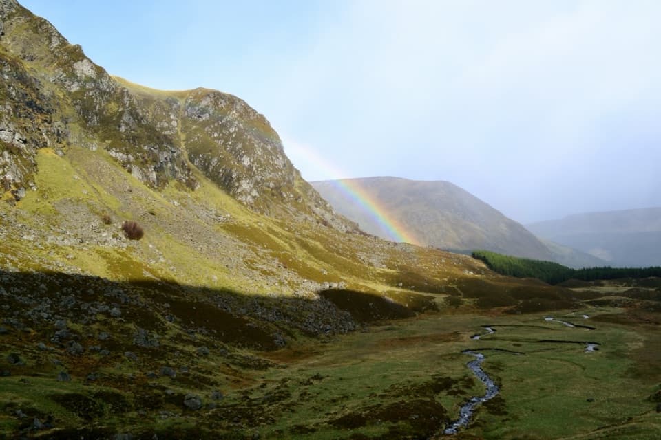 ChallengingMayar and Driesh Circuit15.4 km · 6 hr · 5.2 km awayTwo Munros by a glacial corrie, waterfall, and open plateau
 ModerateWhite Water Trail4 km · 1.5 hr · 5.2 km awayA short riverside loop crossing a footbridge in Glen Doll.
 ModerateDounalt Trail8.4 km · 3 hr · 5.3 km awayFollow White Water through larches, then return along Jock’s Road.
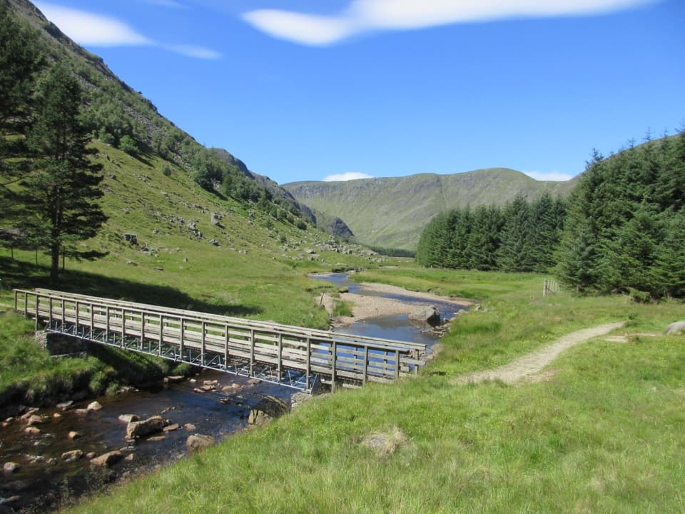 ModerateSouth Esk Trail3.4 km · 1 hr · 5.3 km awayA short loop beside the South Esk, with open Glen Clova views.ModerateCorrie Fee Trail7 km · 2.5 hr · 5.3 km awayA steady climb opens onto a glacial bowl and waterfall.
 ModerateKilbo Path7.5 km · 4 hr · 8.3 km awayA high glen-to-glen pass with a faint line across the plateau.
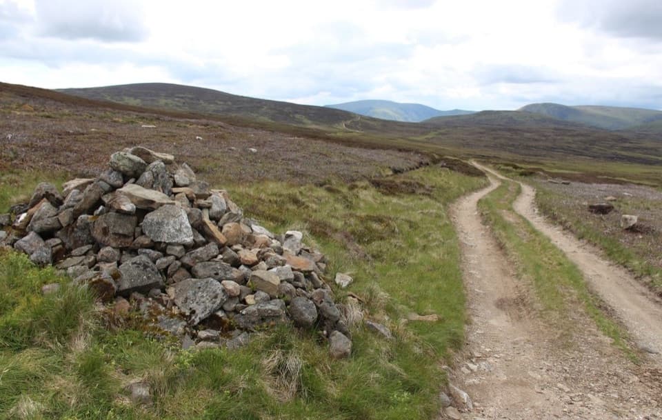 ModerateCapel Mounth10.5 km · 3.5 hr · 12.2 km awayA high old pass linking Loch Muick with Glen Clova.
 ModerateLoch Muick Circuit12.5 km · 4 hr · 12.2 km awayA long lochside loop past Queen Victoria's quiet retreat.
 Sight · 2.6 km awayLoch BrandyA high corrie loch worth the steep climb from Glen Clova.
 Visitor center · 5.3 km awayGlen Doll Ranger BaseGlen Doll’s ranger base for forest walks and the Corrie Fee route.
 Sight · 7.6 km awayCorrie FeeA long forest walk opens onto an ice-carved mountain bowl.Sight · 10.8 km awayLoch MuickA mountain loch with a full shore circuit and a royal retreat.
 Visitor center · 12.1 km awaySpittal of Glen Muick Visitor CentreA handy information stop before walking up Glen Muick.
 Sight · 13.5 km awayQueen’s WellWalk 8 km to a stone crown built for Queen Victoria.
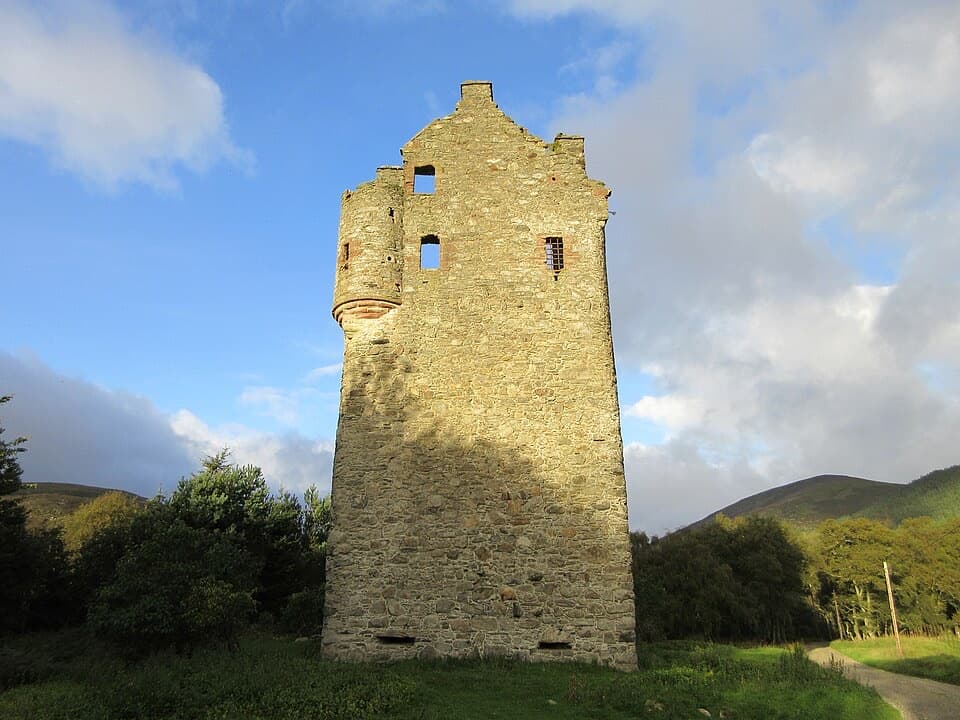 Sight · 13.6 km awayInvermark CastleA roofless Lindsay tower adds history to the Loch Lee walk.
 Sight · 14 km awayLoch LeeA quiet lochside walk with falls and a longer hill circuit.
Parkwolf’s Cairngorms ranking

The audio tour guide for the drive, plus offline maps, trails, and wildlife heatmaps for when the signal drops.




