
Place · 0 mi away
Challenging
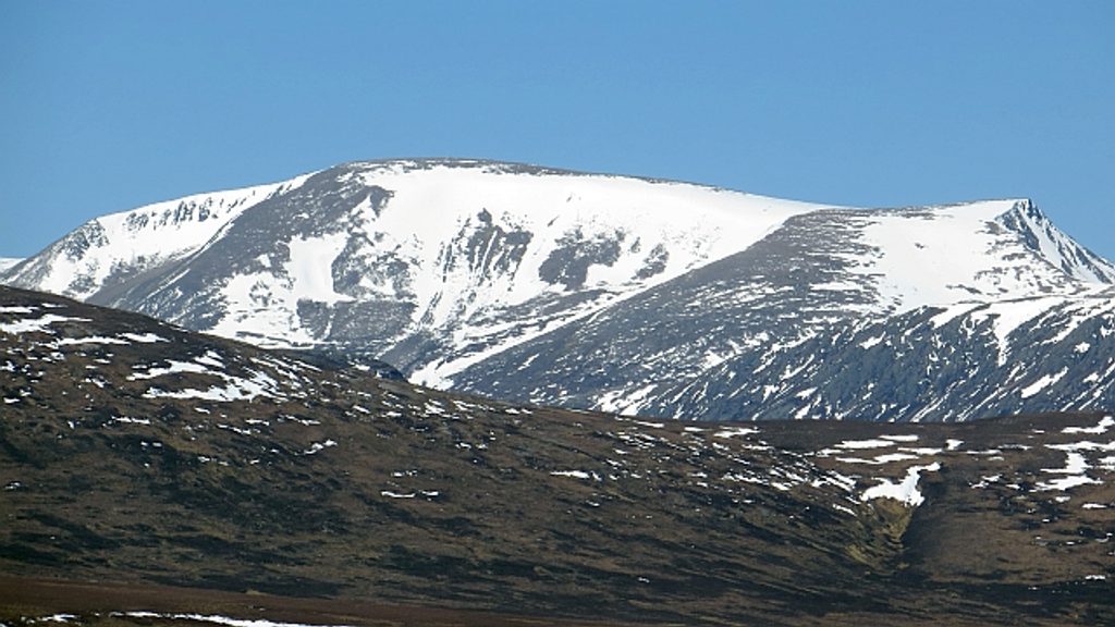
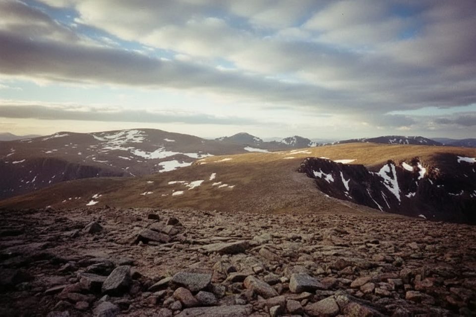
This is the classic high-mountain day to Ben Macdui across the Cairngorm Plateau—serious, exposed, and unforgettable when the weather plays nice. Starting and finishing at the Cairngorm Mountain Ski Centre car park, you’ll climb onto one of Britain’s largest, most featureless uplands, then stride the broad, arctic-like plateau to Ben Macdui, Scotland’s second-highest summit. Expect boulderfields, tundra vibes, and long views—if the cloud stays off the tops.
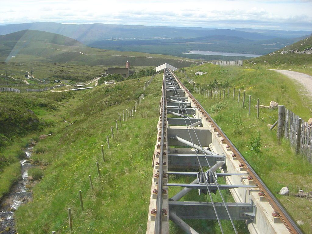
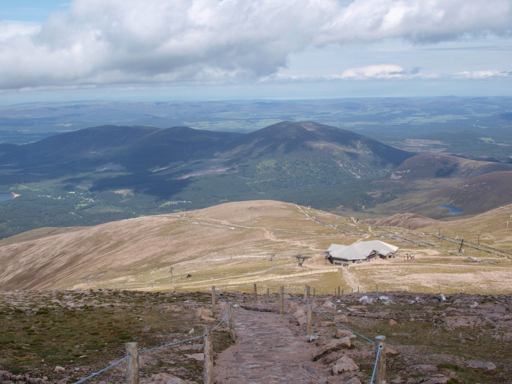
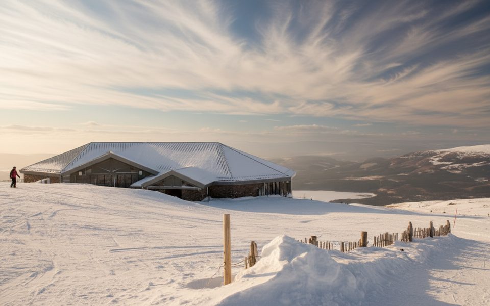
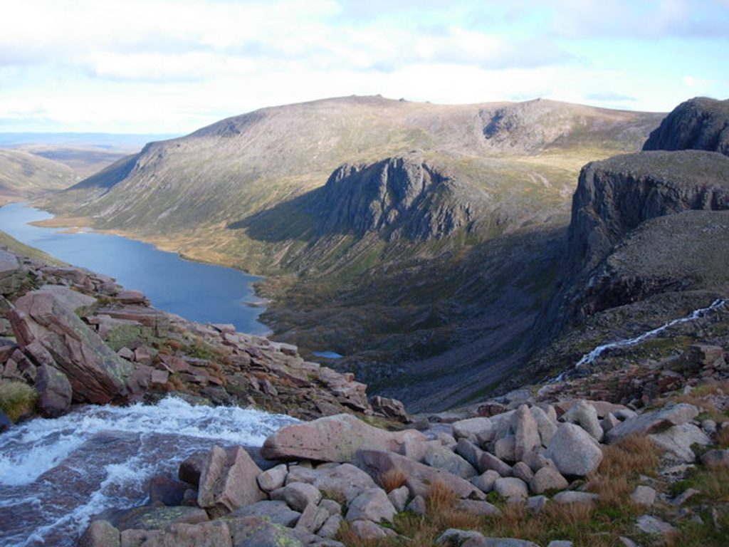
Plan on roughly 12.5 miles (20 km) total. Most hikers do this as an out-and-back from the ski centre, though confident navigators often turn it into a bigger circuit, sometimes tagging Cairn Gorm on the return. Early on, you’ll skirt the funicular and briefly cross ski infrastructure before the real mountain walking begins. Once on the plateau, a clearer line leads toward Ben Macdui, but many choose to leave it for quieter ground and broader panoramas. Look for Lochan Buidhe on the way and, near the edge of the plateau, a superb vantage over the trench of the Loch Avon basin. On the summit, you’ll find a trig point and a standing stone indicating nearby peaks.
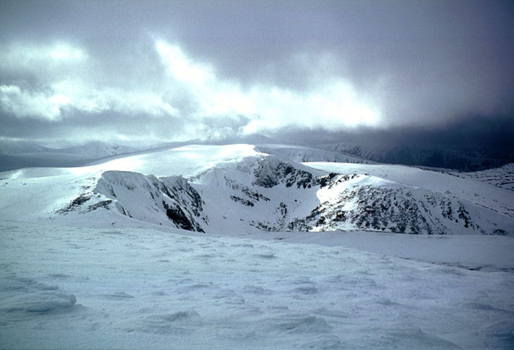
Wild and committing. The Cairngorm Plateau is infamous for exposure and minimal landmarks—glorious in clear weather, serious in clag. In good visibility, the space and scale are huge, with sweeping views across the Cairngorms and, on clear days, down toward the River Dee.
Make no mistake: this is a hard mountain outing due to length, elevation gain, exposure, and navigation. In mist, snow, or high wind the featureless terrain can turn disorienting very quickly. Winter conditions bring avalanche risk and whiteouts—only go then if you have the skills and kit (ice axe, crampons) and know how to use them.
Late spring through early autumn is your best bet for longer daylight and friendlier conditions, though summer still demands full mountain gear. In winter or during storms, give it a miss unless you’re highly experienced. If the ski area is active, expect a busy start near the funicular, but you’ll lose the crowds once you’re on the plateau.
If you want a big, committing day with huge horizons and a true sense of Scottish mountain wildness, this is your outing. If you’re looking for waymarked paths and easy nav, pick something lower and more sheltered.
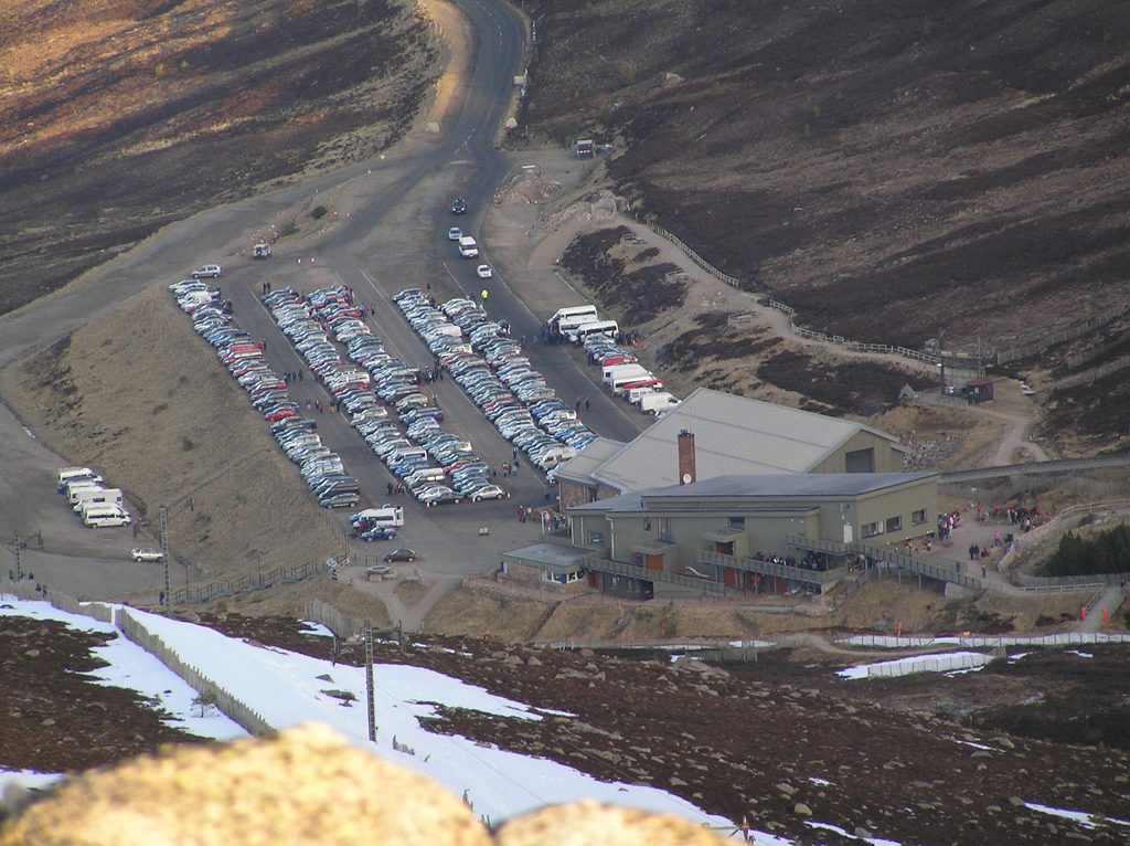
Park at the Cairngorm Mountain Ski Centre car park (Coire Cas); large lot with toilets and a café at the base station.
Highly exposed, featureless plateau; rapid weather changes and poor visibility create serious navigation hazards. Winter adds whiteout and avalanche risk. Carry map, compass, GPS, full mountain layers, and be ready to turn back.
Place · 0 mi away
Place · 0.1 mi away
Place · 1.2 mi away
Place · 1.2 mi away
Challenging · 0 mi away
Challenging · 0 mi away
Challenging · 0 mi away
Challenging · 0 mi away

Parkwolf Tour Guide
