
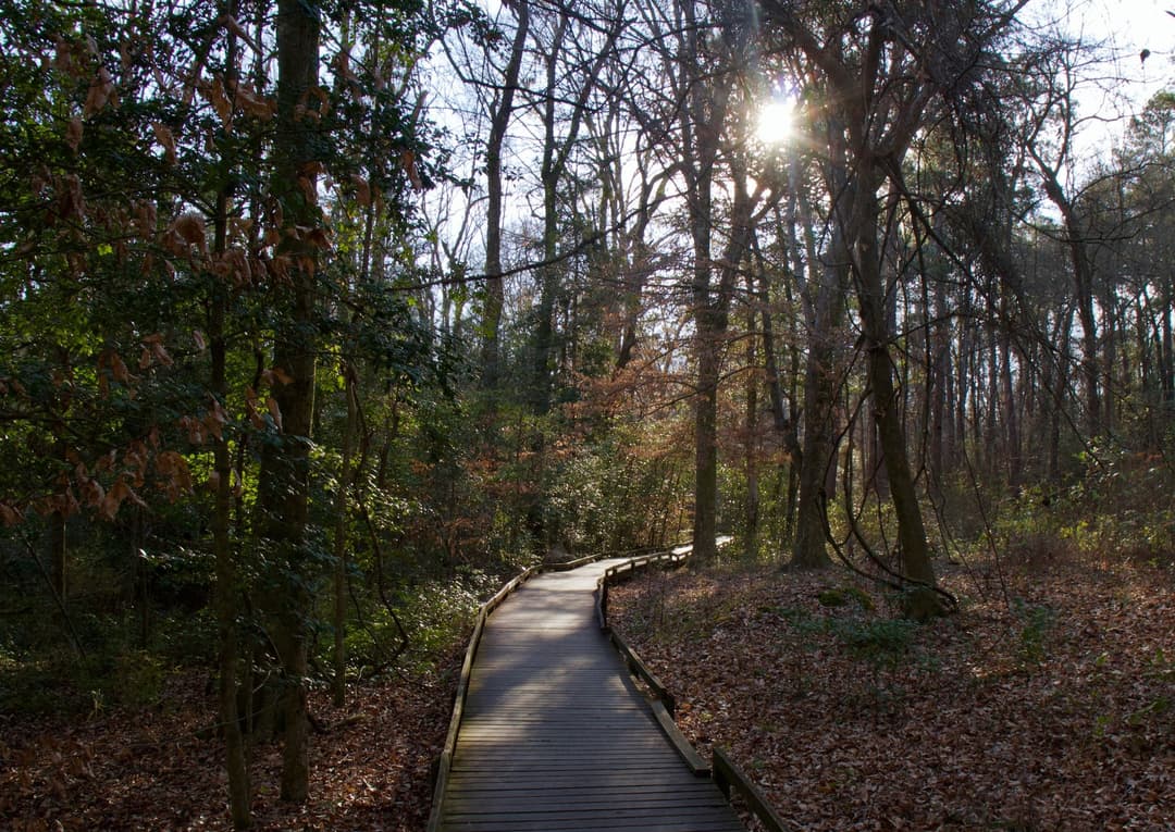
Image credit: ParkwolfCaution
Navigation hazards on three backcountry trails
Use GPS and other navigation aids on the Oakridge, Boggy Gut, and Kingsnake backcountry trails because they may be difficult to follow in some areas. - Boggy Gut also has numerous trees down due to recent storms, adding obstacles on the trail. - Carry a map and compass and use offline GPS navigation tools. Check current trail and park conditions before your trip.Official detailsCaution
Downed trees obstruct Cedar Creek paddling route
Expect significant portages and carry-overs on Cedar Creek between Bannister’s Bridge and South Cedar Creek because trees are down across the creek. - Depending on water levels, be prepared to portage around logs and other obstacles; use caution because downed trees may conceal poison ivy, spiders, wasps, other stinging insects, and snakes. - Bring a PFD, whistle, weather-appropriate clothing, water, food, sunscreen, insect repellent, map, and compass; canoe-trail markers may not be visible depending on water levels. - Do not paddle when Cedar Creek is above its 8-foot flood stage: currents are highly unpredictable and the trail is hard to distinguish, especially for novice or inexperienced paddlers. Check current paddling conditions before setting out.Official details

