Parkwolf Tour GuideThe highest, rockiest slopes around here are a summer buffet for grizzly bears.
Congaree Tour Guide
Congaree, narrated.
Parkwolf is a GPS audio tour guide for Congaree National Park. As you drive, it chimes in with what’s ahead: hidden gems, upcoming stops, history, geology, and wildlife, right through your car’s speakers.
Recorded for this place
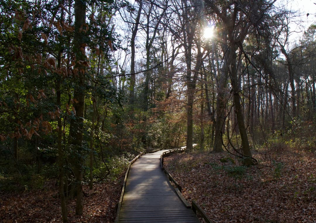
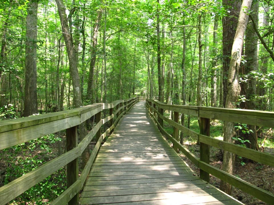
Harry Hampton Visitor Center and Boardwalk
0:00 / 0:36
“You're approaching the Harry Hampton Visitor Center, where exhibits introduce the forest and the people who lived and worked here. Look for the wooden mosquito meter before heading out.”
Plays as you drive up to Weston Lake Overlook in the Parkwolf Congaree Tour Guide.
More stories near here in the app
Longleaf and Bluff Campgrounds
A Plant That Lives in the Air
South Cedar Creek Canoe Landing
The Pine That Starts as Grass
13 audio storiesacross Congaree’s roads, triggered by GPS as you drive
Wildlife heatmapsfor Alligator, Wild Boar, Barred Owl, and 13 more
Works offlinemaps, 9 trails, 14 places, and audio download before you lose signal
CarPlay readysimple controls built for the drive
★★★★★
“Fantastic app with many points of information… It’s great to just turn on while you’re driving and it gives you an audio tour of the national Park. We love it!!!!”
CautionDowned trees on Cedar Creek require portagesExpect significant portages on Cedar Creek between Bannister’s Bridge and South Cedar Creek because trees are down across the creek; the number of portages depends on water levels.Official details
CautionBackcountry trails may be difficult to followUse GPS on the Oakridge, Boggy Gut, and Kingsnake backcountry trails because they may be difficult to follow.Official details