
Place · 0.3 mi away
Moderate
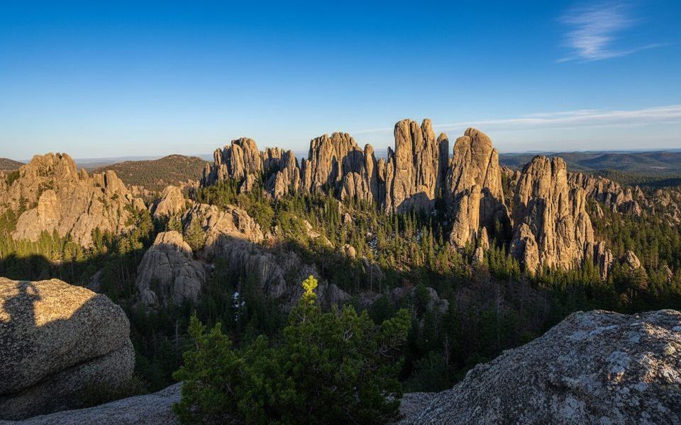
If you want big Black Hills views without committing to Black Elk Peak, Little Devil’s Tower is the move. This out-and-back is about 3.0 miles total with roughly 600 feet of gain, and it saves its spice for the finale—a short, hands-on scramble through a granite crevice to a 360-degree summit.
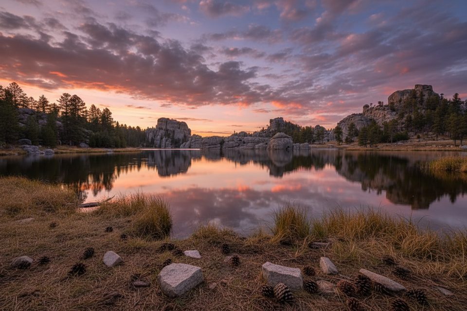
Start from the trailhead just east of Sylvan Lake on Needles Highway (SD-87). You’ll begin on Custer’s Trail #4, cruising past ponderosa pine, granite outcrops, and a small creek before switchbacks lift you into the Needles country. Roughly a half-mile in, watch for the signed branch to Little Devil’s Tower. Follow blue diamond markers; the spur is easy to miss if you’re chatting and not looking up.
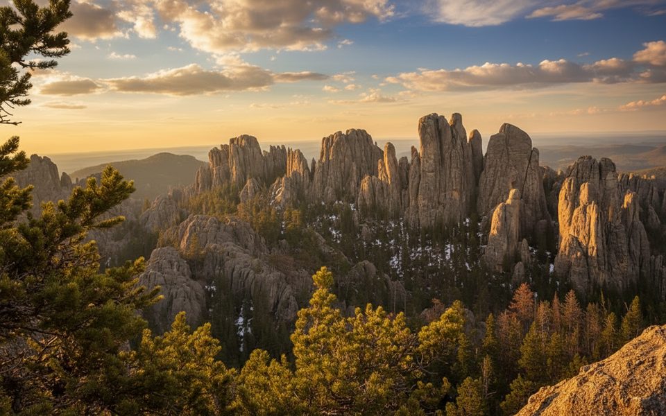
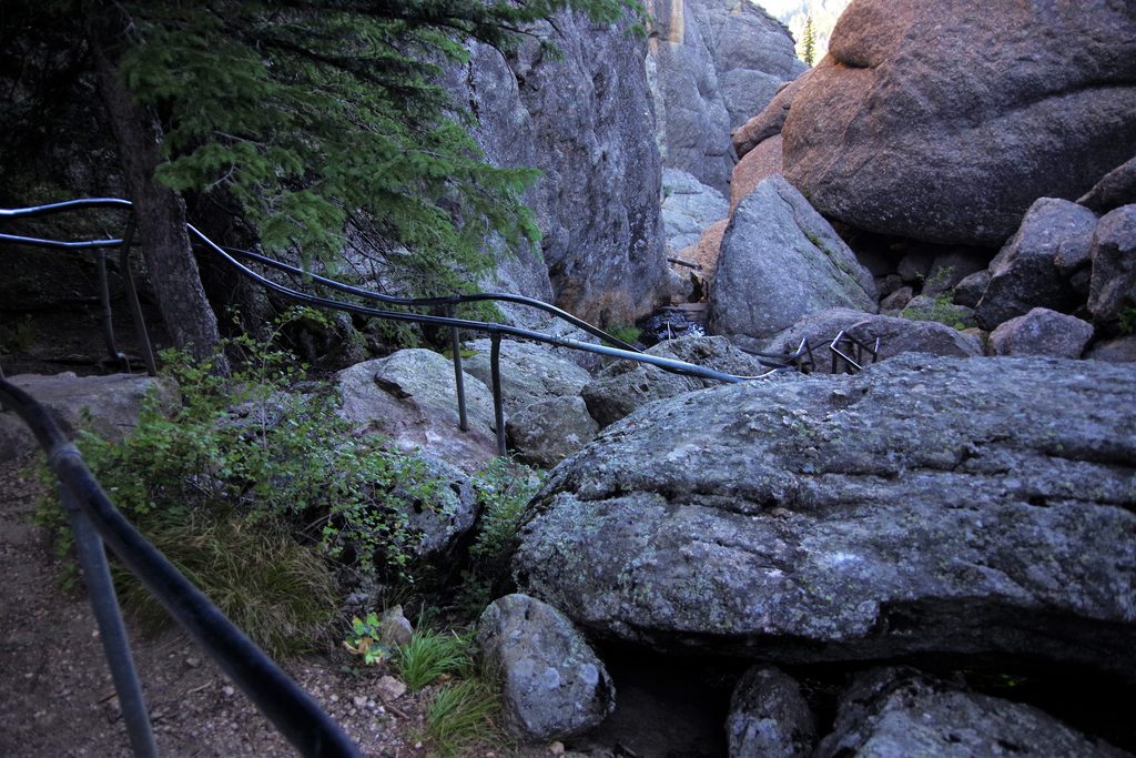
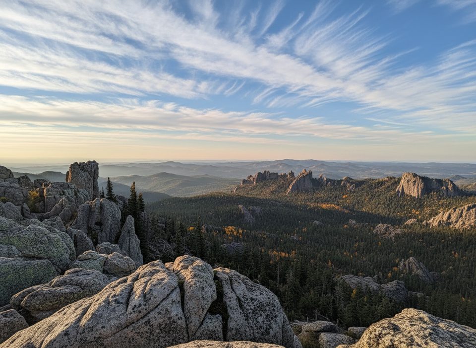
The last bit is the fun part: a short but steep scramble through a granite crack—non-technical, but you’ll use hands. Up top, you’re surrounded by classic Needles spires, Black Elk Peak, and views toward Cathedral Spires—true 360-degree scenery ideal for photos.
Call it moderate overall: steady climbing, rocky footing in places, and that brief scramble at the end. It’s often less crowded than Black Elk Peak, which makes the summit feel wilder. If you’re uncomfortable with exposure or scrambling—or hiking with a dog that doesn’t scramble well—you may turn around just below the top.
You’ll walk through ponderosa pine forest with seasonal wildflowers. Keep an eye out for deer, mountain goats, and plenty of birdlife among the spires.
Little Devil’s Tower is a spur off Trail #4, so it’s easy to turn this into a bigger day: continue on Trail #4 to Black Elk Peak or detour to Cathedral Spires for extra mileage and more granite drama. There’s also an unmarked side path to the local curiosity Poet’s Table near the start; it’s off-route and not signed—use caution if you go looking.
Small trailhead lot off Needles Highway (SD-87) just east of Sylvan Lake; it fills early and overflow parking often occurs along the highway.
Short but steep granite crevice scramble near the summit; slippery when wet or icy. Limited parking. Unmarked side paths exist—stay on signed routes if unsure.
Place · 0.3 mi away
Place · 0.5 mi away
Place · 0.5 mi away
Place · 0.5 mi away
Moderate · 0 mi away
Challenging · 0.5 mi away
Easy · 0.5 mi away
Moderate · 0.5 mi away

Parkwolf Tour Guide
