
Place · 0.3 mi away
Moderate
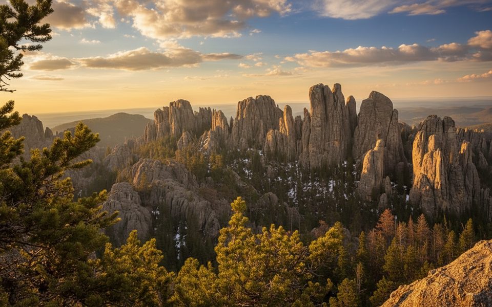
If you want Black Hills big views without the full Black Elk Peak commitment, Trail No. 4 to Little Devil’s Tower delivers. Plan on roughly 3–3.5 miles total, out-and-back, using Trail #4 and the signed Little Devil’s Tower spur (4B). The walking is pleasant at first—forest, a small creek, and an old burn scar—then turns rocky as the granite spires close in. The final approach is the fun part: a short scramble through a granite crevice to pop onto the summit.
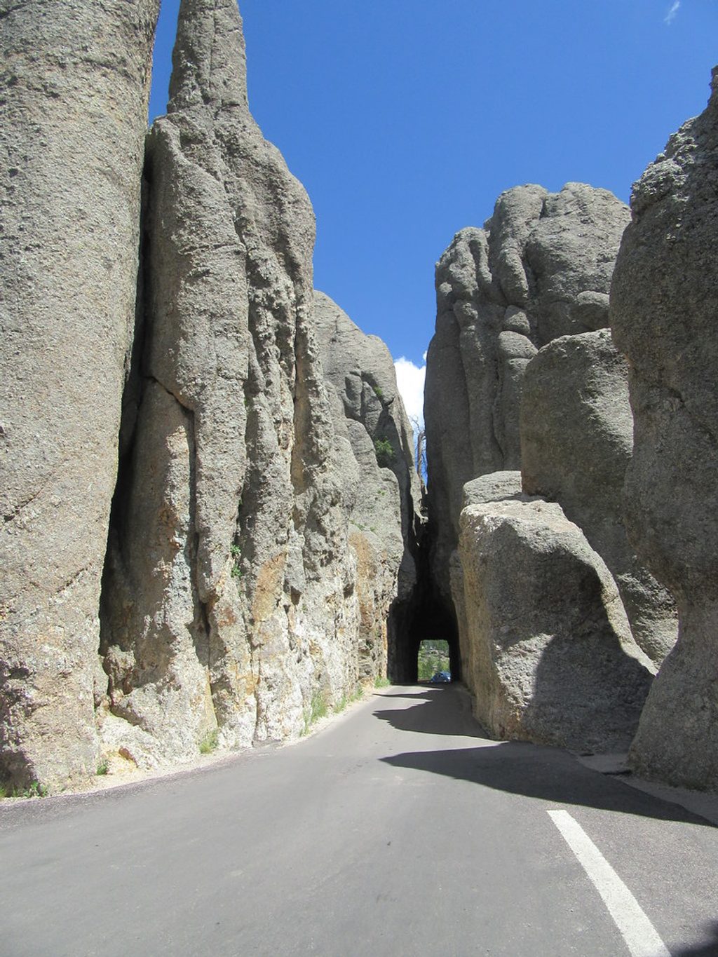
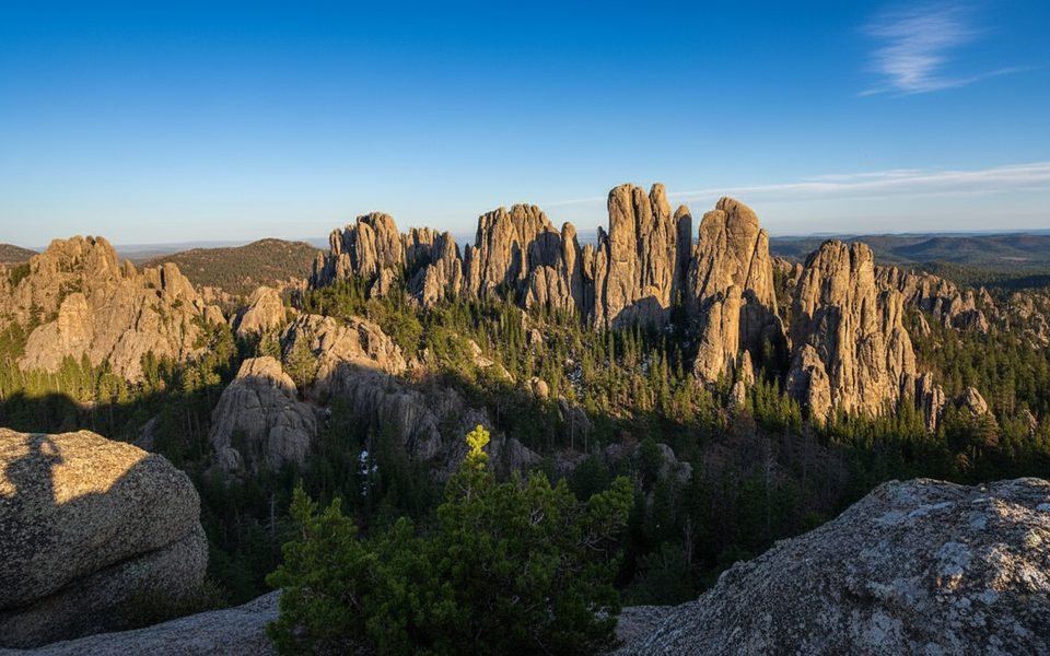
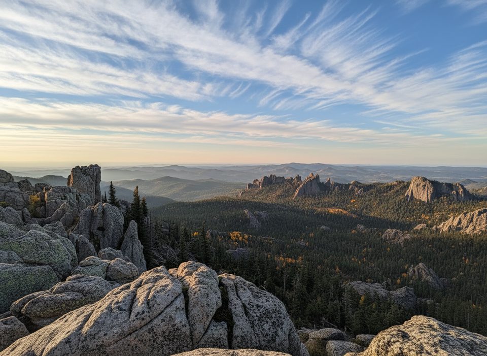
Expect classic Needles scenery throughout—ponderosa pine, sculpted granite, and sky-piercing spires—and 360-degree views from the top that take in Black Elk Peak, Cathedral Spires, and the broader wilderness. The route is well-signed with blue markers, but near the summit the path weaves across rock; keep an eye on the blazes and paint marks.
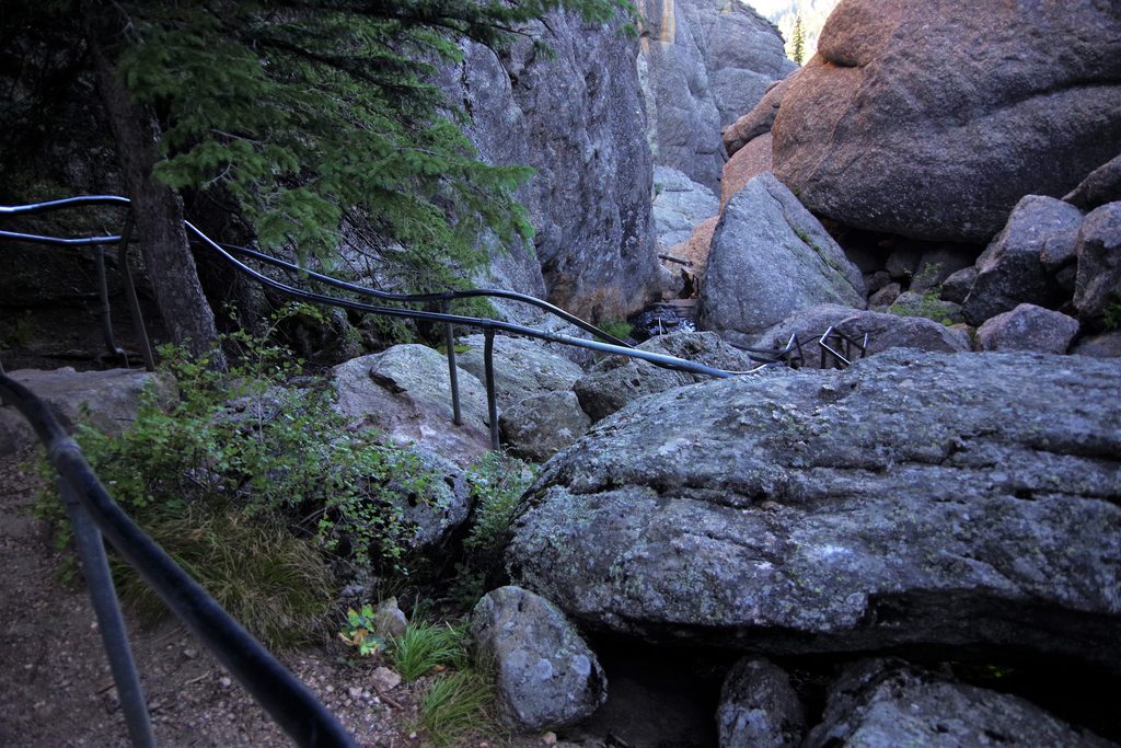
This is generally a moderate hike, but the last bit is hands-on. Wear shoes with real grip. Most hikers find the scramble brief and manageable; if exposed rock isn’t your thing, know that the crux comes after turning onto the 4B spur.
Practicalities: there are no facilities on the trail—bring water and a snack for the summit. Parking can overflow onto Needles Highway during busy times, so arrive early. The trail connects easily with Cathedral Spires or the Black Elk network if you want to turn a short outing into a bigger day.
Best time to hike: late spring through fall. Snow can linger into late spring; summer brings wildflowers but also afternoon thunderstorms—start early. Fall is prime: cooler temps, thinner crowds, and golden foliage.
Worth it? Yes. It’s a shorter, slightly adventurous climb with top-shelf views and fewer people than Black Elk Peak—an excellent bang-for-buck Black Hills hike.
Trail access is off Needles Highway (SD 87) just east of Sylvan Lake. Small lots fill fast; overflow parking commonly lines the highway. Expect to cross the highway to reach Trail #4 when parking along the road. Arrive early for a spot.
The final approach requires a short scramble through a granite crevice—grippy footwear is essential. Route can be unclear on the rock near the summit—follow blue blazes/paint marks. No facilities or water on the trail. In summer, start early to avoid crowds and afternoon thunderstorms; rock can be slick when wet.
Place · 0.3 mi away
Place · 0.5 mi away
Place · 0.5 mi away
Place · 0.5 mi away
Moderate · 0 mi away
Challenging · 0.5 mi away
Easy · 0.5 mi away
Moderate · 0.5 mi away

Parkwolf Tour Guide
