
Place · 0 mi away
Moderate
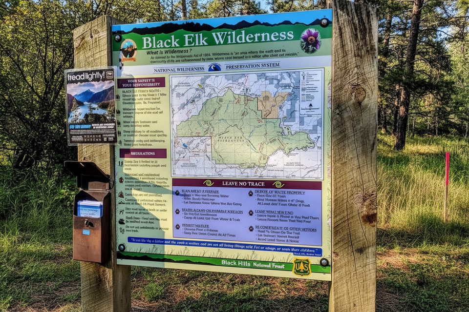
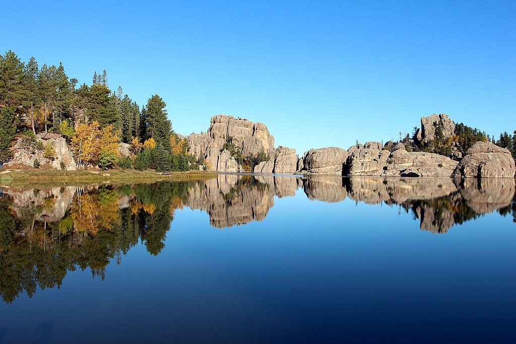
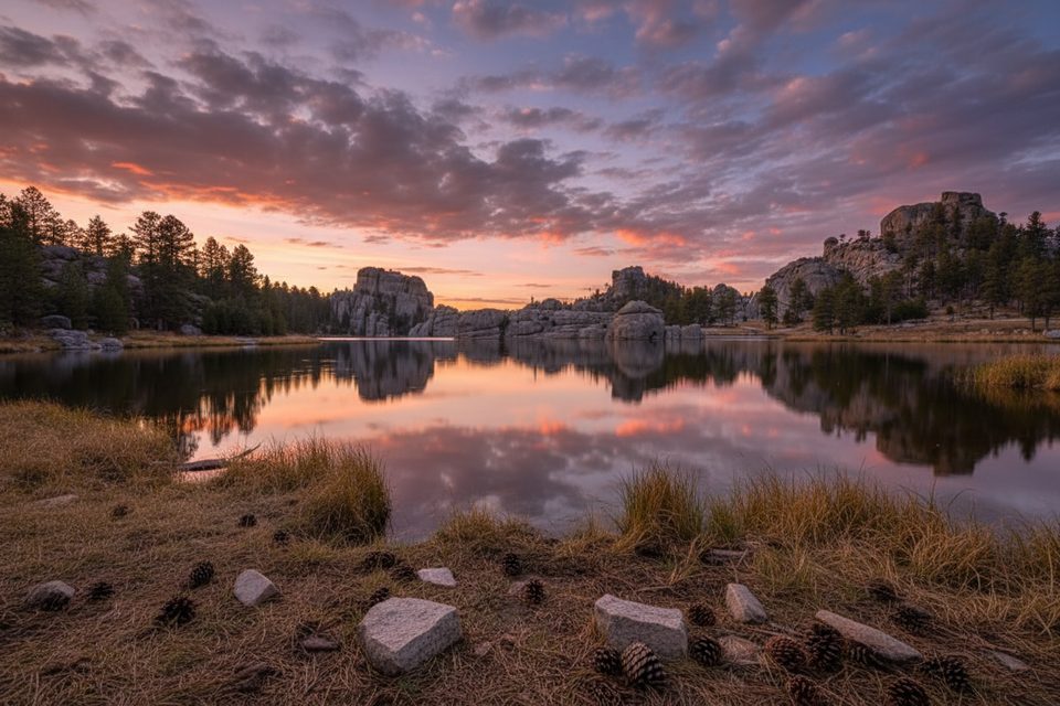
Trail No. 9 South is the most straightforward way to reach Black Elk Peak (7,242 feet), starting at the Sylvan Lake day-use area. Expect an out-and-back of roughly 7 miles total with about 1,300–1,500 feet of steady gain. The path is well-maintained and signed, but the network of trails around Sylvan Lake can feel confusing—know your junctions or carry a map. Restrooms are at the trailhead; there’s no water on the route.
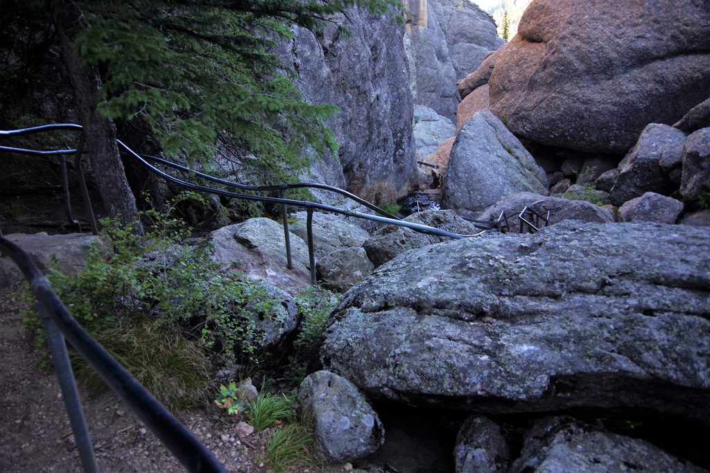
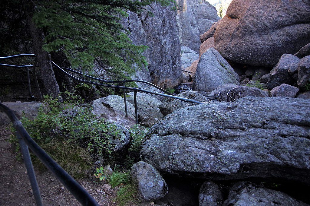
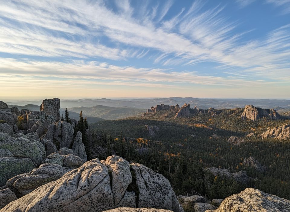
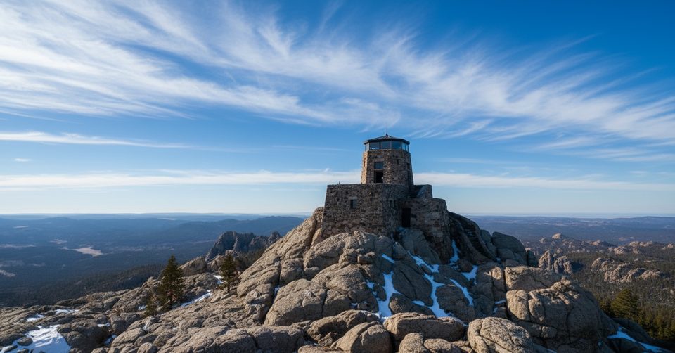
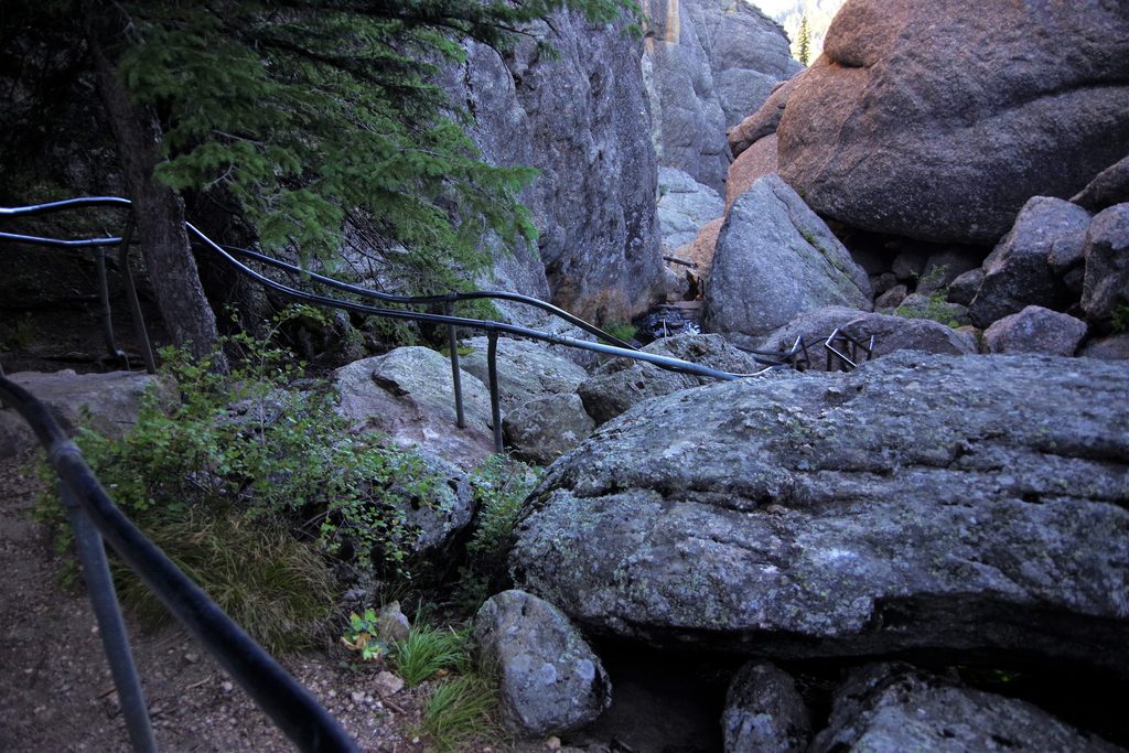
You’ll climb through ponderosa pine forest, meadows, and sculpted granite outcrops that define the Black Hills. Near the top, the grade steepens and the tread gets rockier, culminating in stairs to the historic 1930s fire lookout tower. The summit view is the payoff: sweeping looks over the Black Hills and distant plains on clear days.
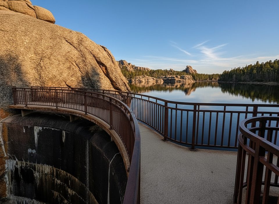
Crowds are part of the deal—this is the most popular approach to the peak—so start early for parking and a quieter ascent. If you want variety, ascend 9 South and descend Trail 4 to make a loop back to Sylvan Lake; it adds different angles on the granite spires without making the day much longer.
Wildlife sightings range from birds and squirrels to deer; some hikers see mountain goats near the summit. Rattlesnakes are possible in warm weather. The trail is rocky in places and not wheelchair accessible.
Best time to hike: Late spring through early fall is prime. Summer temps are often comfortable at elevation, but plan to be off exposed high country before typical afternoon thunderstorms. Fall brings cooler air and fewer people. Winter travel is possible but expect snow/ice—traction may be needed.
Tips: Wear sturdy footwear for the rocky upper mile, bring layers (it’s cooler and windier on top), and pack all your water. Be respectful at the summit—this peak holds cultural and spiritual significance. If the lot is full, be patient or shift to an early/late start; it’s worth timing right for a less hectic experience.
Park at the Sylvan Lake day-use area near the Trail 9 South signage; restrooms at the trailhead. Arrive early in peak season.
Rocky, steeper final mile with stairs; no water on route; summer afternoon thunderstorms and occasional rattlesnakes; winter ice possible; trail junctions can be confusing—carry a map.
Place · 0 mi away
Place · 0 mi away
Place · 0.1 mi away
Place · 0.2 mi away
Moderate · 0 mi away
Challenging · 0 mi away
Easy · 0 mi away
Challenging · 0 mi away

Parkwolf Tour Guide
