
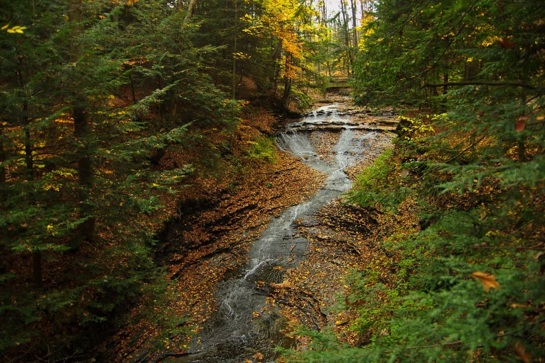
Image credit: ParkwolfCaution
Cuyahoga River paddling closure and hazards
Paddlers must portage the active closure near river mile 17 and avoid the impassable debris hazard upstream of Lock 39. - The river-mile-17 closure is caused by bridge demolition and construction. It begins upstream of the Alexander/Pleasant Valley Road bridge and extends downstream of the construction zone; barrier cables with marker buoys extend across the river. Follow signs to portage upstream of the Fitzwater Road bridge: exit on the west side (river left) and relaunch on the east side. - Old metal pylons and timber groynes upstream from Rockside Road/Lock 39 create frequent large woody-debris hazards, and there is currently no navigable path through the debris. Do not attempt to paddle through it. At most flows below 2,000 cubic feet per second, a beach on river right provides a portage; strong paddling skills are needed after the hazard to avoid an additional river-right strainer. - Just before Lock 29, a bedrock shelf and remnants of a lowhead dam create a hazard. Take out upstream; the takeout and portage are not easy. Novice paddlers should put in only at Lock 29/Peninsula and paddle toward Boston. - Between Red Lock and Station Road, two areas of large woody debris involve large trees across the river. At higher flows, roughly above 700 cfs, there is a navigable path; at lower flows, strong paddling skills or a portage are necessary. - Swift currents, log jams, and strainers are common and serious hazards; portage around obvious hazards or areas of uncertainty. After rain, bacteria from combined sewer overflows and storm-water runoff may create a health hazard; check the latest water-quality information before launching. Check current river conditions before launching; stream conditions change.Official detailsCaution
Vehicle break-in and theft warning
Remove valuables from your vehicle before leaving it in a Cuyahoga Valley parking lot. - Car break-ins in the park have tripled since 2022, resulting in theft of personal items such as credit cards. - Thieves target parking lots regularly. Remove valuables before leaving your vehicle; as a last resort, lock items in your trunk before arriving. Check current park conditions for updates.Official detailsClosure
Towpath Trail improvement closures
Plan around active Towpath Trail closures for resurfacing and Stumpy Basin boardwalk replacement. - Hunt House Trailhead to the north end of Beaver Marsh boardwalk: closed weekdays from August 17 at 7 a.m. through September 18, 2026, at 5 p.m. for trail resurfacing; it is open on weekends. The Beaver Marsh boardwalk remains open and is accessible from the south via Ira Trailhead. - Boston Trailhead to Lock 29 in Peninsula: tentatively closed August 24–November 20, 2026, and March 29–April 21, 2027, for complete replacement of the wooden Stumpy Basin boardwalk. The boardwalk was built in 1991, has reached the end of its serviceable life, and is showing signs of deterioration underneath; NPS is replacing it as a planned approach to provide high-quality, safe trail access before safety hazards become an issue. - Respect the closures while this improvement work is underway. Check current park conditions before traveling; closure details and project timing may change as work progresses.Official details

