Parkwolf Tour GuideThe highest, rockiest slopes around here are a summer buffet for grizzly bears.
Cuyahoga Valley Tour Guide
Cuyahoga Valley, narrated.
Parkwolf is a GPS audio tour guide for Cuyahoga Valley National Park. As you drive, it chimes in with what’s ahead: hidden gems, upcoming stops, history, geology, and wildlife, right through your car’s speakers.
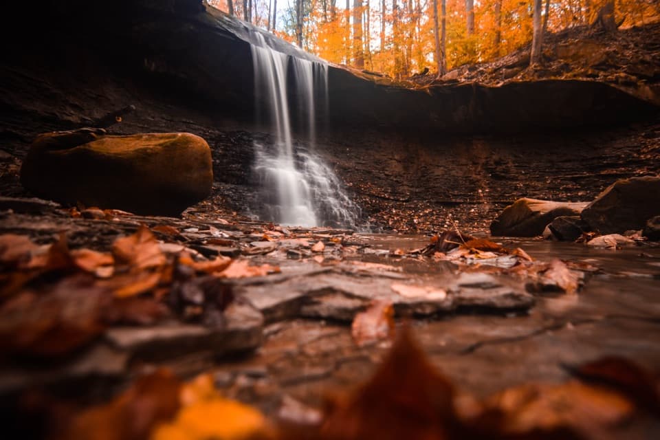
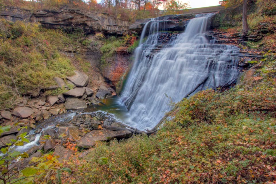
“You're coming up on Brandywine Falls, where a short boardwalk leads to a sixty-foot waterfall. Do this one even if you don't want a hike; about half an hour gives you time to enjoy the falls.”
Plays as you drive up to Brandywine Falls in the Parkwolf Cuyahoga Valley Tour Guide.
More stories near here in the app
The Village Powered by the Falls
A Flower That Makes Heat
Stanford House and Stanford Trail
A Grove That Could Be One Plant
97 audio storiesacross Cuyahoga Valley’s roads, triggered by GPS as you drive
Wildlife heatmapsfor Bald Eagle, River Otter, Coyote, and 13 more
Works offlinemaps, 63 trails, 88 places, and audio download before you lose signal
CarPlay readysimple controls built for the drive
★★★★★
“Fantastic app with many points of information… It’s great to just turn on while you’re driving and it gives you an audio tour of the national Park. We love it!!!!”
ClosureTowpath Trail closed: Boston to Lock 29The Towpath Trail is closed from Boston Trailhead to Lock 29 in Peninsula during the August 24–November 20, 2026 work period.Official details
ClosureStanford-area closures for pavement removalA contractor is removing old pavement, closing former Stanford Road between Stanford Trailhead and the Brandywine Gorge Loop, the north half of Stanford Trailhead parking lot, and a section of the…Official details