
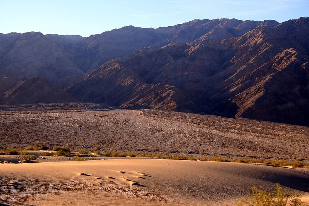
Death Valley National Park

Death Valley National Park, CA · NV

Death Valley alerts

3 current alerts from the park.

Alerts
3
Closures
3

Hear the audio tour

Badwater Basin: Below Sea Level

ClosureUpdated

Park road closures and hazardous conditions

Several park roads are closed or hazardous; obey closures and road limits, and check conditions before driving.

  • Bonnie Clare Road and Scotty’s Castle: Closed for flood-recovery work; no access, including on foot. Reopening depends on completion of projects, with no date known.
  • Unpaved-road closures: All motorized vehicles, including motorcycles, are prohibited. Roads were completely washed out in places; entering them can create tire tracks and braided roads in wilderness as drivers try to locate the former road. Bicycles are permitted except where noted.
  • Cottonwood/Marble Roads: Closed due to flooding on November 1, 2026.
  • Darwin Falls Road: Completely gone in many places; repairs would require extensive imported road fill or gravel from the nearby wash, which would require thorough environmental review. It is likely to remain closed until summer 2027; hikers may park on the CA-190 shoulder and walk in.
  • Hunter Mountain Road: Closed because extremely muddy conditions have left multiple vehicles stuck.
  • Titus Canyon Road: Closed for flood-damage repairs, with reopening anticipated in May 2027; hikers and cyclists are also prohibited.
  • Other road hazards and limits: North Highway has debris from flooding on November 1. Lower Wildrose Road was washed out and has debris in many places from the October 22 storm; vehicles longer than 25 feet are prohibited, and low-clearance vehicles and street tires are not recommended. The final 3 miles of Phinney Canyon Road are significantly washed out and impassable to all vehicles. Harry Wade Road has deep sand about 6 miles south of its junction with Badwater Road.

Check current park road conditions before traveling.

ClosureUpdated

Saline Valley Lower Springs closed after wildfire

Lower Springs at Saline Valley Warm Springs remains closed because the September 15 wildfire left potential hazardous-chemical hazards; stay out of the closed area.

  • The fire destroyed a shed at the volunteer camp host’s site, a potential source of hazardous materials that must be assessed and dealt with before the area is safe for public access.
  • Saline Valley Primitive Campground is partially open: the camping area between Lower and Palm Springs is open, but Lower Springs remains closed.

Check current park conditions before traveling to Saline Valley.

ClosureUpdated

Emigrant Campground and restrooms closed

Emigrant Campground, its water system, and Emigrant Day Use Area restrooms are closed because flooding damaged the water system; do not plan to camp there or rely on those restrooms.

  • Damage to the 5-mile-long water pipe and associated system is substantial, and there is no estimated repair date; the campground is closed indefinitely while repairs are needed.
  • The closest open restroom is at Stovepipe Wells.

Check current park conditions before visiting Emigrant.

A park ranger sits on a dash-mounted phone, talking, as Parkwolf’s Tour Guide plays “Army Cutworm Moths: A Grizzly Bear Buffet” on Grand Loop Road below Dunraven Pass in Yellowstone
Parkwolf Tour GuideThe highest, rockiest slopes around here are a summer buffet for grizzly bears.

Death Valley Tour Guide

Death Valley, narrated.

Parkwolf is a GPS audio tour guide for Death Valley National Park. As you drive, it chimes in with what’s ahead: hidden gems, upcoming stops, history, geology, and wildlife, right through your car’s speakers.

See the Death Valley audio tour

Recorded for this place

Badwater Basin: Below Sea Level
0:00 / 0:34
“You're coming up on Badwater Basin, North America's lowest point at two hundred eighty-two feet below sea level. I'd stop even if you only have time for the boardwalk beside the salty pool.”

Plays as you drive up to Badwater Basin in the Parkwolf Death Valley Tour Guide.

More stories near here in the app

  • The Kangaroo Rat's Midair Kick
  • The River With Gaps
  • The Baby Gauge Ore Trains
  • Dantes View: Above the Basin
  • 228 audio storiesacross Death Valley’s roads, triggered by GPS as you drive
  • Wildlife heatmapsfor Bighorn Sheep, Desert Tortoise, Coyote, and 13 more
  • Works offlinemaps, 57 trails, 81 places, and audio download before you lose signal
  • CarPlay readysimple controls built for the drive
★★★★★
“Fantastic app with many points of information… It’s great to just turn on while you’re driving and it gives you an audio tour of the national Park. We love it!!!!”
JMJamesApp Store review
Download Parkwolf on the App StoreGet Parkwolf on Google Play

4.7 from 8,600+ ratings

Take Parkwolf to Death Valley.

The audio tour guide for the drive, plus offline maps, trails, and wildlife heatmaps for when the signal drops.

4.7 from 8,600+ ratings

Download Parkwolf on the App StoreGet Parkwolf on Google Play