Parking
The park has no parking facility inside its boundary. Stadium East Garage is the preferred nearby option; allow time to walk from downtown parking to the west entrance.
#1 of 3 trails in Gateway Arch
Gateway Arch National Park, MO
A short city loop for Arch reflections and riverfront views.
Overview
Map & elevation
Plan your hike

The highest, rockiest slopes around here are a summer buffet for grizzly bears.
Gateway Arch Tour Guide
Parkwolf is a GPS audio tour guide for Gateway Arch National Park. As you drive, it chimes in with what’s ahead: hidden gems, upcoming stops, history, geology, and wildlife, right through your car’s speakers.
Recorded for this trailhead
Gateway Arch and Visitor Center“You're approaching the Gateway Arch and its Visitor Center. For the tram, book ahead and allow about an hour. You'll ride in a small five-person capsule, but the round trip still involves at least ninety-six steps.”
Plays as you drive up to this trailhead in the Parkwolf Gateway Arch Tour Guide.
More stories near here in the app
“Fantastic app with many points of information… It’s great to just turn on while you’re driving and it gives you an audio tour of the national Park. We love it!!!!”


Trail guide
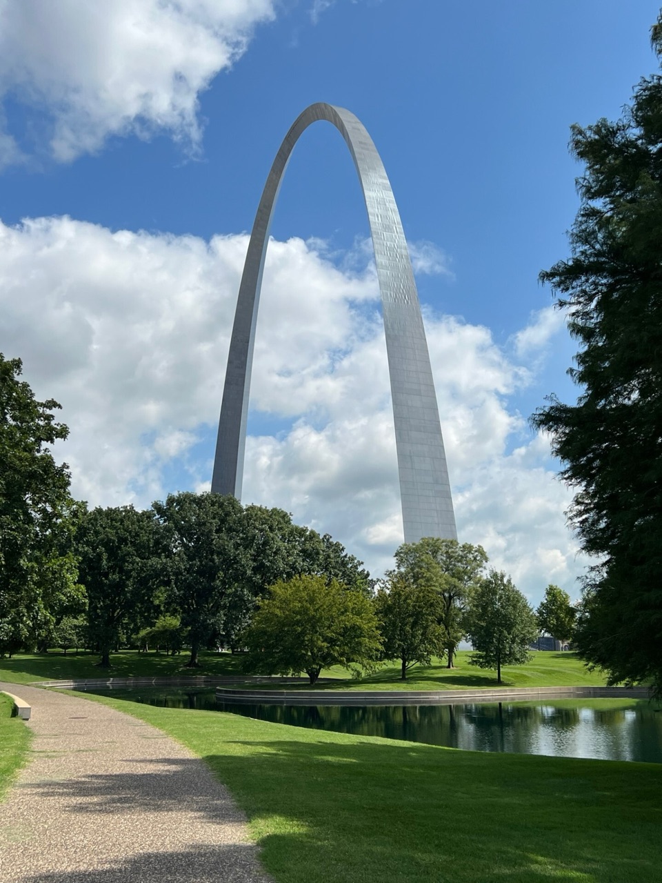
Gateway Arch Loop is a 1.6-mile circuit on paved paths through the Arch grounds and along the Mississippi riverfront. This is a short urban walk rather than a natural-surface hike: open lawns, curved sidewalks, two reflection ponds, and long views of the Arch do most of the work. The park has a much larger path network, but this route follows one compact circuit from the grounds south of the Old Cathedral and back. Give it 45 to 60 minutes with photo stops. It is an easy way to see how the Arch sits in the middle of downtown, or a good leg-stretcher before the museum and tram, which are separate visits.
Begin on the paved path south of the Old Cathedral (Basilica of St. Louis), on the southwest side of the Arch grounds. The sidewalk leads onto open lawns around the Arch, where the monument keeps appearing between trees and changes scale as you move. Follow the grounds paths north toward the riverfront, then turn south along the paved promenade and return through the lawns to the same starting path. The north and south ends have overlooks toward the Mississippi; Eads Bridge is the standout landmark to the north. The path is easy to follow, though this is a network of connected walks rather than a signed single-track trail, so use the mapped loop instead of treating every side path as part of the route.
The two reflection ponds give the route its best close-up views. Their edges and the walks beside them make useful foregrounds for the Arch, especially when you step back far enough to fit both into the same frame. The south pond sits near the central grounds; the north pond is tucked into the trees closer to the river. The lawns are broad and open, but paths bend around planting and water rather than cutting straight across. Benches are spaced through the grounds, so there are places to pause without leaving the loop.
The route drops from the upper lawn to the riverfront, where broad steps and ramps connect the overlooks to the lower promenade. Follow the ramps for the accessible approach. The Mississippi and Eads Bridge give this section a completely different feel from the quiet pond paths, with downtown still close behind you. This is the payoff for doing the circuit instead of walking only around the Arch: you see the monument, the river, and the city from different angles in one short loop. The walk returns from the south river edge through landscaped paths below the Arch.
Architect Eero Saarinen and landscape architect Dan Kiley developed the park's built landscape in the 1950s. Their plan lines up the Arch with the Old Courthouse and uses long, sweeping curves that echo the Arch's shape. The rolling lawns are designed to hide infrastructure: roads and a railroad cut run beneath or behind the berms, so the grounds feel like a continuous park instead of a set of urban crossings. The ponds also serve a practical job, collecting drainage from the underground visitor center and ramps before water is pumped into them. Once you know that, the lawns and ponds read as part of the memorial design rather than decoration around a monument.
The paths are wide concrete with gentle slopes and benches, and pets are allowed on the grounds. The visitor center has water and restrooms, but those are separate from the loop and the indoor attractions have their own admission and security steps. There is no parking lot inside the park; Stadium East Garage is the preferred nearby option, and allow time for the downtown walk from a garage to the west entrance. The grounds paths are open year-round. If you want the defining photo, use the south pond path and place the curving edge of the water below the Arch; the path in the foreground shows that this is a walk through the grounds, not just a monument portrait.
Wildlife
 17 sightingsRed-tailed HawkMost seen around 11 AMSighting map
 14 sightingsGroundhogMost seen around 8 AMSighting map
 11 sightingsOpossumMost seen around 8 PMSighting map
 16 sightingsCottontailMost seen around 7 PMSighting map
 113 sightingsCanada GooseMost seen around 7 AMSighting map
 70 sightingsMallardMost seen around 6 PMSighting map
Sighting maps show where each species has been reported across Gateway Arch. Wildlife moves, so no sighting is guaranteed.
Keep exploring
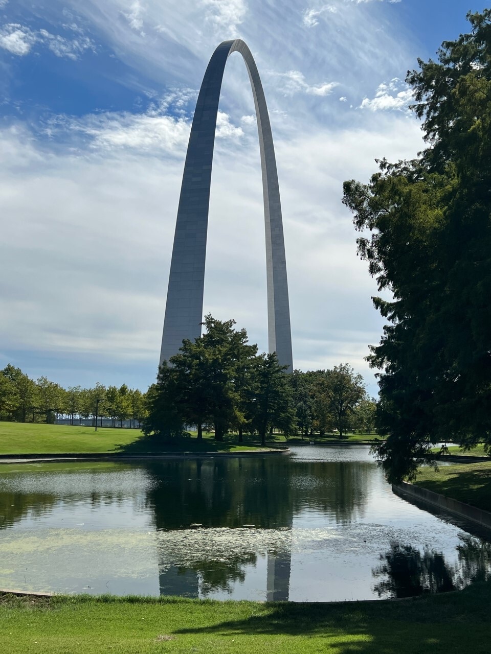 EasyNorth Pond Loop1 mi · 30 min · At the trailheadThe Arch gets a second frame in the pond.
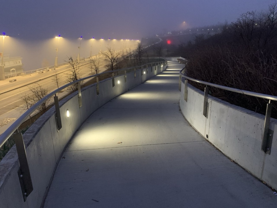 ChallengingSt. Louis Riverfront Trail23 mi · 11.5 hr · 0.8 mi awayFlat riverfront miles lead to a mile-long Route 66 bridge.
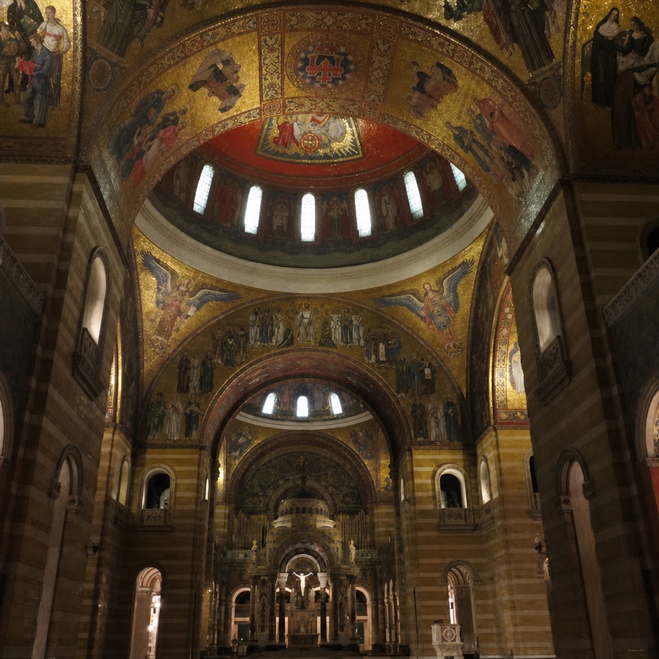 Sight · At the trailheadOld CathedralA living church with a deep St. Louis story beside the Arch.
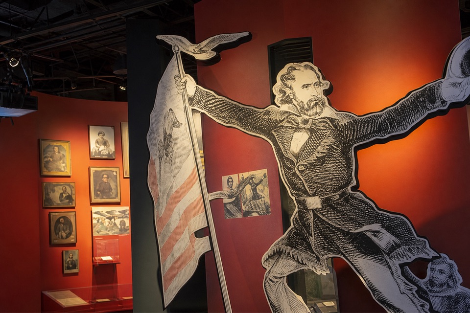 Sight · 0.1 mi awayMuseum at the Gateway ArchSix galleries span colonial St. Louis through Arch construction.
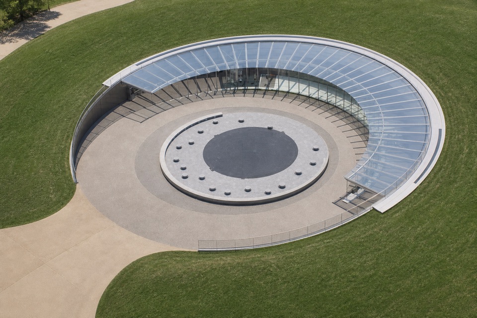 Sight · 0.1 mi awayTucker TheaterSee how Saarinen’s design became the Arch in 35 minutes.
 Sight · 0.1 mi awayVirtual Reality TheaterTen minutes of headsets puts you on the 1850s riverfront.
 Restaurant · 0.1 mi awayArch CaféA convenient place to try St. Louis toasted ravioli.
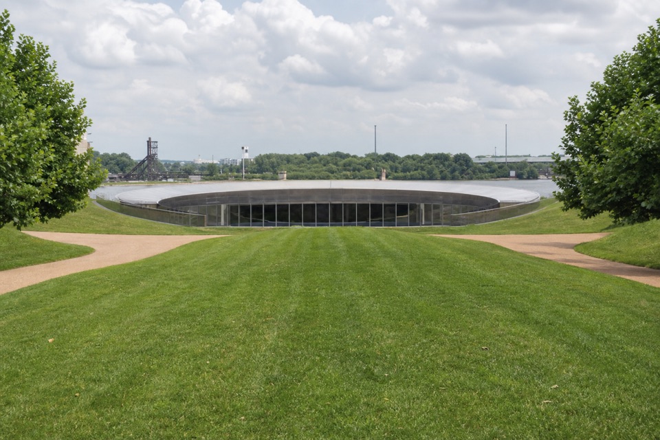 Sight · 0.1 mi awayLuther Ely Smith SquareA leafy garden link between downtown and the Arch.
 Store · 0.1 mi awayThe Arch StoreArch gifts, park-history books and homemade fudge.
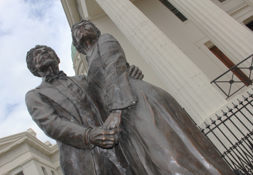 Sight · 0.1 mi awayDred and Harriet Scott StatueA courthouse memorial to the fight for the Scotts' freedom.
Parkwolf’s Gateway Arch ranking

The audio tour guide for the drive, plus offline maps, trails, and wildlife heatmaps for when the signal drops.