Parking
Start at Biddle Street Trailhead, 1 Biddle Street; the greenway brochure shows parking here. Lot capacity and fee details were not found.
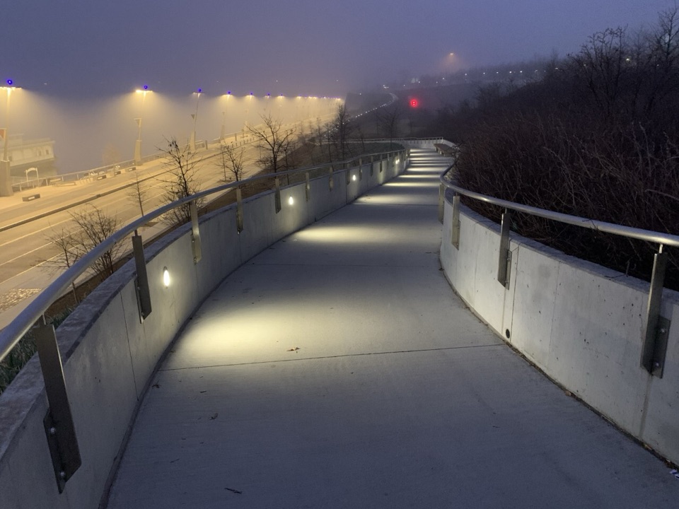
#2 of 3 trails in Gateway Arch
Gateway Arch National Park, MO
Flat riverfront miles lead to a mile-long Route 66 bridge.
Overview
St. Louis Riverfront Trail is a 23-mile out-and-back from Biddle Street Trailhead to Old Chain of Rocks Bridge and back, following the paved Mississippi Greenway along the working river. The complete walk is listed at about 11.5 hours. It is a long, mostly flat day on levee paths and city edges, with little shade and stretches where the floodwall blocks the water. Do the full route for the river, the changing neighborhoods and the bridge; choose a shorter walk if you mainly want time around the Arch.
 Parkwolf’s verdictIs the full route for you?
Map & elevation
Plan your hike

The highest, rockiest slopes around here are a summer buffet for grizzly bears.
Gateway Arch Tour Guide
Parkwolf is a GPS audio tour guide for Gateway Arch National Park. As you drive, it chimes in with what’s ahead: hidden gems, upcoming stops, history, geology, and wildlife, right through your car’s speakers.
Recorded for this trailhead
North Gateway and Eads Bridge“Up ahead is the North Gateway, where the park paths give you a good view of Eads Bridge's three steel arches. The bridge opened in eighteen seventy-four.”
Plays as you drive up to this trailhead in the Parkwolf Gateway Arch Tour Guide.
More stories near here in the app
“Fantastic app with many points of information… It’s great to just turn on while you’re driving and it gives you an audio tour of the national Park. We love it!!!!”


Trail guide
Near the Arch, the route has an upper sidewalk beside Leonor K. Sullivan Boulevard and a lower sidewalk along Levee Road. A ramp and railed stairs connect them, but conditions vary. The lower bank can be cobbled and uneven underfoot. Some levee sections are shared with authorized vehicles. The floodwall hides the river in places; when the path drops to the lower level, you get closer to the water and passing barges. Much of the longer walk is open to the sun.
This is an urban greenway, with river commerce, rail lines, warehouses and industrial buildings in the view. The riverfront became a transport and industrial corridor after the steamboat era, so the scenery is a mix of working infrastructure and open water rather than a continuous park landscape. Around the Arch, look for Eads Bridge and the barges moving along the Mississippi.
The levee wall at Mural Mile is painted with changing local graffiti; the art is part of the walk, but no one mural is a permanent target. Farther north, Mary Meachum Freedom Crossing marks a more solemn piece of local history. On May 21, 1855, Meachum tried to help enslaved people cross the river to Illinois. At least five were caught, and she was arrested. The site is now part of the Underground Railroad Network to Freedom.
The route ends at the approach to Old Chain of Rocks Bridge, a mile-long steel crossing more than 60 feet above the Mississippi with a 30-degree bend midway. It carried Route 66 from 1936 until it closed to cars in 1968, then reopened for walking and biking in 1999. The full route turns around here; walking across the bridge into Illinois adds distance beyond the 23-mile return.
Dogs are welcome on the greenway on a fixed leash no longer than six feet; clean up after them. The Arch riverfront walk is free and listed for year-round use. The full trail is exposed, and low riverfront sections can be affected by flooding, so check current access notices before setting out. Parking is shown at the Biddle Street Trailhead, but lot capacity and fees are not specified.
Start at Biddle Street Trailhead, 1 Biddle Street, and head north to the bridge approach before turning back along the same corridor. The older greenway map marks shorter returns of about three miles to the Mural Mile and six miles to Mary Meachum Freedom Crossing. Those make better choices if you want a taste of the riverfront without committing to an all-day walk.
Wildlife
 17 sightingsRed-tailed HawkMost seen around 11 AMSighting map
 14 sightingsGroundhogMost seen around 8 AMSighting map
 11 sightingsOpossumMost seen around 8 PMSighting map
 16 sightingsCottontailMost seen around 7 PMSighting map
 113 sightingsCanada GooseMost seen around 7 AMSighting map
 70 sightingsMallardMost seen around 6 PMSighting map
Sighting maps show where each species has been reported across Gateway Arch. Wildlife moves, so no sighting is guaranteed.
Keep exploring
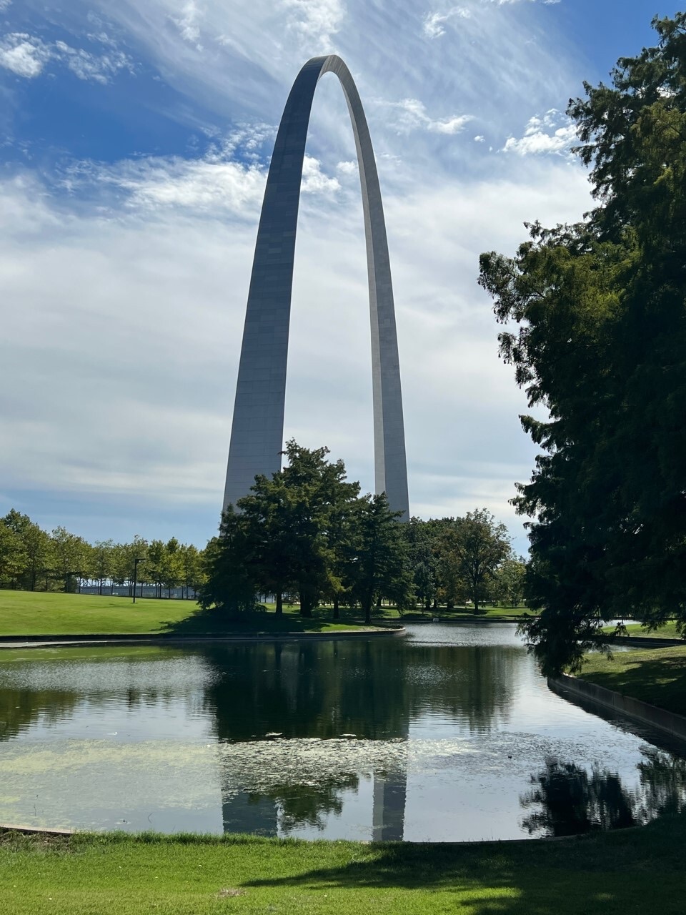 EasyNorth Pond Loop1 mi · 30 min · 0.8 mi awayThe Arch gets a second frame in the pond.
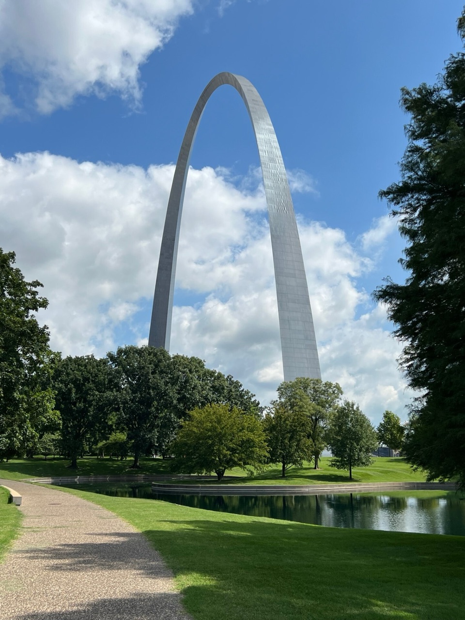 EasyGateway Arch Loop1.6 mi · 45 min · 0.8 mi awayA short city loop for Arch reflections and riverfront views.
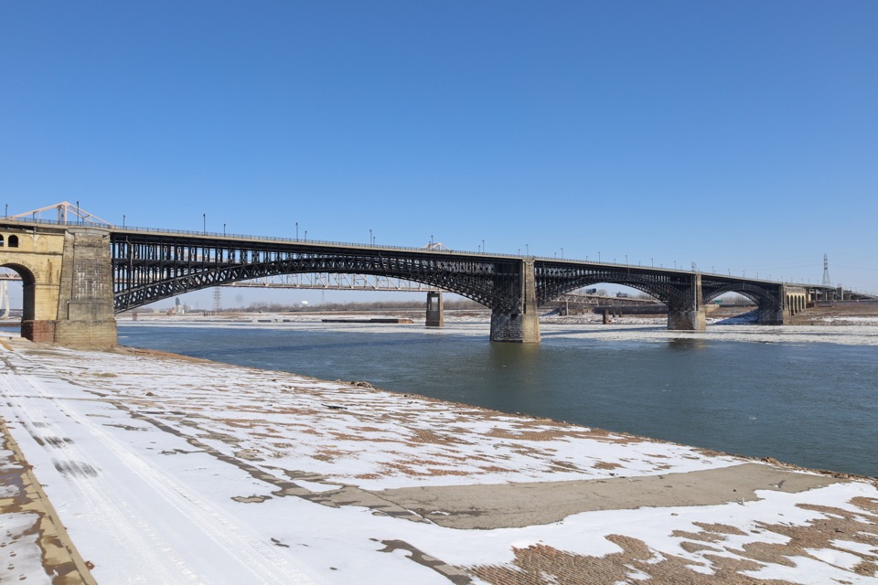 Sight · 0.4 mi awayEads BridgeThree steel arches frame a historic crossing over the Mississippi.
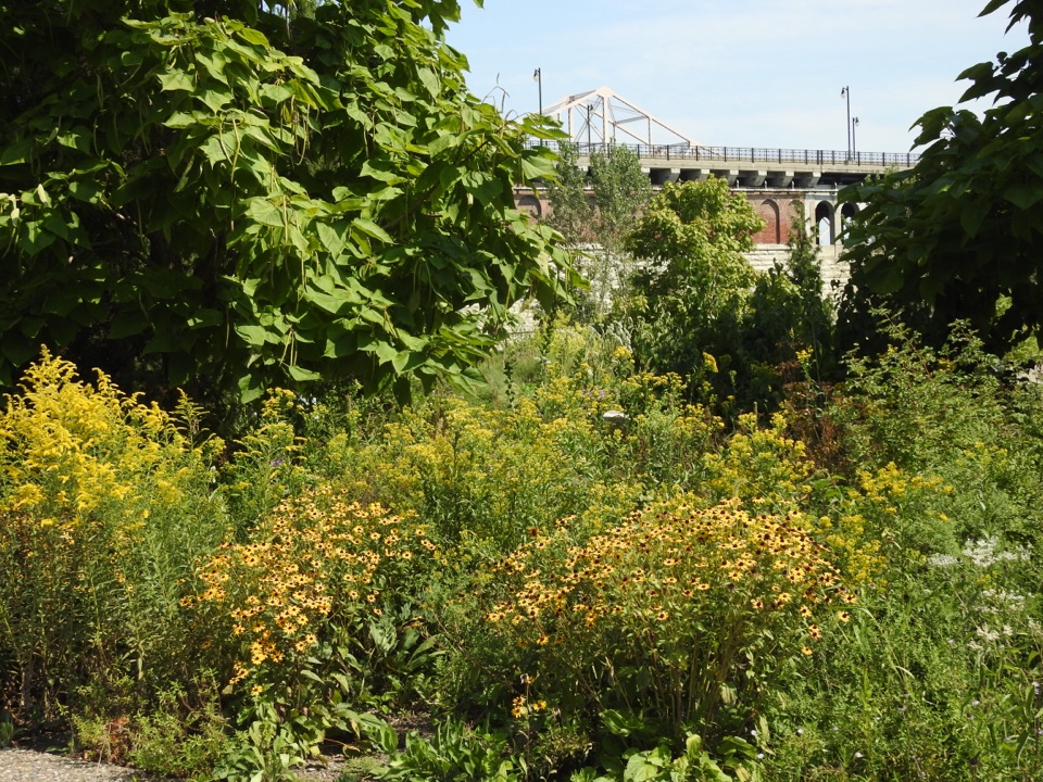 Sight · 0.5 mi awayExplorer’s GardenA wilder patch of native plants beneath Eads Bridge.
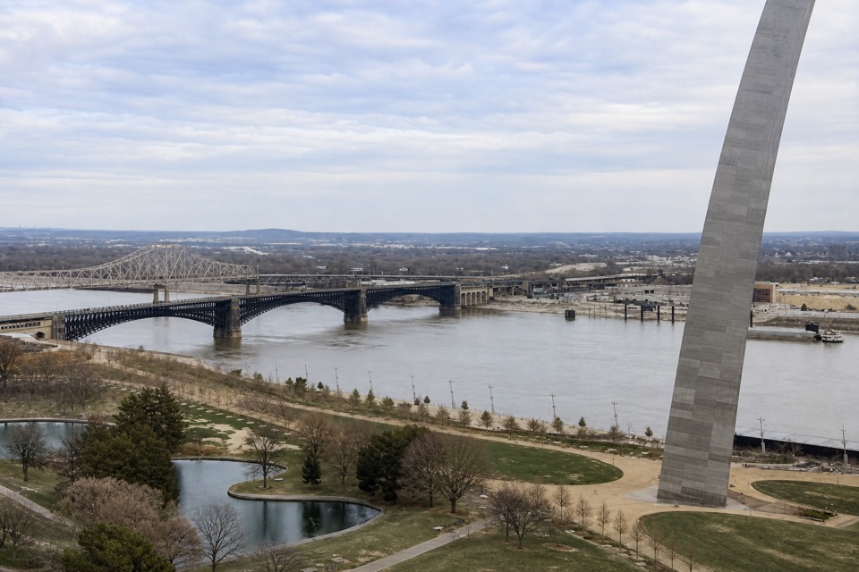 Sight · 0.5 mi awayNorth OverlookThe Arch and Eads Bridge share this north-riverfront view.
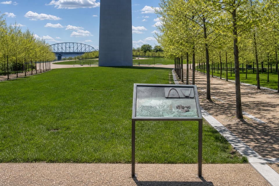 Sight · 0.6 mi awayCatenary Curve WaysideA tactile way to understand the Arch’s famous curve.
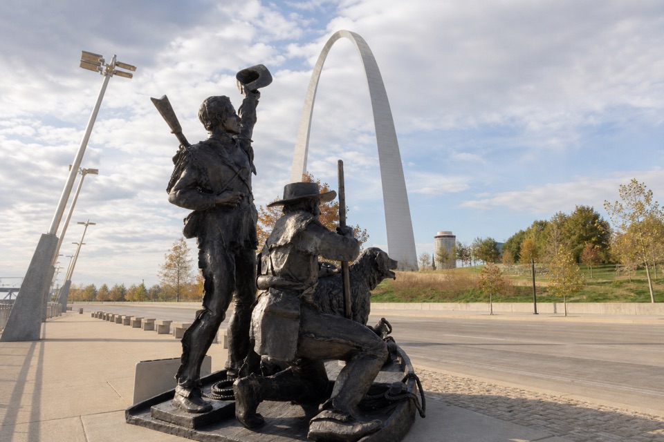 Sight · 0.6 mi awayThe Captains’ ReturnA 22-foot bronze of Lewis, Clark, and Seaman returning to St. Louis.
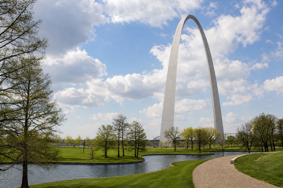 Sight · 0.7 mi awayNorth PondA small reflection pond whose curves repeat the Arch.
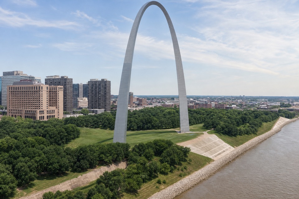 Sight · 0.7 mi awayGateway Helicopter ToursSee the Arch, river and city landmarks from above.
 Store · 0.7 mi awayThe Arch StoreArch gifts, park-history books and homemade fudge.
Parkwolf’s Gateway Arch ranking
The audio tour guide for the drive, plus offline maps, trails, and wildlife heatmaps for when the signal drops.