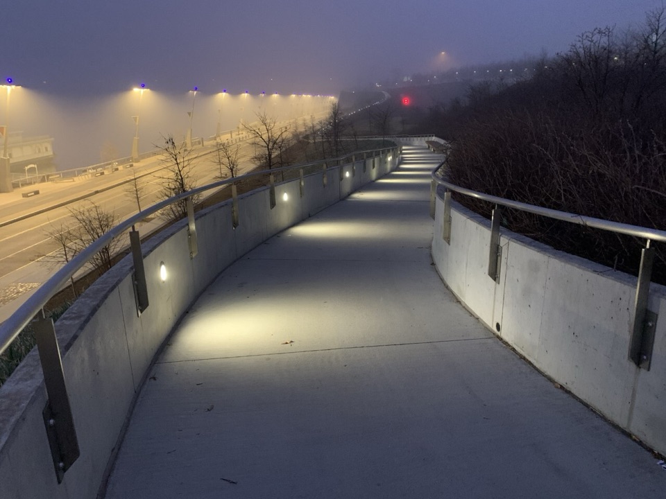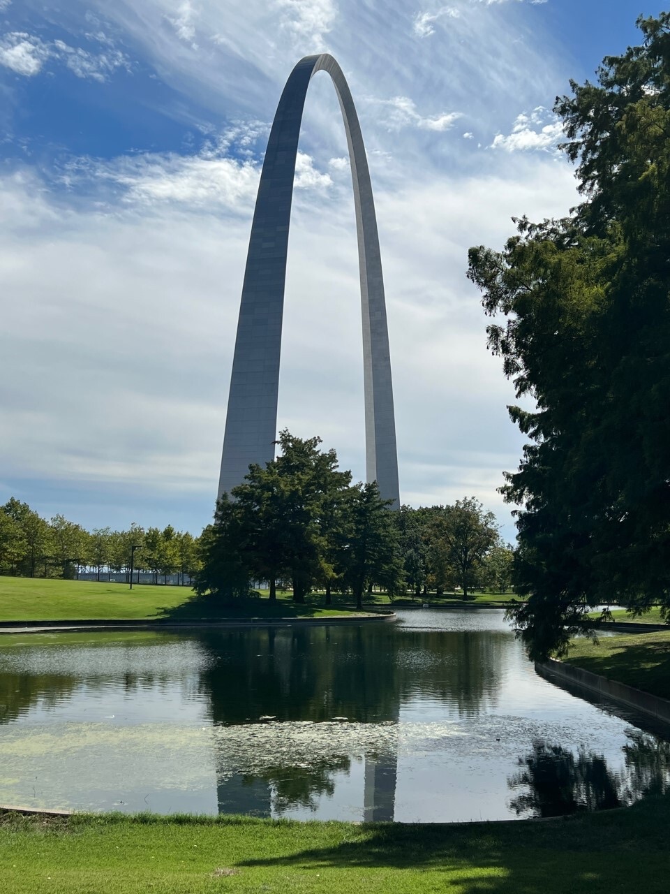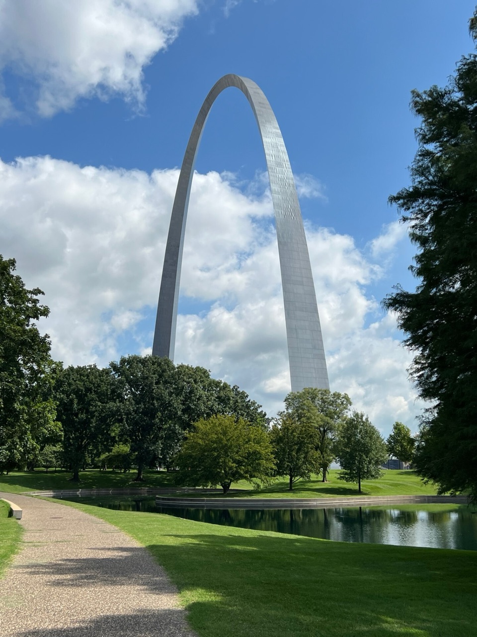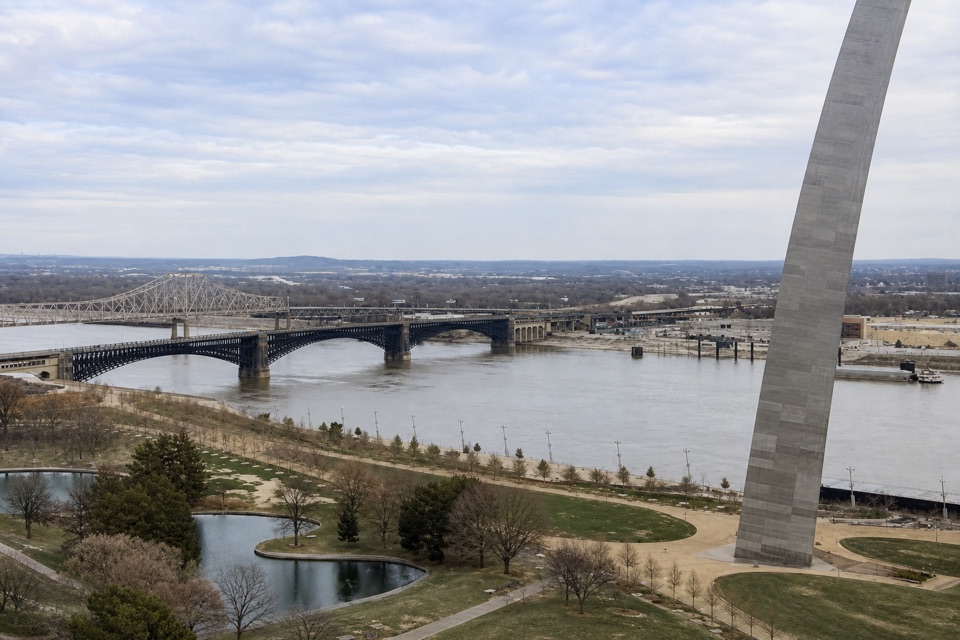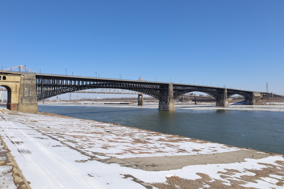
Eads Bridge in Gateway Arch National Park

#8 of 21 sights in Gateway Arch

Sight · Gateway Arch National Park

Eads Bridge

Three steel arches frame a historic crossing over the Mississippi.

Photo: Wikimedia Commons
Type
Sight
Nearest trail
0.4 mi
Audio stories
6 nearby
  • Scenic viewpoint

Hear the audio tour

North Gateway and Eads Bridge

Overview

About Eads Bridge

Why stop

  • Historic river crossing with clear views from the North Gateway.

Heads up

  • It remains an active traffic crossing, and current sidewalk access is unclear.

Map

Where it is

Loading the Gateway Arch map
Full map
SightEads Bridge38.62921, -90.18257
Keep this map with you offline in the Parkwolf app

Plan your stop

Before you go

1 active Gateway Arch alert

  • ClosureDowntown St. Louis approach-road closuresConstruction closes two downtown St. Louis approaches; use another route when traveling to Gateway Arch National Park. - I-44: the westbound express lanes and Broadway exit are closed.Official details

Gateway Arch alerts
A park ranger sits on a dash-mounted phone, talking, as Parkwolf’s Tour Guide plays “Army Cutworm Moths: A Grizzly Bear Buffet” on Grand Loop Road below Dunraven Pass in Yellowstone
Parkwolf Tour GuideThe highest, rockiest slopes around here are a summer buffet for grizzly bears.

Gateway Arch Tour Guide

Your drive to Eads Bridge, narrated.

Parkwolf is a GPS audio tour guide for Gateway Arch National Park. As you drive, it chimes in with what’s ahead: hidden gems, upcoming stops, history, geology, and wildlife, right through your car’s speakers.

Recorded for this place

North Gateway and Eads Bridge
0:00 / 0:29
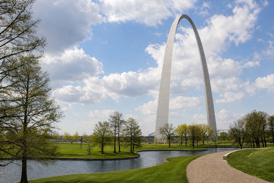
“Up ahead is the North Gateway, where the park paths give you a good view of Eads Bridge's three steel arches. The bridge opened in eighteen seventy-four.”

Plays as you drive up to Eads Bridge in the Parkwolf Gateway Arch Tour Guide.

More stories near here in the app

  • Gateway Helicopter Tours
  • Gateway Arch and Visitor Center
  • Old Cathedral
  • Old Courthouse and Kiener Plaza
  • 6 audio storiesacross Gateway Arch’s roads, triggered by GPS as you drive
  • Wildlife heatmapsfor Red-tailed Hawk, Groundhog, Opossum, and 13 more
  • Works offlinemaps, 3 trails, 24 places, and audio download before you lose signal
  • CarPlay readysimple controls built for the drive
★★★★★
“Fantastic app with many points of information… It’s great to just turn on while you’re driving and it gives you an audio tour of the national Park. We love it!!!!”
JMJamesApp Store review
Download Parkwolf on the App StoreGet Parkwolf on Google Play

4.7 from 8,600+ ratings

Guide

More about Eads Bridge

A river crossing to see from the parkEads Bridge is a three-arch steel bridge carrying road and light-rail traffic across the…

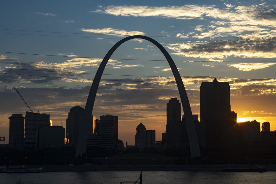
Eads Bridge is a three-arch steel bridge carrying road and light-rail traffic across the Mississippi between St. Louis and East St. Louis. Its stone approach begins at the north edge of Gateway Arch National Park. The North Gateway paths give you a public place to see the span; plan this as a riverfront and engineering stop rather than assuming you can walk across. Current access to the bridge-side sidewalk is unclear, especially on weekends, so check locally before planning a crossing.

Read the three archesFrom the North Gateway, look across the river for the three steel arches and their…

From the North Gateway, look across the river for the three steel arches and their granite-faced piers. Two decks carry the bridge's different kinds of traffic, while the dense ironwork makes the arches easy to read from the riverfront. For a photo, frame all three spans with the Mississippi below; the wide view shows how the bridge crosses the river without requiring a walk onto it.

James Eads takes on a bridgeJames Buchanan Eads made his name salvaging steamboat wrecks and building Union ironclad…

James Buchanan Eads made his name salvaging steamboat wrecks and building Union ironclad gunboats during the Civil War. The St. Louis Bridge and Iron Company hired him in 1867, even though he had never built a bridge. He paired the arch form with mass-produced Bessemer steel, and the three high arches left room for tall riverboats. Construction used nearly 2,400 tons of steel and more than 3,100 tons of wrought iron.

Built from below the riverThe piers relied on pneumatic caissons, which let crews work as they sank the foundations deep…

The piers relied on pneumatic caissons, which let crews work as they sank the foundations deep into the riverbed. The piers reached 123 feet, an unprecedented depth for the project. After years of construction, the bridge opened as the St. Louis Bridge on July 4, 1874; it is still described as the oldest standing bridge on the Mississippi.

A crossing in the city's historyThe bridge became part of the region's expanding commercial network after the Civil War.

The bridge became part of the region's expanding commercial network after the Civil War. It also figures in the 1917 East St. Louis pogrom: thousands of refugees crossed the river on the bridge to reach relative safety in St. Louis.

Wildlife

Wildlife in Gateway Arch

All Gateway Arch wildlife maps

Sighting maps show where each species has been reported across Gateway Arch. Wildlife moves, so no sighting is guaranteed.

Parkwolf’s Gateway Arch ranking

Top sights in Gateway Arch

All 24 places
  1. 1Gateway ArchSight
  2. 2Museum at the Gateway ArchSight
  3. 3Old CourthouseSight
  4. 4Riverboats at the Gateway ArchSight
  5. 5Old CathedralSight
  6. 6Malcolm W. Martin Memorial ParkSight

Take Parkwolf to Gateway Arch.

The audio tour guide for the drive, plus offline maps, trails, and wildlife heatmaps for when the signal drops.

4.7 from 8,600+ ratings

Download Parkwolf on the App StoreGet Parkwolf on Google Play