
Place · 0.7 mi away
Challenging
This is Glacier’s classic Many Glacier backpack: a strenuous loop that tags Poia Lake, Red Gap Pass, Elizabeth Lake, and returns over Ptarmigan Tunnel. Expect huge views, big elevation swings, and legit exposure to weather on the pass. The full loop is about 29.4 miles total when you include the road walk back to the starting trailhead; an out‑and‑back to the pass runs about 29.7 miles total. Either way, it’s a hard, rewarding trip that most hikers spread over 2–3 days.
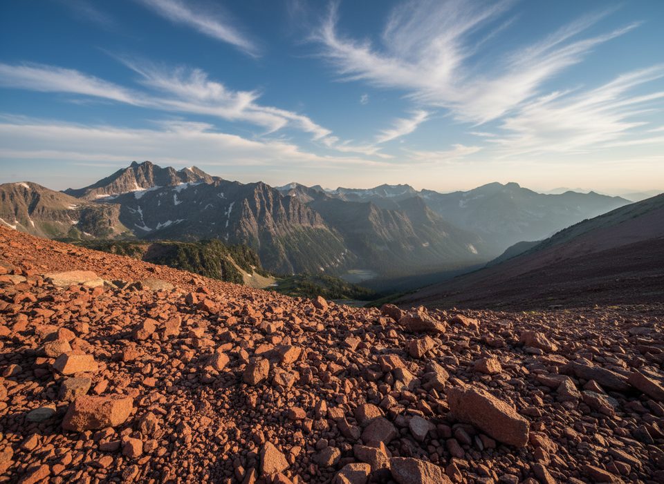
From the roadside Red Gap Pass Trailhead along Many Glacier Road (about 1.9 miles east of the Many Glacier Hotel), the trail immediately “yo‑yos”: climb roughly 1,223 feet to Swiftcurrent Ridge, drop 700 feet into the Kennedy Creek Valley, then climb another ~500 feet to reach Poia Lake around mile 6.4 (popular campground). Beyond Poia, a gentle valley walk leads to the real work: from roughly mile 9.4 to 12.0 you climb about 1,534 feet in under 2.5 miles via two switchback sets to Red Gap Pass (7,520 feet). The red rock you’ll see up high is Grinnell argillite, and there’s a small tarn just below the pass.
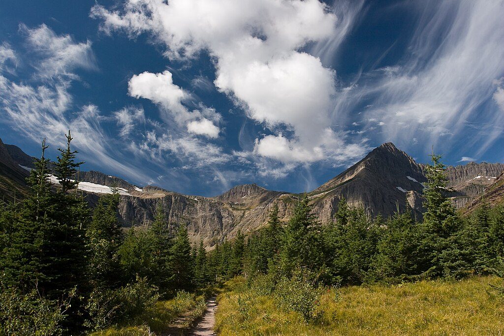
From the pass, the views are the money: Old Sun Glacier and Mount Merritt, the wide Belly River country, Elizabeth Lake, and a skyline studded with Seward, Henkel, Crowfeet, and Apikuni. The descent is steep—over 2,500 feet in just over 4.5 miles—past the Ptarmigan Trail junction (~mile 14.6) to Elizabeth Lake. Elizabeth Lake (Foot) Campground sits near mile ~16.6 and makes a natural second night.
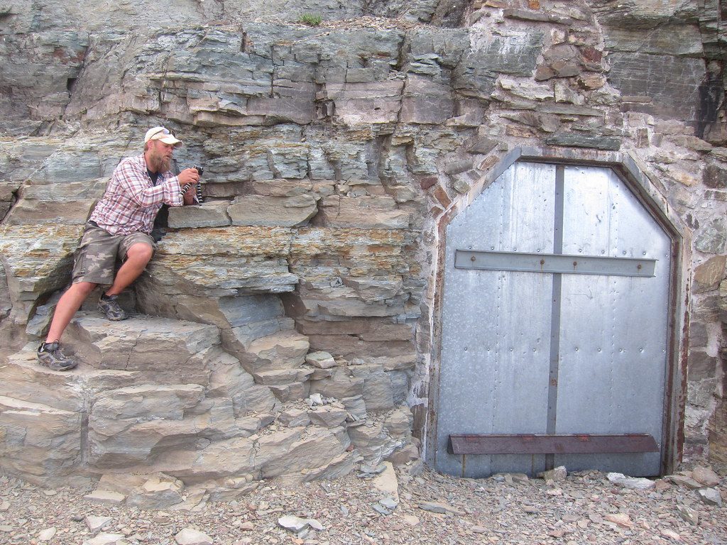
To close the loop back to Many Glacier, backtrack about 2 miles to the Ptarmigan junction, then climb roughly 2,500 feet to and through Ptarmigan Tunnel and descend about 2,400 feet past Ptarmigan Lake to the Swiftcurrent Motor Inn area in roughly 9.8 miles. From there, plan on a ~3‑mile road walk back to your starting trailhead.
This is a strenuous hike with prolonged climbs and long, steep descents. Snow can linger on high, steep sections well into summer. Expect wind at Red Gap Pass, mud and churned tread where stock travel, and bugs around Poia and Elizabeth (especially after wet weather). Cell service is unreliable—download maps ahead of time. Despite the scenery, it’s typically less crowded than the park’s marquee day hikes.
Poia Lake and Elizabeth Lake (Foot) are the two primary backcountry campgrounds used on this loop, and permits are required. Keep your pack weight honest—the “yo‑yo” profile and the pass climb make extra pounds hurt. A common 3‑day plan is: Night 1 Poia, Night 2 Elizabeth, exit via Ptarmigan Tunnel on Day 3.
Aim for mid to late summer for the best shot at a melted‑out pass and open Ptarmigan Tunnel doors (typically mid‑July through October 1, weather permitting). Expect strong winds and fast weather changes on the pass any month. If you’re day‑hiking, early starts help with lighting and heat; for the backpack, enjoy golden light on Elizabeth Lake mornings. As a day hike, Poia Lake is fine but not Many Glacier’s top out‑and‑back; the loop shines as a backpack.
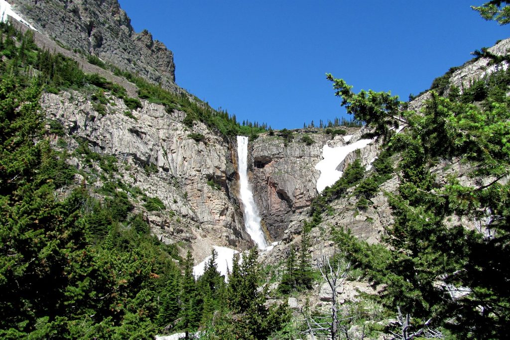
Normal years: park at the roadside Red Gap Pass Trailhead along Many Glacier Road (~1.9 miles east of Many Glacier Hotel) and be careful not to take the nearby Apikuni Falls trail by mistake. 2025–2026: construction has closed Swiftcurrent Motor Inn, Many Glacier Campground, and trailhead parking in the Swiftcurrent area, with parking largely limited to the Many Glacier Hotel lot and signed detours possible. Expect access restrictions when the hotel lot fills and be prepared to start/end from there and walk road segments.
Strenuous, exposed travel: the climb to Red Gap Pass gains ~1,534 ft in under 2.5 miles and the descent into the Belly River drops >2,500 ft in ~4.5 miles. Lingering snow on steep slopes is possible well into summer; traction and the skills to use it may be necessary. The pass is notoriously windy and weather can change fast. Ptarmigan Tunnel doors typically open mid‑July and close around Oct 1—build a backup plan if they’re shut. Stock use can leave muddy, rutted tread; camps near water are buggy. This is prime bear and moose country—carry bear spray, make noise, give wildlife lots of space, and use food poles where provided. Cell service is unreliable; download maps. Skip solo hiking and headphones and carry a topo map for backcountry navigation. For general NPS safety and wildlife‑watching guidance, see: [nps.gov](https://www.nps.gov/index.htm) and park bear‑safety primers like [yellowstonepark.com](https://www.yellowstonepark.com/things-to-do/wildlife/yellowstone-bear-faq/?scope=anon).
Place · 0.7 mi away
Place · 1 mi away
Place · 1.2 mi away
Place · 1.2 mi away
Moderate · 0 mi away
Challenging · 0 mi away
Challenging · 1.2 mi away
Easy · 1.2 mi away

Parkwolf Tour Guide
