
Place · 1.9 mi away
Moderate
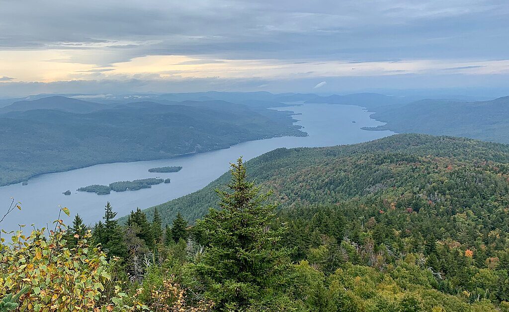
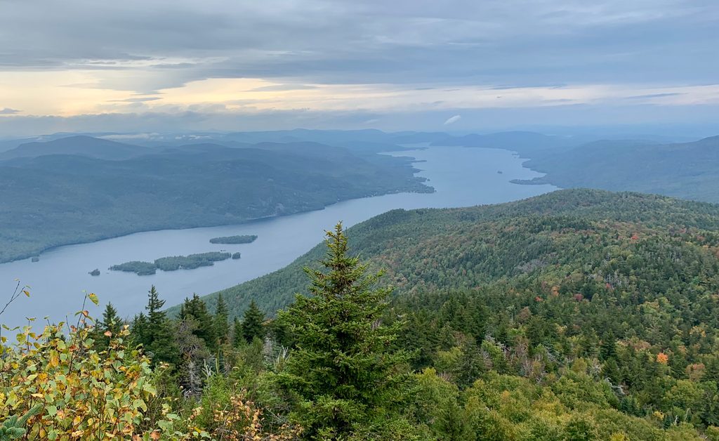
This is the classic Adirondack combo: a panoramic summit over Lake George plus a quiet backcountry loop past ponds and streams. The Black Mountain Loop is about 6.7 miles total, starting from Pike Brook Road, and is generally moderate with a steady, rocky climb. Expect roughly 1,250–1,270 feet of gain, no scrambling, and a well-marked route that still requires paying attention at junctions.
About a mile from the trailhead, you’ll choose your approach: a more direct old jeep road to the summit, or the longer, scenic route that swings by Lapland and Black Mountain Ponds. Most hikers make it a loop using both. If hiking counterclockwise, trail markers cycle red → yellow → blue → back to red. A few junctions are easy to blow past—there’s even a spot where a path drops sharply right while the summit trail bears left. Near the top, take the right-hand spur past a small memorial seating area to reach the main overlook.
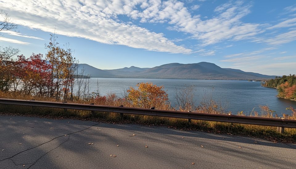
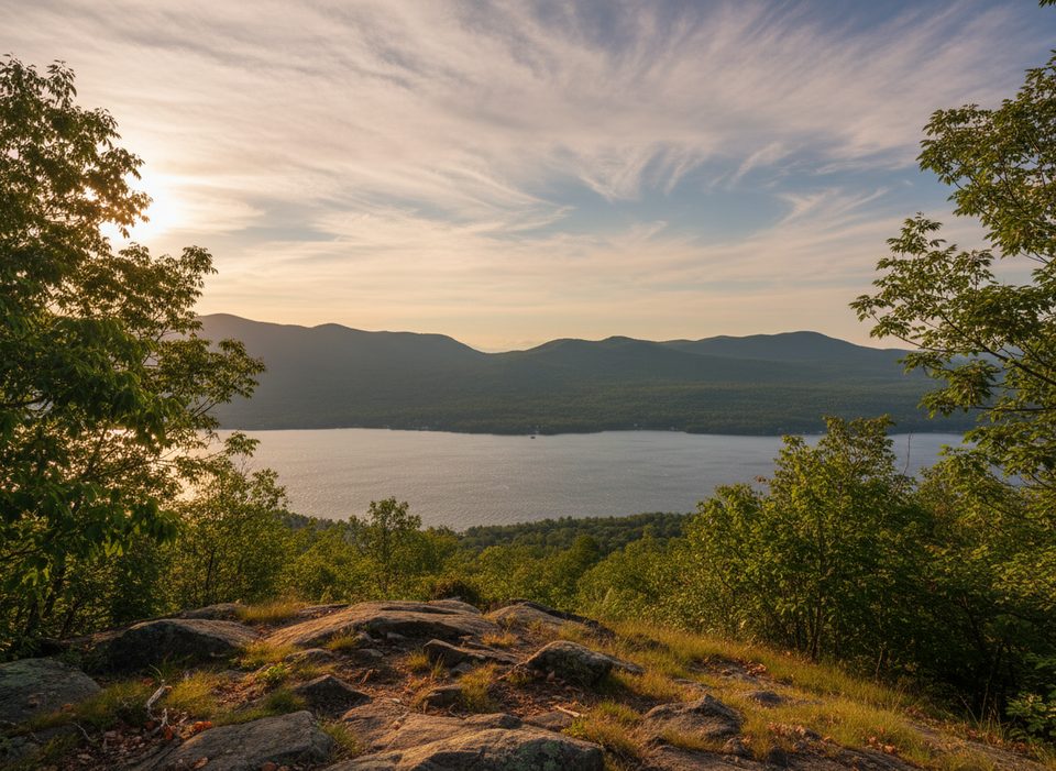
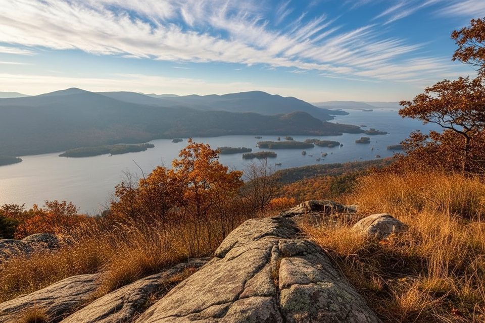
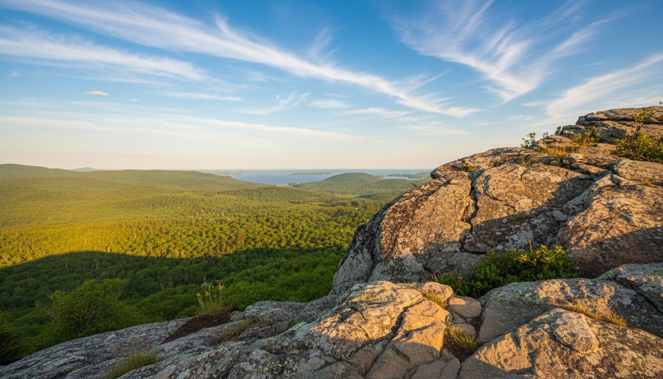
Black Mountain is the highest peak on Lake George, and the summit viewpoint delivers sweeping looks over the lake and the Tongue Mountain Range. You’ll pass tranquil waters at Black Mountain Ponds and Lapland Pond, cross a couple of streams on bridges, and hike through mixed forest where mushrooms are common. At the summit area, you’ll spot a closed fire tower and a wind turbine that powers a communications station—distinctive landmarks, even if you can’t climb the tower.
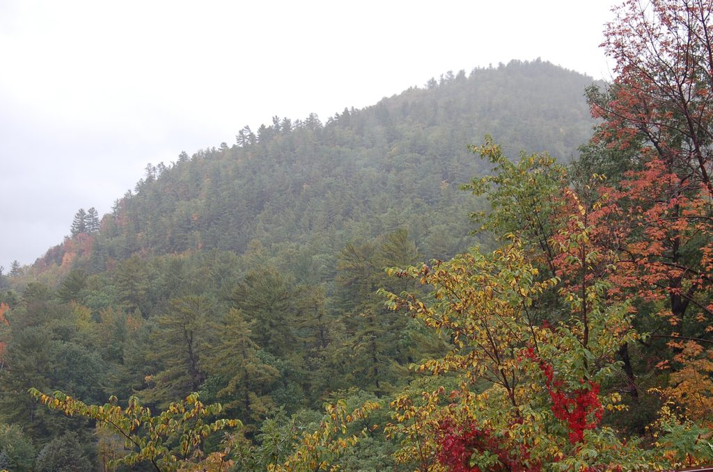
The first stretch is a wide, gentle road before narrowing into rocky singletrack that can feel like a streambed in wet periods. Higher up, the trail dries out but stays uneven. It’s a steady workout without technical moves. After rain or in shoulder season, watch for slick rock near the top; in spring expect mud, and in summer, bugs. In winter, this makes a solid snowshoe outing thanks to moderate grades (some segments double as snowmobile routes when there’s snow).
April–October is prime, with fall foliage making this loop shine and clearer air boosting summit views. Start early for better parking and to avoid descending in the dark—this mountain gets very dark after sunset. Waterproof boots and trekking poles pay off on the wet, rocky lower sections. There are no facilities at the trailhead, so bring everything you need. Dogs are allowed but must be leashed. No permits or fees are required for day hiking.
Trailhead parking is about 1 mile up Pike Brook Road from Hulett’s Rd; lot on the right. No facilities.
Rocky, sometimes wet footing (lower trail can run like a stream); watch tricky junctions and slick or icy rock near the summit; very dark after sunset; winter snowmobile use on some segments.
Place · 1.9 mi away
Place · 2.4 mi away
Place · 2.5 mi away
Place · 3.8 mi away
Moderate · 4.3 mi away
Moderate · 4.3 mi away
Moderate · 4.3 mi away
Moderate · 5.3 mi away

Parkwolf Tour Guide
