
Place
Easy
This mellow lakeside path traces the east shore of Lake George through the Shelving Rock corridor, serving up shoreline vistas and a quick side-trip to Shelving Rock Falls. Expect a relatively flat but rocky tread with frequent lake peeks and forest shade.
Length and pace: Plan on 7.0 miles total out-and-back (about 3.5 miles one way) if you continue from the Shelving Rock area north to Black Mountain Point. Most hikers take 3–4 hours round-trip at an unhurried pace. If you’re just heading to the falls and back from the wooden bridge access, it’s a fast out-and-back—roughly 0.5 mile to the falls before continuing lakeside toward Log Bay if you wish.
Trail feel: The footing is generally easy, with pockets of rocks and roots—especially near water features and along the immediate shoreline. After rain, expect muddy or washed-out bits, so sturdy footwear is smart. It’s a popular area, particularly near the falls and accessible shoreline segments, so go early for a quieter experience.
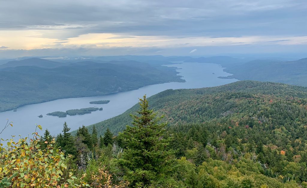
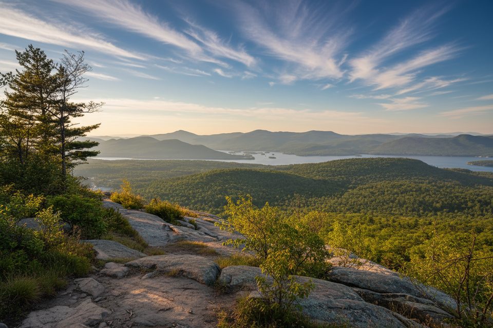
Scenery and highlights: You’ll get classic Lake George shoreline views, tranquil forest sections, and the crowd-pleasing Shelving Rock Falls not far from the start. Keep going for lake-level scenery toward Log Bay, with access to picnic and informal swimming spots near Log Bay and Black Mountain Point. The surrounding bedrock and scattered boulders hint at the Adirondacks’ glacial past.
Connections: This corridor sits within the Eastern Lake George Wild Forest. Ambitious hikers often pair the lakeshore walk with a separate outing up Shelving Rock Mountain or other nearby routes for higher viewpoints, but the lakeside path itself stays mostly level.
Tips and best time: Spring through fall is prime. Fall brings crisp air and standout foliage; summer is busiest; spring can be quiet but muddy. Arrive early for parking, bring water and snacks, and don’t count on cell service. Trailhead signage can be confusing—use a reliable map or GPS to stay oriented.
Access: A practical start for the lakeshore route is by the wooden bridge near the Shelving Rock Mountain trailhead; from there it’s roughly 0.5 mile to the falls, with the option to keep following the shore toward Log Bay. Area access commonly comes via Route 149 to Buttermilk Falls Road into the Shelving Rock network.
Use the Shelving Rock area lots along the access road; arrive early. The wooden-bridge pull-off near the Shelving Rock Mountain trailhead offers a straightforward start for the lakeshore approach. Note that signage and lot locations can be confusing; some hikers favor “Lot #1” for simple access.
Footing can be rocky and slick near water; expect mud and occasional washouts after rain. Crowds are common near the falls. Cell service is limited—bring a map, water, and snacks.
Place
Place
Place
Place
Moderate
Challenging

Moderate

Challenging

Parkwolf Tour Guide
