Overview
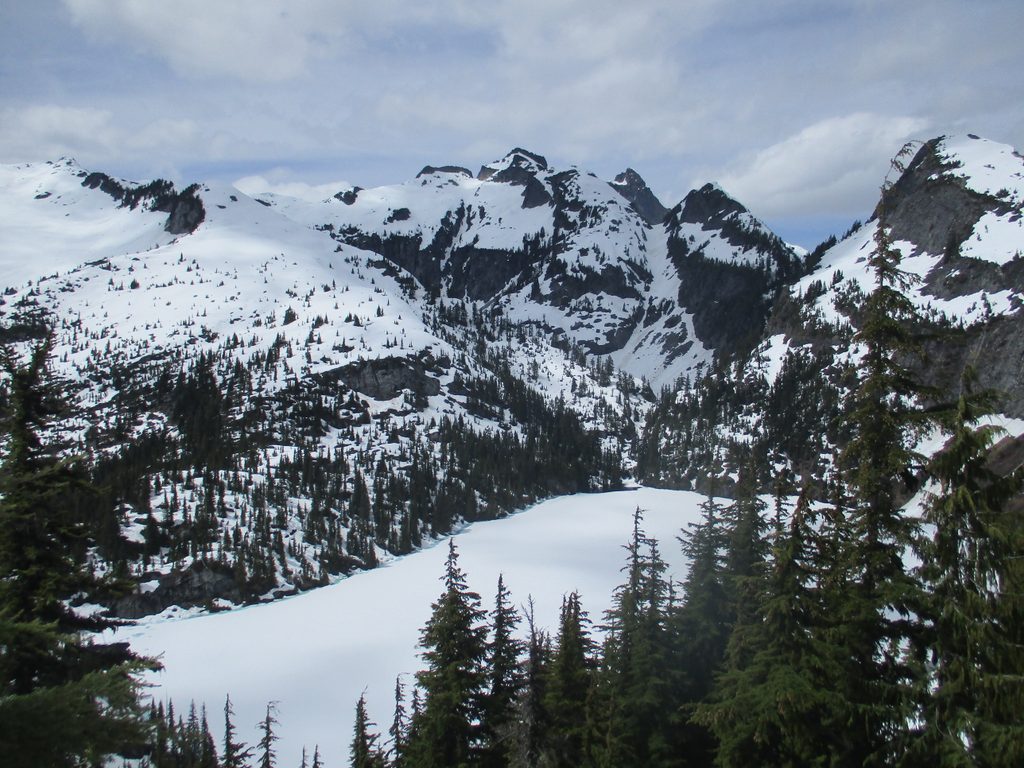
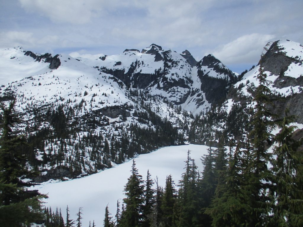
Thornton Lakes deliver big-mountain drama: turquoise cirque lakes tucked under craggy summits, sweeping ridge views, and the option to tag Trappers Peak for a 360-degree payoff. It’s a strenuous outing with primitive conditions, but the scenery earns every switchback.
The Hike, In Brief
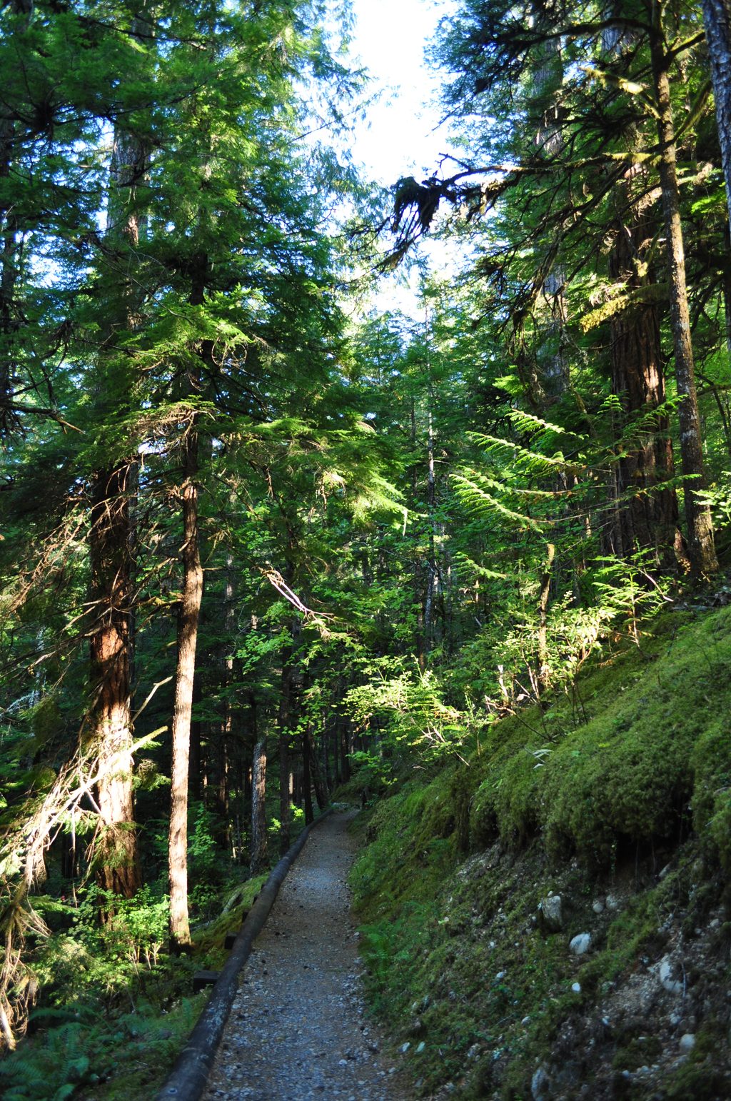
- Start on an old road grade for about two miles, then grind up forested slopes strewn with roots and rocks.
- Break out into heather and huckleberry meadows before reaching the ridge and a signed junction with views of Mount Triumph and the lower lake.
- Left drops to the lower lake; right scrambles to Trappers Peak.
Choose Your Finish
- Lower Thornton Lake: A short but very steep, narrow descent (600+ feet) that’s often muddy. Reaching camp requires crossing the outlet on big, slick boulders and floating logs—take it slow and deliberate. A rough climber’s path continues to the upper lakes.
- Trappers Peak: A steep, hands-on scramble gaining roughly 1,000 feet in less than a mile to just under 6,000 feet. The reward is a true panorama of the Pickets, Mount Triumph, the lakes below, and the Skagit Valley.
Season and Conditions
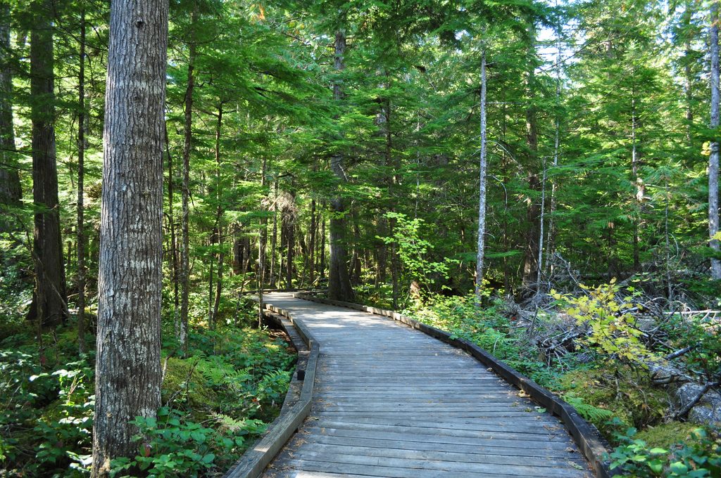
Snow lingers here; expect snow and meltwater in spring and sometimes into early summer. Early season can include steep snow where ice axe skills are prudent. Even in summer, the trail can be wet and muddy, and the lake descent stays slick.
Permits, Rules, and Road Reality
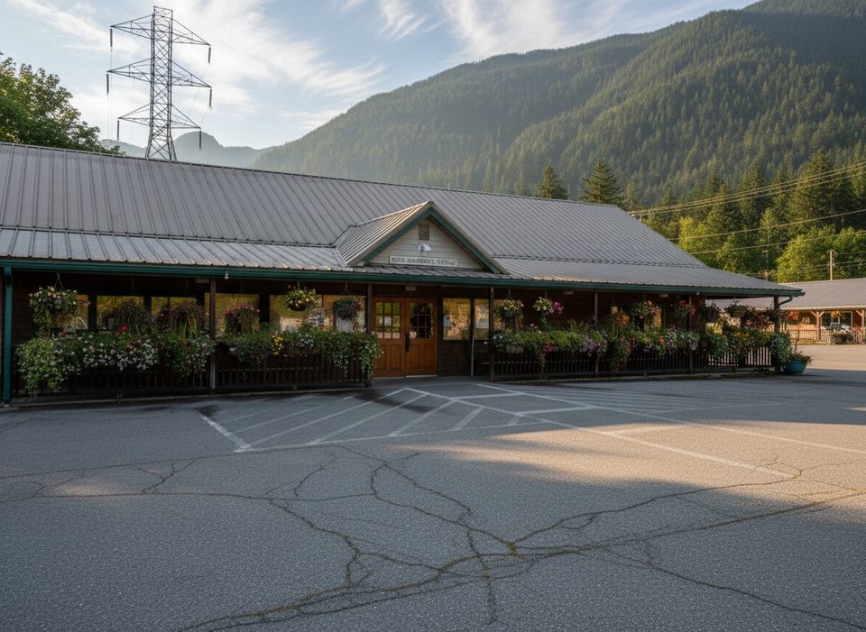
- Access: Thornton Lakes Road is rough, steep, and potholed for about five miles. High-clearance makes life easier; drive slowly.
- Camping: Backcountry permit required; camping is limited to designated sites at the lower lake. No camping on the ridge, at the second lake, or on Trappers Peak. No fires.
- Pets: Allowed on leash only up to the national park boundary (below the ridge); not permitted on the ridge, at the lakes, or on Trappers Peak.
- Day use: No parking pass is typically required at this NPS trailhead.
Wildlife and Geology
These are textbook glacial cirques—basins carved by ice—set within one of the most heavily glaciated mountain ranges in the Lower 48. Expect mountain country wildlife: deer, marmots, and black bears are possible. Give all animals space and store food properly.
Best Time to Visit
Late June through August offers the most reliable snow-free travel. Start early for cooler temps, steadier footing, and easier parking; weekdays see fewer hikers. If you’re chasing views more than a swim, prioritize the ridge overlook or Trappers Peak. Golden-hour light plays beautifully across the jagged skyline.
Make the Most of It
- If your goal is big views, consider skipping the slick drop to the lake and head for Trappers Peak or linger on the ridge.
- Trekking poles shine on the steep, rooty sections and the lake descent.
- There are no restrooms or water at the trailhead—pack in what you need and pack out everything.
- Early season travelers should be prepared for snow travel and check current park conditions before committing.
- The vegetation is fragile; stay on durable surfaces like trail, rock, or snow.